
Are you going to build something or make something better? You should know a lot about the land you are going to work with before you begin.
We can help you get a good picture of your place by providing Land Survey Services in the UAE. The survey data we produce is clear for architects, engineers, experts, contractors, and developers to use. It tells them how big the land is, as well as its levels and features.
We'll select the best surveying method and technology for your project, whether it's a big job or a small job.

Every piece of land is different. Existing buildings, roads, pipelines, and other features may affect the project. The project boundaries need to be defined, and ground level changes need to be assessed.
Do a good survey before you get to major construction and design.
A field study can help you with the following:
Your project team will plan better if they know more about the place.
At Falcon 3D, we know not all jobs are created equal.
The way we do land surveys is based on the type of land you have, the size of the job, and the specifics you need.
We help with surveys for these groups:
First, we find out what you need. Then, we get you the best way to measure.
Accurate gate level computations for precise construction and engineering planning.

Precise gate level marking for reliable construction site setting out.
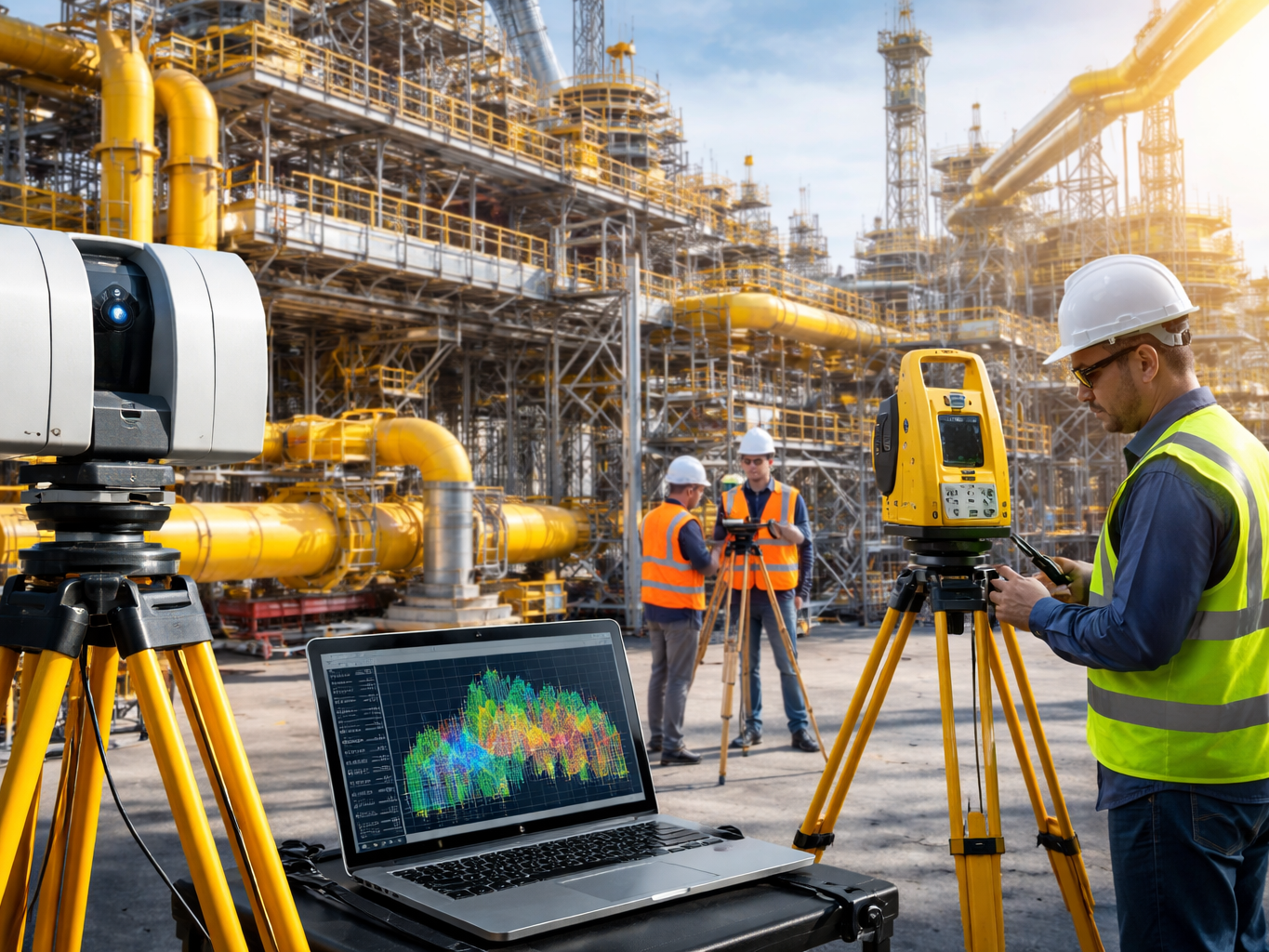
Ensuring structural dimensions are accurate from foundation to finish.
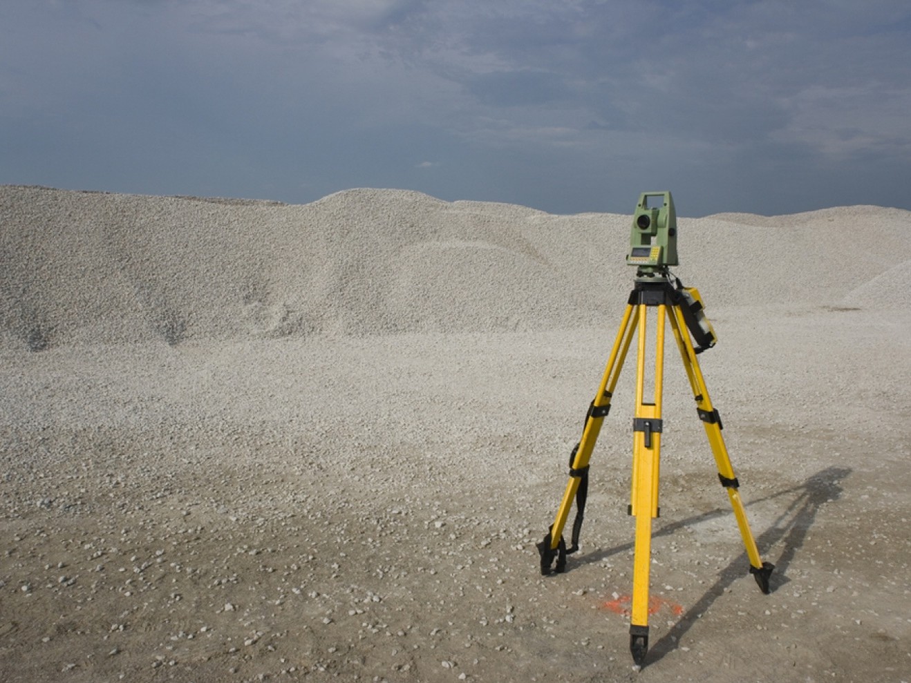
Reliable quantity and volume measurements for earthworks and material management.
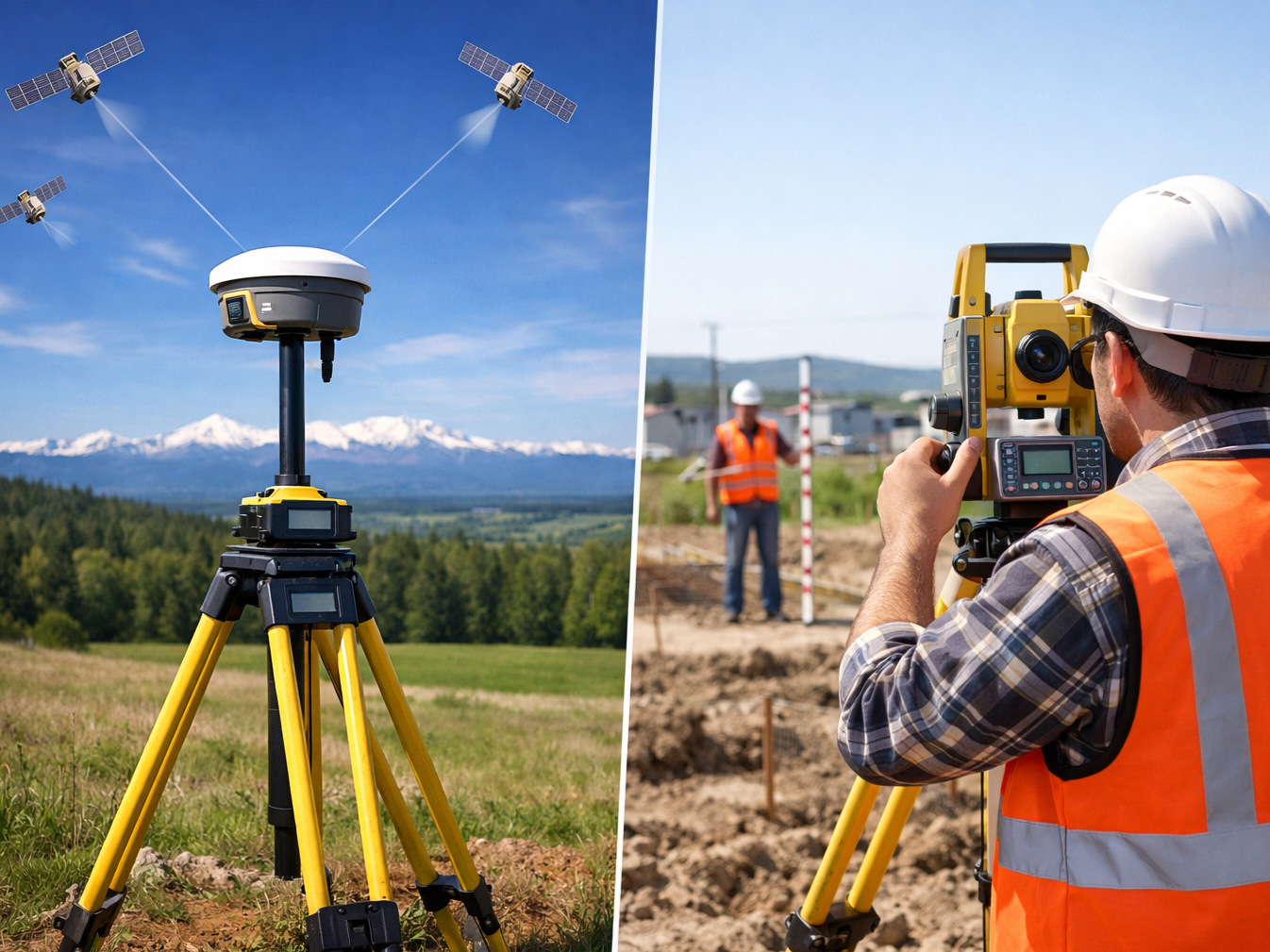
High-accuracy static and traverse surveys for control network establishment.

Professional GIS data processing for spatial analysis and mapping solutions.
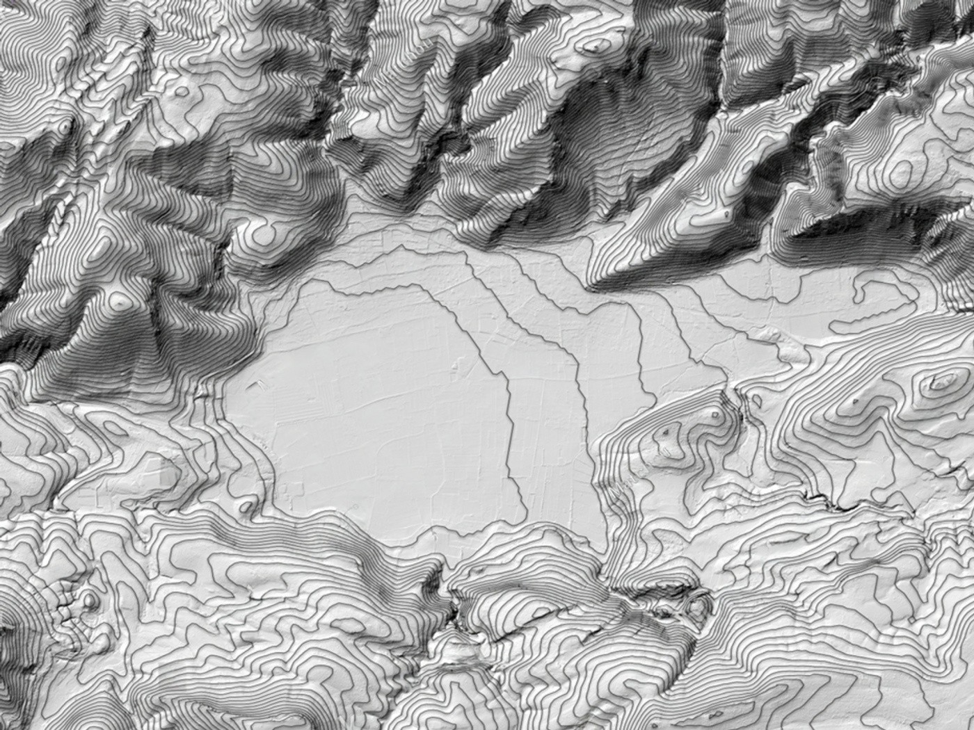
High-accuracy digital terrain and surface models for engineering and GIS applications.
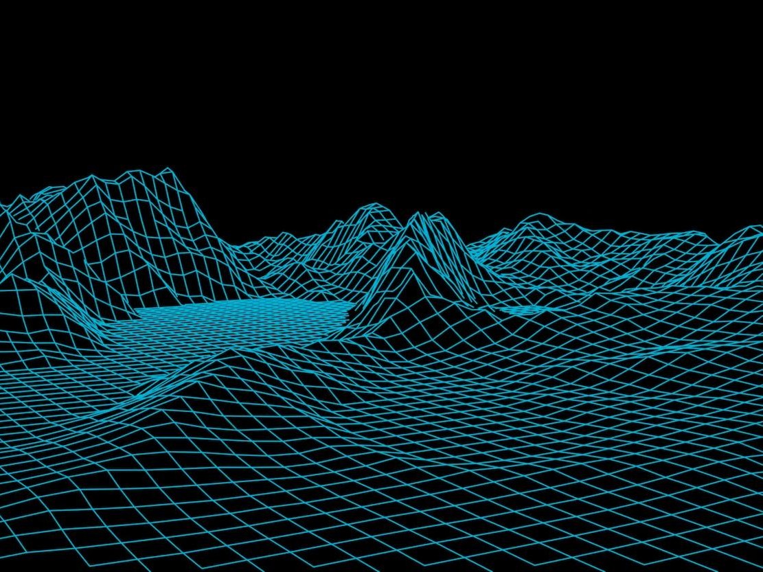
Detailed 3D mesh models from scan or drone data for visualization and analysis.
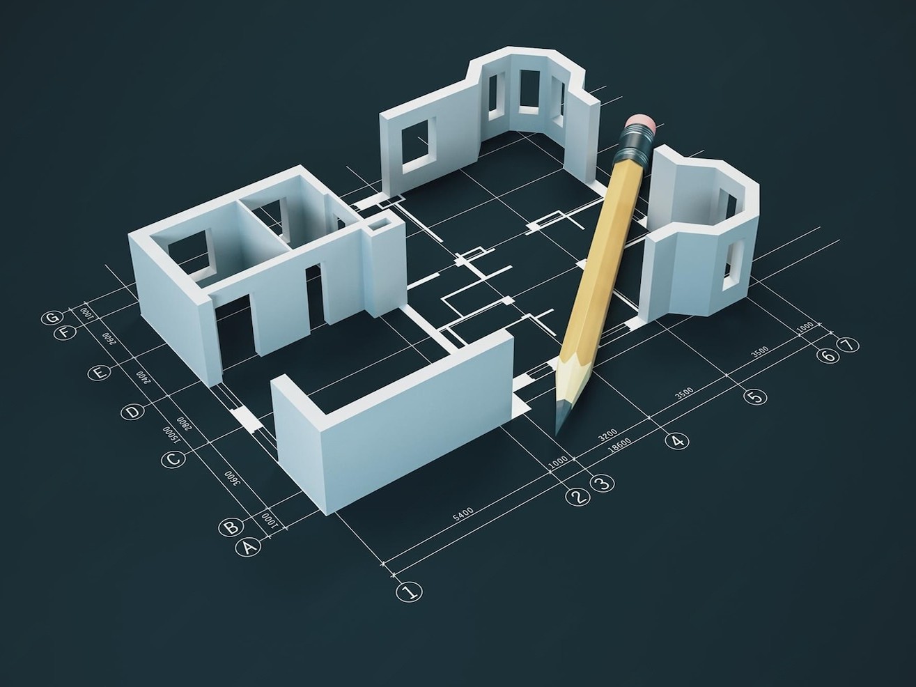
Accurate as-built, architectural and structural CAD models from laser scan data.
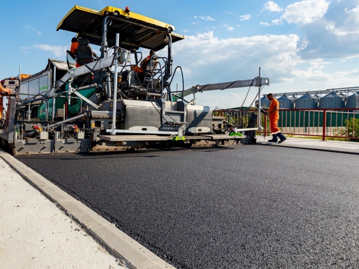
Checking road, pavement and asphalt levels against design levels.
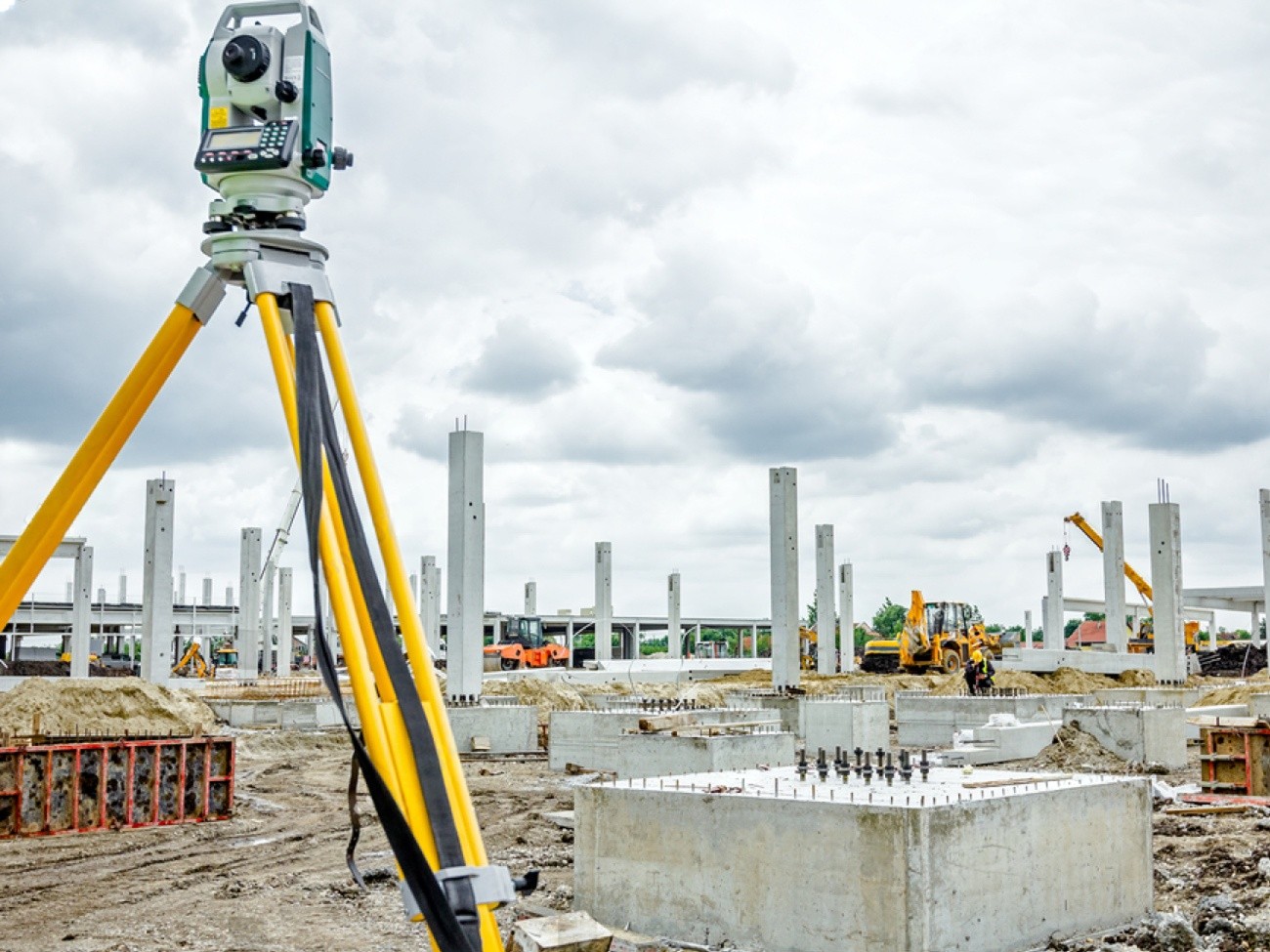
Column setting out, alignment and as-built position checks on site.
Accurate stockpile, excavation and earthwork volume calculations.
Want to know what your site is like right now?
Our Topographical Land Survey tells you important things about the land and the places nearby. These can be slopes, ground levels, buildings, roads, structures, drainage features, and anything else that is useful for the area.
This question can help your group with:
Before work starts, this gives a better look at the spot.
First, get accurate measurements. This is the first step to making something well.
We help contractors and project teams figure out where things are, how high they are, how big they are, and how to get to them at different steps of the building process.
These things will help us with your project:
A correct survey can help you stay on track with building, whether you are just starting or checking on work that has already been done.
It's important to find a Land Survey Company for Construction in the UAE that can help you with your project.
Falcon 3D works with builders, experts, engineers, and engineering teams on a wide range of city and building projects.
We use old-fashioned surveying methods and new ones such as GNSS, drone mapping, and 3D laser scanning if your place needs it.
As an engineering survey company in the UAE, we provide accurate information about the site to engineers and builders. This helps them with planning and building.
As the building goes on, engineers and other experts can use our survey data to see what the site looks like now, set coordinates and levels, and check their work again.
We can help you with the following with our engineering surveying:
Digital survey results that are easy to use and can fit in with how you already work on projects are what we give you.
Today, getting the locations right is a big part of surveying.
To get exact coordinates and location information, our GPS Land Surveying UAE services use high-tech GPS/GNSS gear.
When you survey with GPS or GNSS, you can:
It is possible to process data that was collected in the field and use it for building, engineering, design, and mapping.
From the ground, it can take a long time to look over a big area.
You can get more information from big or hard-to-reach places with our Drone Mapping Services UAE. From the air, drones can take pictures and collect data that can be used to make digital maps and models.
Drone maps can be useful for these things:
Some projects let us use data from both drones and ground surveys together to get a fuller picture of the site.
It's not always enough to have a simple site plan.
Because we offer 3D Land Surveying UAE, we can learn a lot about a site and make a digital model of it.
We may use GNSS, drones, 3D laser scans, or other tools for measuring, based on the task.
After getting this information, you can:
This helps project teams see and understand how things stand at this point.
A Laser Scanning Land Survey can tell you a lot about buildings and sites that are already there and are hard to understand.
It takes a lot of data about space and turns it into a point cloud that shows the area that was studied.
This could be useful for:
Instead of taking measurements one at a time, your team can use a full digital record of the area that was surveyed.
To plan many projects well, getting to know the ground is important.
As part of our Terrain Survey Services, we can tell you about the ground's heights, slopes, shapes, and changes in elevation.
This can help with:
It helps engineers and designers decide what to do when they know more about the land that is already there.
Our Land Mapping Services UAE take survey data and turn it into clear maps, drawings, and video files.
Depending on the project, the following may be among the outputs:
Architects, engineers, consultants, contractors, and developers can all use these results at different times in a project.
We don't do surveys in the same way for every project.
We choose the technology based on your site, the project's needs, the area, how easy it is to get to, and the amount of detail you need.
Here are some of our skills:
A mix of technology and real-world surveying knowledge lets us give you the data your project needs.
Our testing services are useful for a wide range of clients.
Before you start planning and building on the land, make sure you know all the facts about it.
Use correct information about the site when you plan, build, check levels, and keep track of what you've done.
To plan your design and technology, you should get reliable survey results.
Get to know the site as it is now before you start making changes.
Don't guess when it comes to building jobs like roads, utilities, transportation, and more.
Find out more about the project areas and services that are already there.
What a survey finds is only useful if it is right and easy to use.
Our main goal at Falcon 3D is to give you useful scanning tools that are made to fit your project.
We talk about the job and the information you need before you start the survey.
A GPS/GNSS, a total station, a drone, or 3D laser scanning could be the best way for each spot.
We can plan, build, create, map, and keep records with the information from our surveys.
Through surveying, we can help with building, industrial, commercial, and infrastructure projects, as well as land development.
We can talk about your needs if you need a Land Survey Company in Dubai or help with measuring anywhere in the UAE.
Whether you need a Topographical Land Survey, a building survey, a GPS survey, drone mapping, a terrain survey, a 3D land survey, laser scanning, or land mapping, we can help you find the right service for your site.
We want to know about your project, the site, and the poll you need.
Our staff can help you pick the best measuring method and give you the information you need to move on to the next stage of building or planning.
Falcon 3D
Do the surveys right. Site details that are easy to understand. Have faith in your project planning. Contact us today.
Get a Free Quote