

See how much information you have on your page. Plan better. Believe in what you are doing. If you are managing a building or infrastructure project, knowing how much dirt, sand, rocks, or other materials you need can be very helpful.
If you are a Quantity and Volume Surveyor in the UAE, Falcon 3D can assist you in providing accurate measurements of stockpiles, excavations, site materials, and land volumes.
We use state-of-the-art surveying and 3D mapping tools to transform information from your site into clean, measurable data that show you what you have, what has changed, and what you need to do next.
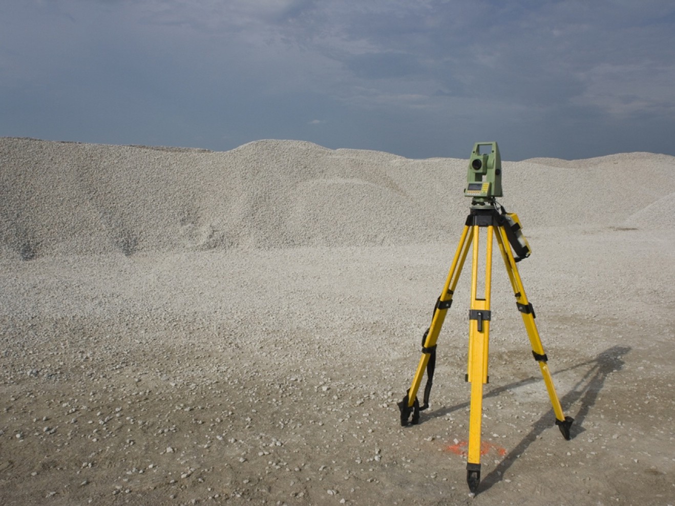
This means it tells you how much dirt or other stuff is there.
It might not be easy to tell how much sand a big pile on a construction site holds just by looking at it or counting it.
Get your reading from a qualified volume surveyor, and it will be far more accurate.
The same method will do for soil and earth, sand, and whatnot. They dug up and filled in a lot of things, including building materials and large chunks of land.
You can use our Volume Survey Services in the UAE to find out how big different parts of a place are.
Based on what you need to measure and where you are, we choose the method.
Usually, the following simple steps occur:
First, we learn about your project, where it is, and what you need to know.
Our survey team gets a lot of useful information by using the right technology and polling tools.
Once the data is collected, it takes some time to create a detailed computer map of the area.
The poll results tell us how much, where, how high, and how much space we require.
The end survey results are easy to understand and can be used to direct, plan, and keep an eye on the project.
For each job, you need to do things differently. For each site, Falcon 3D can use the following:
Drones make it easy and quick to cover a lot of ground. You can get pictures from above and use them to make 3D models and clear plans for buildings.
With 3D laser scans, you can get a very good picture of the shape and surface of a space. It comes in handy when you need exact measurements for a job or can’t find standard measuring tools on the job site.
A GNSS receiver and a total station are used to get exact survey points, positions, heights, and ground measurements.
After that, you can use these numbers to get a good idea of the area and figure out how much something costs.
By taking pictures from different angles, photogrammetry lets you make detailed maps and 3D models. Drone surveying is often used for the right jobs.
Once the site data has been gathered, it needs to be processed and reviewed.
Depending on the project, we could use standard tools from the following companies: AutoCAD is used to draw things and organize survey data.
These types of surveys are great when you need to get exact readings of things such as earth or materials.
Construction crews can use survey data to monitor excavation, backfilling, stockpiling, and other earthwork progress.
Construction projects such as roads, highways, utilities, etc. often require a lot of work to be done to the ground.
Accurate measurements can help you plan and track things.
Companies that quarry and gather rocks can use reserve data to keep track of how much stuff they have on hand at all times.
Survey data can help people who need to prepare and grade land figure out how high the ground is now and how much cut-and-fill to use.
Size measurements can help big mining sites keep track of the ground they’re digging up and how much they’re using.
In industrial places, measuring quantities may be needed for things like building, developing, digging, or storing materials.
When you might need a survey:
We prepare all of our measurements to help you estimate quantities of dirt, sand, rocks, and other materials on site. Examining the Size of the Stockpile: With large piles, it can be difficult to measure by hand. Our Volume Survey Services UAE are there to help you get accurate measurements of volume, which can help you keep track of your stock and plan your work.
We work out how much digging and filling you have to do so you can see how much dirt has been moved and how much work is left to do.
and discover how much cut and fill you need for your project. It allows you to compare the current elevation to the expected elevation.
Our Construction Quantity Survey Dubai and UAE services assist in measuring and planning, tracking progress, and managing materials on the job site.
The amount of topographic data can help you understand the elevation and structure of the land. Knowing these things will help you get volume and quantity correct.
We use state-of-the-art surveying tools to collect lots of information from your site.
We can use different types of studies like mobile mapping, 3d laser scanning, drone mapping, etc.
The main steps are easy:
Site survey, 3D mapping, and quantity & volume calculations. This way, we can quickly measure large or difficult areas, rather than taking the time to do it by hand.
Having correct information about amounts can help you every day when choosing projects.
It can help you:
Find out how many are out there and how many you might need.
Look at reports from different periods to see how much work has been done.
Take care with materials stored in bulk and in large quantities.
You don’t have to rely on guesses because you can use real survey data instead.
These days, surveying tools are better than measuring everything by hand for covering big areas.
Not just survey data; we want to give you useful data too.
With our number and volume polls, you can do the following:
Our Accurate Volume Survey Services UAE can be used for any size project.
We can help you with:
It can also help Quantity Takeoff Services UAE measure the site accurately. With drawings, estimates, and project plans, plus information from the real site, you can give your project team a better idea of how much material they need. Look at your site up close. Falcon 3D can help you determine the size of a pile, an excavation, groundwork done, or changes on a construction site.
Our Quantity and Volume Surveying services give you accurate numbers that help you plan and keep an eye on things.
Contact Falcon 3D right away. We’ll help you pick up the right hardware for the job.
Get a Free Quote