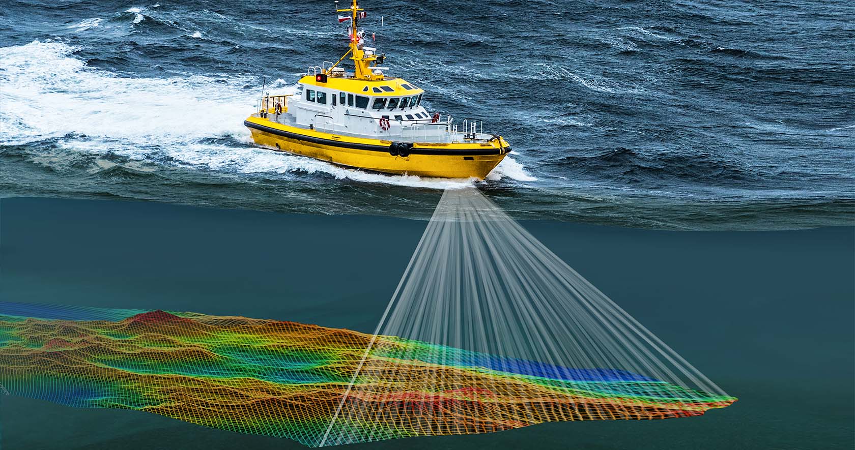
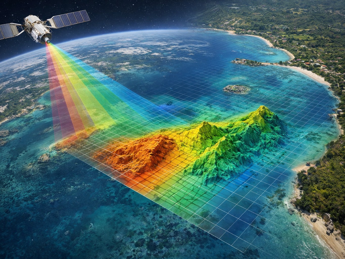
Our bathymetric survey services give you reliable information on the depth and bottom for projects in the UAE's coastal, marine, and inland waters. We use current bathymetric LiDAR, drone surveys, and hydrographic technology to give clients reliable findings for Bathymetry Survey UAE, bathymetric mapping, and Hydrographic Survey in Dubai, UAE. You're in the right place if you want to find a bathymetric survey near me or a competent bathymetric survey firm.
A bathymetric survey finds out how deep the water is and what the ground underneath it looks like. It's like a terrestrial survey, but it's done underwater. It helps you get a better idea of:
Before undertaking any marine building, dredging, or coastal development, this information is vitally important.
The UAE boasts vast coasts, ports, canals, and buildings that are out at sea. Knowing what's under the sea can help you avoid making expensive blunders. Bathymetric surveys help with:
Accurate underwater data makes every project safer and wiser, from Bathymetric Survey Abu Dhabi to Hydrographic Survey Dubai, UAE.
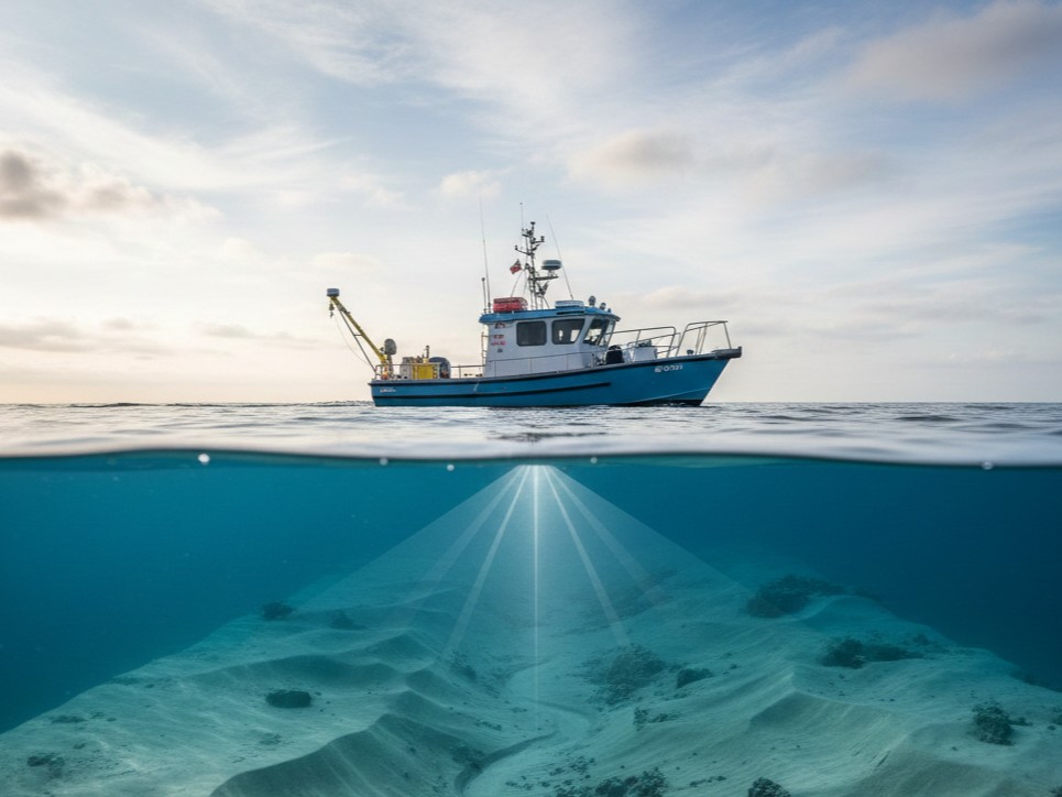
Low-level water and the coast are the best places for our bathymetric LiDAR drone studies.
For projects close to the beach, lagoons, shorelines, and canals, this plan works really well.
Some of the things we do with raw data that are easy to understand are:
Because of our bathymetric mapping, engineers, experts, and planners can feel good about the choices they make.
We're always happy to clarify the outcomes.
We use up-to-date, reliable tools to get correct results:
And this makes sure that every job is just as good.
Are you looking for a bathymetric survey business in the UAE that you can trust? Clients pick us for these reasons:
Our main goals are clarity, correctness, and making our clients happy.
Our bathymetric survey services help a lot of different fields, such as:
We change how we do things to fit your demands, no matter how big the project is.
Dredging Work
Check the levels of the seabed
before and after dredging.
Keeping Ports and Harbors Up to Date
Make
guarantee safe navigation and stop shoaling.
Building on the Coast
Help with planning and
protecting the beach.
Structures in the Ocean
Give precise depth
information for structures and foundations.
We make the procedure simple and clear:
1. Know What You Need
We talk about the aims
of your project and the state of the site.
2. Do the survey
We utilize boats or drones,
depending on how deep the water is and where it is.
3. Handle the information:
All of the data
we get is cleaned, looked over, and confirmed.
4. Give clear outcomes
You receive
easy-to-use maps, models, and reports.
We provide bathymetric surveys across:
Wherever your project is, our team can support you.
It is used to measure water depth and map underwater ground for construction, dredging, navigation, and environmental work.
Yes. For engineering and planning reasons, the data is correct and reliable because it was collected using modern tools.
It is based on the size of the job. It might take a few days for small polls, but it might take longer for bigger ones.
We can help you if you need a professional bathymetric survey, bathymetric maps, or a trustworthy hydrographic survey in Dubai, UAE. We always give you clear facts, helpful support, and reliable results.Get in touch with us right away to talk about your bathymetric study needs.
Contact Us