

Ground Modeling Companies provide DTM and DSM Services in the UAE. You need to know the location before you start a big project. Before you begin construction work, you should be aware of the existing features of the site such as heights, slopes, natural curves, etc. This knowledge allows engineers, builders, and contractors to plan their projects with confidence and avoid unpleasant surprises, which will cost a lot of money in the long run.
Our Terrain Model Services allow us to create highly accurate digital models of your site so that you can figure out the best possible route from the very beginning. Our terrain models are the solid foundation that is needed for any successful project. Whether you’re developing a community, commercial property, industrial park, highway, or infrastructure project, we can help. We use the latest mapping software and survey equipment, including drones, GPS, and Total Stations, to produce Digital Surface Models (DSM) and Digital Terrain Models (DTM) for projects across the UAE.
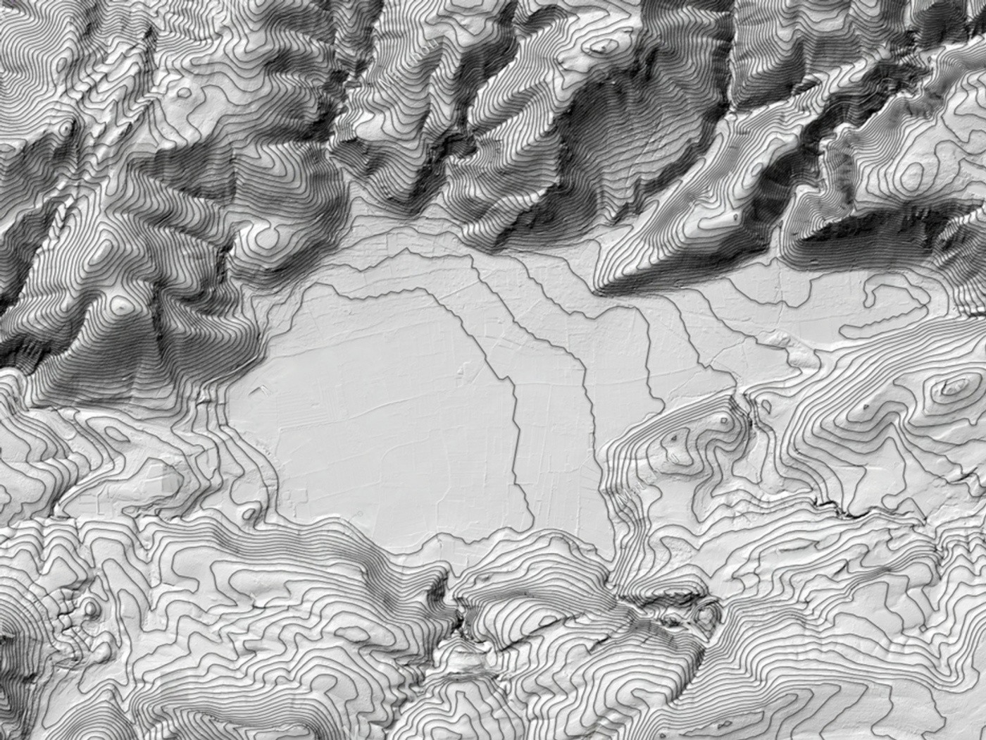
Land modeling is creating a digital image of your land. It allows project teams to visualize and understand the form, elevation, and surface characteristics of a site before construction. Engineers don’t have to guess. “They get accurate digital data that helps them to plan better, to reduce risks and to build faster.” Our Terrain Model Services UAE can help you irrespective of the size of your project, from small housing developments to large power plants and highways.
People talk about DTM and DSM together a lot, but they represent different things.
A picture of the project team can see and understand a site before they start building because it shows its shape, height, and surface qualities.
We can help with anything from small housing developments to large power plants and highways.
Often DTM and DSM are lumped together, but they teach different things.
In the absence of homes, trees, or anything else on the ground, a Digital Terrain Model (DTM) will include the look of the land. This is very useful for planning and construction as it describes the land in detail. Our Digital Terrain Model Services will complement site plans and maps, the building of roads and highways, groundwork calculations, planning of water flow and drainage, equipment gathering, ground leveling, making plans for use, and inspecting flooding. Smart planning and fast project completion come with our Accurate Digital Terrain Model Services, giving you accurate information—a digital twin of the surface on the site. You can see trees, roads, bridges, buildings, and other constructions. These are all part of a Digital Surface Model (DSM).
The Digital Surface Model Services that we offer are often used for
When you use DTM and DSM together, you get a full picture of the project site. This helps you make better plans.
We offer full Terrain Modelling Services and use the most up-to-date measuring tools and software in the business.
These are the things we do:
We offer Advanced Landscape Modelling Services in the UAE to make sure that every project gets correct, reliable, and easy-to-use landscape data.
You need correct information to make smart decisions.
Starting a project with accurate terrain data allows your team to plan better, avoid problems that come out of the blue, and finish projects faster.
Here’s what our UAE terrain model services can do for you:
Having correct terrain data makes your project run more smoothly and gives you better results.
We are happy to carry out Terrain Model Services in the UAE, including the cities of the United Arab Emirates: Dubai, Fujairah, Al Ain, Abu Dhabi, Ras Al Khaimah, Umm Al Quwain. Whether it’s one building or a large infrastructure plan, our team can build accurate terrain models for you, no matter the size of the job.
You can depend on our Terrain Model Services Dubai because we know how to provide you with accurate study data and have the right tools.
When we plan land in the UAE, we know that every job is different. We make sure our method of surveying fits your project, the site, and the tools you need. Our experienced surveyors collect very accurate data using new and old tools and methods. They make sure that each terrain model is of the highest quality and is correct.
At every stage of a project, our ground models are used for things like
Get to know the site well before you start making art on it.
Check that your building and engineering plans are right.
You can help by digging, filling, and making things.
Monitor the work that is being done on the site and speed up the build process.
Make sure to keep accurate digital records, in case you need to add to or change them in the future.
“DTM” means “Digital Terrain Model.” A DTM is a picture of the real ground. Things like trees, houses, and more are taken out of the scene.
These things are possible with a DTM:
On a DSM, you can see the ground and things that are on top of it, like roads, stores, trees, and other buildings.
DSM can help with:
Making city plans
We do different jobs with different tools. How correct it had to be, what the project was for, and how big the area was all played a role in our choice of technology.
In each area, it is used to precisely measure points, levels, distances, edges, and other things.
Building projects and in-depth studies of the land’s shape are the best things to do with it.
That is, this tool helps you find the exact places and heights of survey points.
It works best on big places, for building projects, and for surveys of buildings.
Drones can quickly and clearly take pictures of big areas from above.
Large sites, areas of land growth, tight roads, mines, and hard-to-reach spots are the best places for this.
Many places where LiDAR can be used can provide very good 3D data.
It works best for big places, projects that need a lot of data, and things that have a lot of traits on the ground.
After careful mapping of places on the ground, mapping with drones is more accurate and speeds up the search for things.
If the job calls for it, we might.
What you need for your job and what data you need at the end will be different.
It’s clear how we do things.
We talk about your place, the area, the project’s goal, the accuracy standards, and the things that need to be done.
Our survey team chooses the best instruments and methods.
The spot is confirmed by means of GNSS, a Total Station, a Drone, LiDAR, or combinations thereof.
The incoming data is carefully processed with special software.
We look for flaws, faults, or loopholes in the model and the data.
The final files will be easy for your engineers, consultants, builders, and contractors to use, as they will be available in several different formats.
Building on the ground is helpful when the land is a big part of the design and planning.
Find out about the land so that you can level it, dig, plan the base, and do the math.
It helps you plan cut-and-fill jobs, find slopes, line up roads, and build drainage systems.
You can help build tracks, bridges, roads, utilities, drainage systems, and more.
When you want to build a house, business, or company on land, you should know about it first.
Get your cars off the roads that lead to energy facilities, factories, and pipelines.
Level the land and help with solar farms, wind projects, and planning the site.
With terrain models, you can plan a site, measure piles, figure out volumes, and keep an eye on things.
You can see what roads, houses, plants, and other things are already on the ground with DSM data.
Learn about and think about things like floods, drainage, and erosion to help make plans for the environment.
You can do the following when you hire us to do ground modeling:
There are big projects with homes, companies, and a mix of the two.
Roads, bridges, trains, and other things that help people get around.
Planning the infrastructure of the site, leveling it, and then building on top of it.
You can see houses, access roads, pipelines, and power plants out there.
Water, electricity, phone lines, drains, and other services are brought in by roads.
Making maps of the land, stockpile surveys, finding volumes, and walking around the area are all parts of it.
Comes from things like solar farms, wind farms, and the equipment that helps them work.
City planning, land development, and public service construction.
Here’s what we can give you if it’s right for your project:
Work on the ground and work out how much.
Once you inform us about the accuracy, coordinate system, file format, and engineering process you require, we will prepare the latest data for you.
We are one of the best terrain surveying companies in Dubai. We are committed to offering you quality, accurate, and reliable service.
People choose us because we give them:
People in the UAE who work as builders, architects, consultants, contractors, and developers trust our Certified DTM and DSM Survey Services.
The first step to a job that goes well is to have correct information. You can get correct terrain data from our DTM Services, DSM Services, and Terrain Modelling Services. This allows for better planning, design, and build.
We are ready to help you with your project, with professional measuring services and results you can trust.
The first site study is just the beginning. We want to help you build on that to create the final digital terrain model. That’s because better data leads to better projects.
Get a Free Quote