

Each project has a narrative to tell, and the first step is to learn about the place. When you know what’s there, it’s easier to make judgements, whether you’re designing something new, looking at a building that’s already there, or monitoring progress on a construction site.
Falcon 3D ME is a professional 3D Mesh Modelling Service provider in the UAE. These services convert drone survey data to high-resolution, realistic 3D models. With the latest in drone technology, photogrammetry, and reality capture, we create digital models of your projects so you can view your project like never before.
With our 3D Mesh Model Services, you will get the insights needed to plan confidently for anything from buildings and bridges to agribusinesses, roadways, and large infrastructure projects.
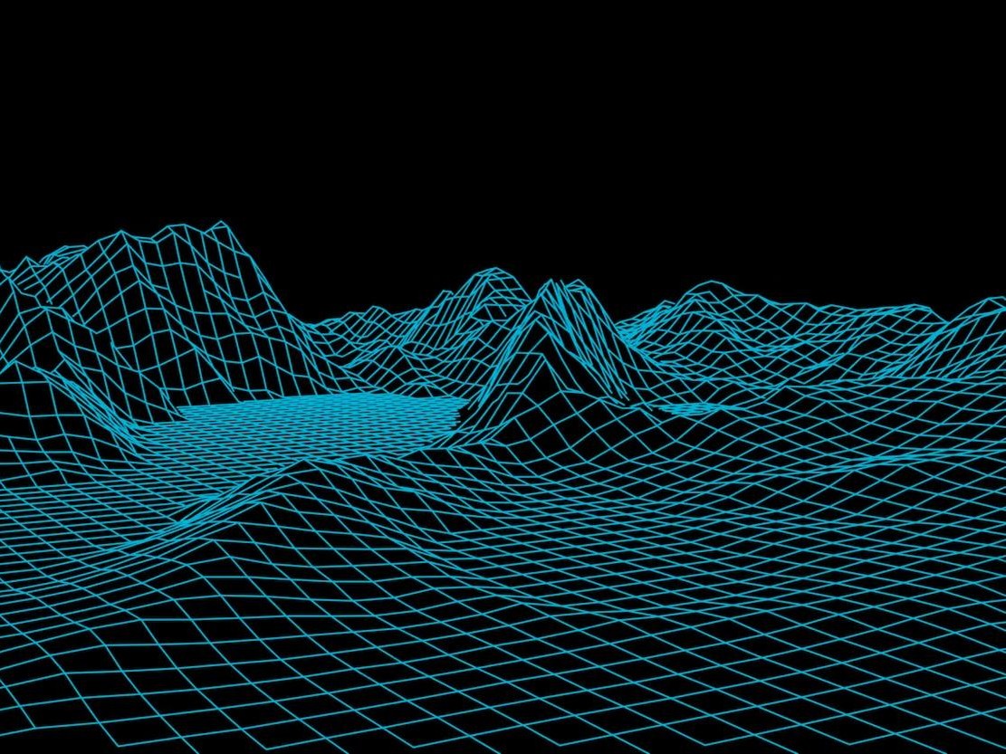
It’s sort of like creating a digital twin of your project location.
Our team captures thousands of high-quality aerial images using drones. When you analyze these images, you generate a realistic 3D model showing the shape, size, and style of your site.
No more flat pictures or photos spread out for you to lean on, but an interactive model that you can spin, zoom in on, and look at from all sides. It helps people understand how things are now, express their ideas, and make good project choices.
Traditional surveys are time-consuming and often require more than one visit to the site. Usually, 3D Mesh Modelling based on drones allows you to capture images of large areas quickly, safely, and with high quality.
When you choose our UAV 3D Mesh Modelling services, you will be able to:
We use the latest drone technology and engineering expertise to generate high-resolution 3D Mesh Models to better plan from the start.
You need solid knowledge for making good selections.
That’s why all projects have to go through a rigorous process of quality control and surveys. Using our Engineering Grade 3D Mesh Modelling process, we ensure your model is correct, contains sufficient information, and can be used to help plan, create, inspect, and manage projects.
We also have Point Cloud to 3D Mesh Conversion for those of you who already have LiDAR or laser scan data. This transforms survey data into life-like digital models that are easy to view, analyze, and circulate.
We supply many kinds of enterprises with 3D Mesh Models for Infrastructure Projects such as
When precise information on a place is needed, our team is ready to assist.
Getting the right information from your site is the first step in making a detailed 3D model. To make a good digital model from real-world data, our team uses drone surveys, survey tools, and up-to-date 3D processing technology.
tell us about your site, the project, the area you want us to cover, and how much detail you need. Then we find the best and safest way to do the voting.
Our drones take many high-resolution images at different angles. For projects where increased accuracy or detail is required, we can also utilize GNSS/RTK, LiDAR, or laser scanning data.
The captured images and survey data are processed using professional photogrammetry and 3D reconstruction software. The software looks for things that all the pictures have in common and starts to make a digital copy of the site.
It then processes the data and generates a full 3D mesh. Then the model can be textured to be much closer to the real place.
Our team reviews the model for quality, correctness, congruence, gaps, overages, and whatever else.
When your model is ready, we’ll provide you with the files and outputs you need based on your intended use.
To make detailed digital models, we use surveys, photogrammetry, drone technology, and 3D processing.
“High-resolution drones can take pictures of large areas very quickly, but also take clear pictures of buildings, structures, terrain, and infrastructure.
To improve the measurement data and to help find the right place, RTK/PPK and GNSS technology can be used for more accurate positioning.
allows you to take several pictures and stitch them together to create 3D data. It is one of the most important tools we use for Drone 3D Mesh Modeling.
LiDAR and laser scanning can be used together on projects that need more information or that already have point cloud data.
No matter the job, our workflow might include professional software like
The type of study, the level of accuracy needed, the size of the project, and the results all affect the software that is used.
A 3D mesh model helps you see your site much more clearly. You don’t have to use photos or drawings to explore the site; you can look at it as a full computer model.
Before you begin building or developing a site, find out about it and its surroundings.
Build models at different points of a project and compare them to see how you’re doing.
Make an accurate digital copy of all the buildings, structures, infrastructure, and other things that exist right now.
The model lets you see places that are hard to reach or not accessible at all, and it also helps you plan for inspections and maintenance.
You can use our 3D Surface Modelling services to learn about the ground’s level, slopes, terrain, and other features of the place.
For BIM, digital twin, and asset management workflows, 3D mesh data can be used to capture reality in a useful way.
Most of the time, clients, engineers, contractors, and other important people can understand a realistic 3D model better than a set of plans or photos.
Our 3D Mesh Models for Infrastructure Projects can assist you with projects at all stages, from planning through to ongoing asset control and monitoring.
These people are helping us build up. To record the site, plan, monitor progress, and conduct surveys of the current condition of the site.
Define project areas, land around road corridors and structures.
To create full digital records of bridges, flyovers, and other useful infrastructure.
It is used to keep records of factories, plants, warehouses, and other large or complex buildings.
Asset records, building documentation, site mapping, and inspection are used.
Monitor things all the time, take measurements of the pile, keep records of the site, and use them to model the terrain.
Utility routes, solar projects, power plants, and other energy infrastructure as well.
To keep records of current properties and make accurate digital models of potential building sites.
It is useful to have detailed aerial coverage for ports, waterfront developments, and other coastal infrastructure.
Depending on what you need for your project, we can:
We can also work with survey or point cloud data that you already have and convert point clouds to 3D meshes if needed.
The biggest benefit is easy to understand: you can see what is on site better.
When your team has a complete 3D model, they can:
Our method is easy to understand:
You give us the details of your project. We’ll do the poll, process the data, make the 3D models, and make sure the quality is good.
The end result is a detailed digital map of your site that your team can use to plan, design, build, inspect, keep an eye on, and record things.
I know. Every project comes with its own set of challenges, deadlines, and goals. This is why we work on real-world solutions that make your work easier.
What Falcon 3D provides:
We want to send you the right digital information so you can do your duties faster and more confidently.
With our 3D Mesh Modelling Services in the UAE, you get the right information you need to move forward with confidence, whether you’re designing a new community, directing a construction project, or monitoring essential infrastructure.
Contact Falcon 3D today to learn more about how our drone-based 3D mesh modelling services may save you time, enhance results, and speed up project completion times.
Get a Free Quote