

Engineers, land developers, builders, and people who want to make things work need reliable survey control. When you use our Static and Traverse Survey Services in the UAE, you can get correct survey data and checkpoints you can trust. These are useful for helping you build, plan, and lay out. To ensure accurate, consistent, and reliable field data, we perform Static Survey and Traverse Survey. We use the latest GNSS measurement tools. Establish solid control networks and provide survey data to guide project teams, contractors, and engineers on what needs to be done. Our experienced survey teams can adapt to the needs of the project.
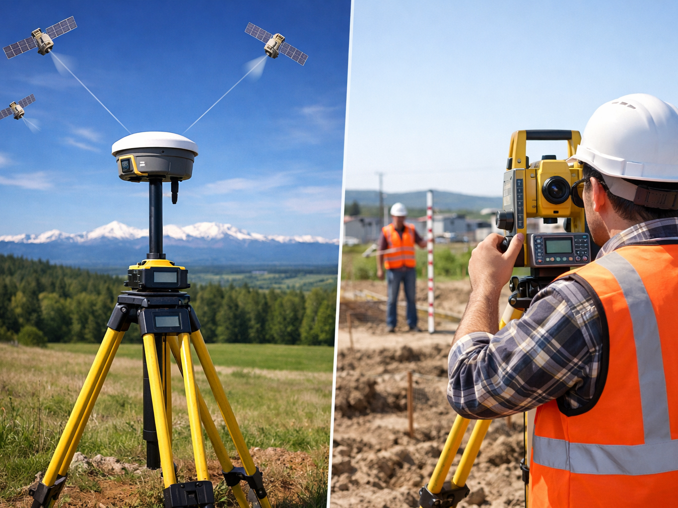
A Static Survey is a very accurate way to use GNSS to find survey control points. There are GNSS sensors that are placed in certain places and watch the sky for a certain amount of time. Once data is collected, it is used to find exact locations.
It does a lot for projects where you need precise control points and a clear view of where things stand.
Our UAE Static GNSS Survey Services can assist you in:
This kind of survey creates a network of survey points that are all connected together to form a robust control network over the land. The tools are used to measure angles and the distance between points to locate and confirm exact coordinates.
It is useful for many things, like setting out building sites, roads, infrastructure, property lines, and other things that need to be placed and lined up exactly.
Our Accurate Traverse Survey Services UAE can help project teams with building and detailed surveying work.
It’s important to have the right pole data and control points for building projects. It can be used by surveyors and site teams to make plans for buildings, roads, utilities, borders, and other parts of the project. It helps you find your way around.
Using both steady GNSS readings and traverse surveying at the same time can be very helpful for projects that need to be precise.
A land development project can’t start until the land is moved to the right spot and plans are made. We make it easy to set up exact control points for land development, site planning, engineering design, and building layout with our GNSS Static Survey.
The survey results can help different parts of a project improve.
We offer both static and traverse surveying services in the UAE for a number of reasons.
It is important to plan and carry out control and proof checks.
When making choices about a project that depends on correct ground data, it’s important to pick the right survey team.
Our main goal at Surveying Services UAE is to give you correct survey data that you can use at any point in the project’s lifecycle.
Today’s GNSS and surveying tools help us get accurate readings in the field and set up reliable control.
Engineers, builders, land developers, and surveyors work for our company and know what projects need.
We set up and check control points so that they can be used in the future to help with building and measuring.
When it comes to place, accuracy, and outputs, each job is different; what the job requires shapes how we plan to study.
Builders, engineers, project teams, and advisors use the poll data to help them plan and do their work.
With our Static GNSS Survey Services in the UAE, you can get help with projects that need accurate tracking.
You’ll learn how to do it best for the project.
Based on your site and project goals, our team can help you figure out the best way to do things.
The tools we use depend on the size of the job, the condition of the ground, and the level of accuracy we need.
For school, we could do the following:
You can handle GNSS data, find coordinates, make survey drawings, learn about the ground, make plans, and do other project jobs with these tools.
Which tool you use will depend on the task you’re facing and the information you need to send.
The static and traverse survey methods can be used in many places and kinds of projects, such as
We help with standing and traverse surveying. We can help with projects in a lot of different areas, such as
We make the process easy to understand.
Let us know about the project, the spot, the survey area, the accuracy you need, and what you want us to do.
Our group chooses the best tools, the best way to do the survey, and the best places to put the control points.
That’s why GNSS devices, Total Stations, and other useful tools help our surveyors get the things they need.
After the readings are put into professional software, locations are found, and survey information is prepared.
The poll results are checked to make sure they are correct and sound.
It is given to the client, expert, engineer, or contractor after the study data has been put together based on the project’s needs.
By working with an experienced professional traverse surveying company in Dubai, you can make sure you don’t make any mistakes with your placement. This will also prepare you for future measuring and building projects that need accurate survey control.
The people on our team use GNSS technology, old-fashioned surveying methods, and years of experience in the field to do useful mapping work for projects all over the UAE.
For both static and traverse scans, you can get good service in the UAE.
No matter what kind of measuring you need for your project, a Static GNSS Survey, a Land Traverse Survey, a Building Control Survey, or a Full Static and Traverse Survey, we can help.
We can help you with your project by providing you with a professional pole answer that matches your site and project.
You have to be tight with your pole for your project. Call our Falcon 3D today.
Get a Free Quote