
We help you see what your building or idea will look like before you start. We employ clever technology and drones to produce 3D representations of genuine areas that are easy to grasp when we undertake 3D mapping in Dubai. This means that people have less stress and spend less time making decisions.
Imagine having a digital map of a city that shows every road, building, and service. You wouldn't have to pull over for traffic or do surveys for periods on end. Phone apps that map the world do that. This is a cool new way to get information while you're on the go. We at Falcon 3D can do fast, accurate, and safe mobile mapping in the UAE. We use computers to accurately represent real places, like busy Dubai streets or huge building sites. This helps engineers, planners, and people who choose actions do their jobs best.
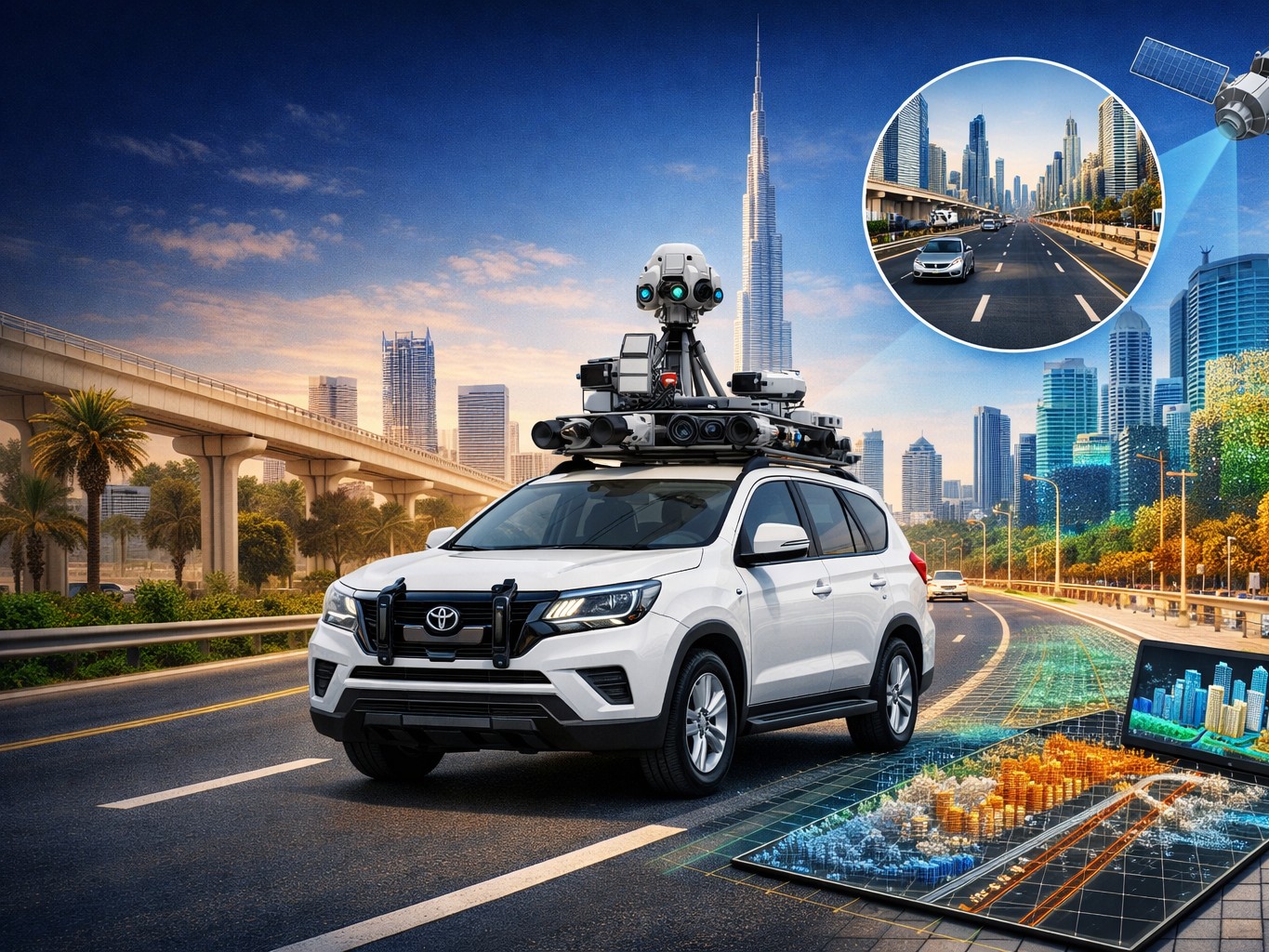
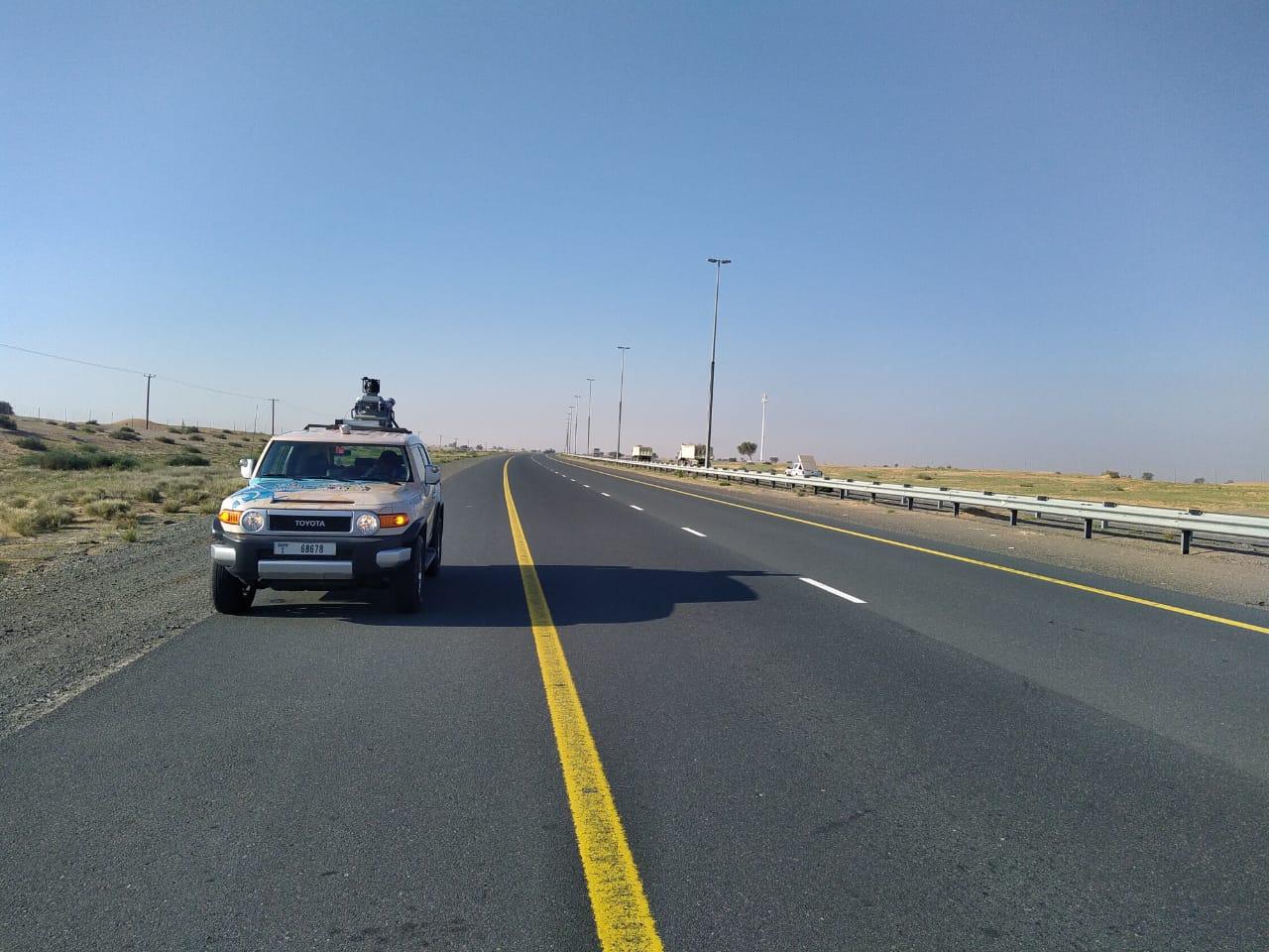
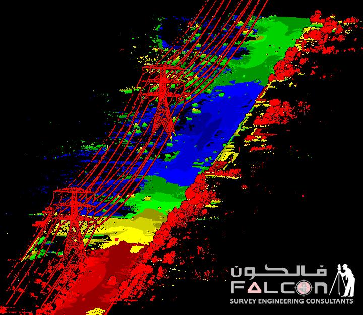
The term "surveying on wheels" can be used to describe mobile maps. Some cars or drones are loaded with cameras, LiDAR sensors, and GPS technology that help us learn more about the world around us. A lot of information is gathered by the car every second as it goes. After that, 3D models, maps, and pictures are made from these data points. The new method is faster, better, and gives more details than the old ones. We don't send people out with measuring tools and cameras; instead, we quickly and easily record everything that happens online.
Fast growth is happening in places like Dubai. Buildings, roads, and bridges are always changing, which makes it hard to keep correct records. We can help with that with mobile mapping tools in Dubai.What our tools can do:
Mapping drones also help us get to places that are hard to get to by car, like open development zones, rooftops, and roads that are above ground. Now it doesn't matter how hard the site is; we can still get the info you need.
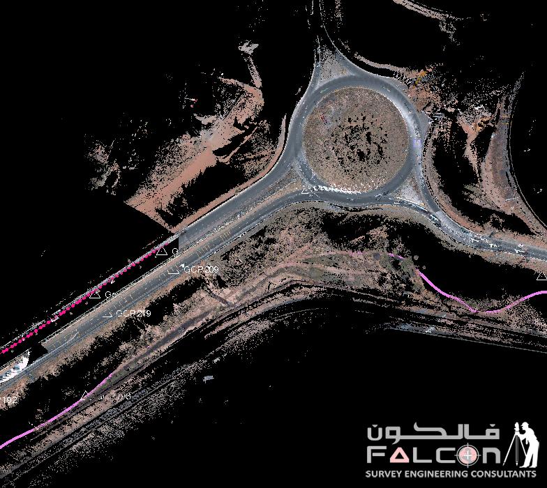
The power to make 3D digital models of real-world environments is one of the coolest things about mobile mapping. You can virtually visit sites, get exact distance measurements, and even plan building projects with these models before you even set foot on the ground.
Look closely at the streets, houses, and utilities.
Having a full digital copy of the real world at your fingertips is like that.
Falcon 3D is considered to be one of the best mobile map survey companies in Dubai because it works with both new and old tech. After planning your study and doing all the work, we send you the finalized digital maps, 3D models, and GIS files.
There are high standards for quality, accuracy, and reliability that our team makes sure every project meets. This way, you can be sure of the choices you make.
Our services go beyond just giving you data. You learn useful things that help you do your job better. Our products for mobile mapping are:
This can all be used right away for planning, creating, building, and managing long-term assets.
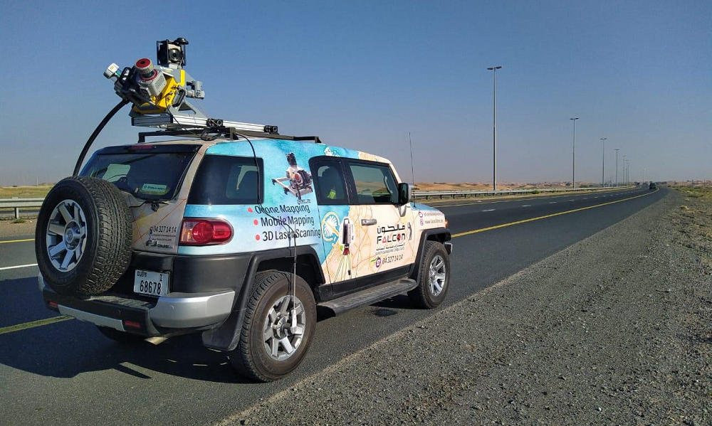
A smart vehicle scans the roads and its surroundings to make quick and accurate maps.
Drone mapping that quickly and properly takes pictures of land and buildings.

The mobile device can quickly scan inside for accurate tracking of rooms and small areas.
Smart mapping that includes truck, drone, and indoor scans to get a full picture.
Get clear, accurate maps and smart planning by capturing real-world spaces in 3D.
With smart mobile mapping, you can easily get land shapes and topographical data.
Mobile maps are changing surveying. You can confidently look into, plan, and oversee projects with Falcon 3D's mobile mapping services in the UAE, without having to worry about delays or safety issues. We can help you see things in a new way. Feel free to get in touch with us right away to find out how our 3D mobile mapping systems can help you with your next job.
Request for Drone Services