When you're planning a marine or offshore project, what's under the seabed matters just as much as what's above it. Hidden objects, weak soil layers, or unexpected ground conditions can cause serious delays and extra costs if they're not identified early.
That's why marine geophysical surveys are so important. They help you understand the seabed clearly—before any construction, dredging, or installation work begins. As one of the reliable marine geophysical survey companies in the UAE, we help project owners, consultants, and contractors move forward with confidence.
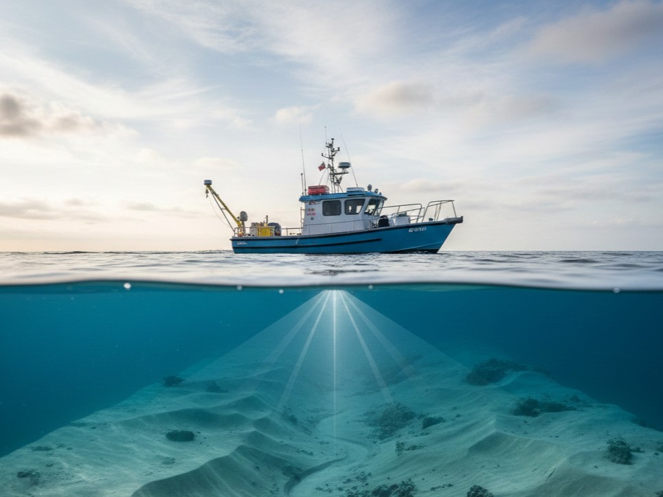
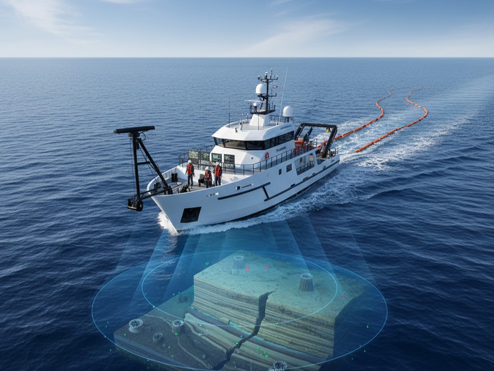
A marine geophysical survey is like getting an X-ray of the seabed. Without digging or disturbing the sea, we use specialized equipment to “see” below the surface and understand what's there. These surveys help answer important questions such as:
By getting these answers early, you avoid costly surprises during the project.
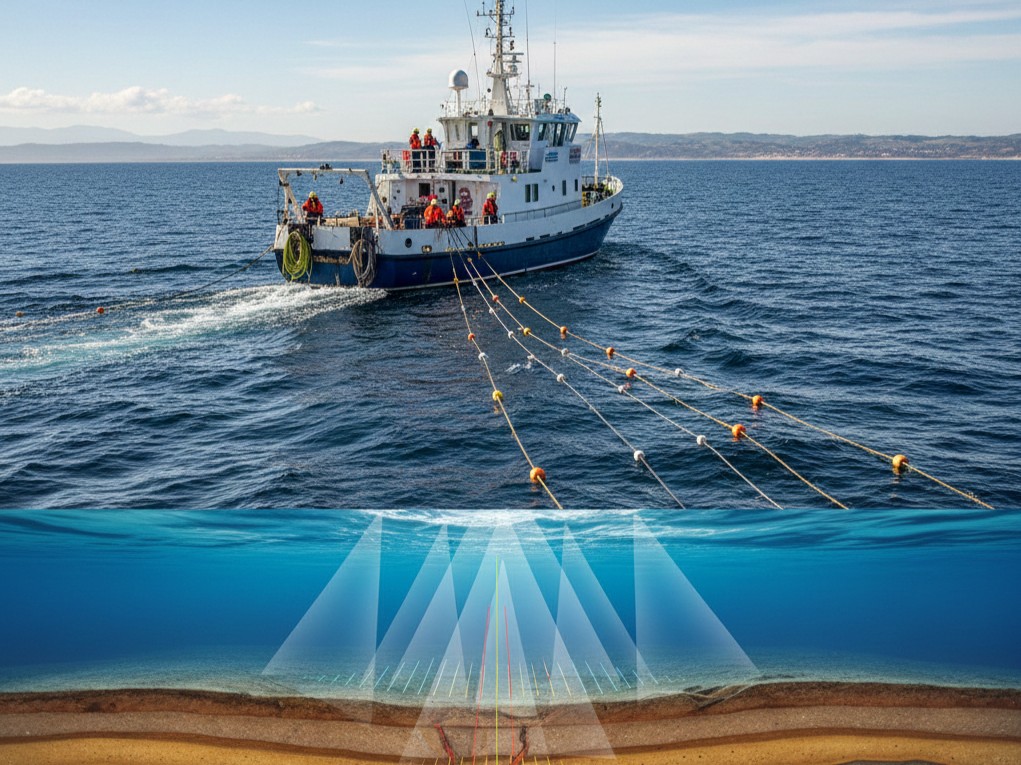
A marine magnetometer survey is used to detect metal objects hidden beneath the seabed. These could be:
This survey is especially important before dredging or offshore construction. It helps keep people, equipment, and the project safe.
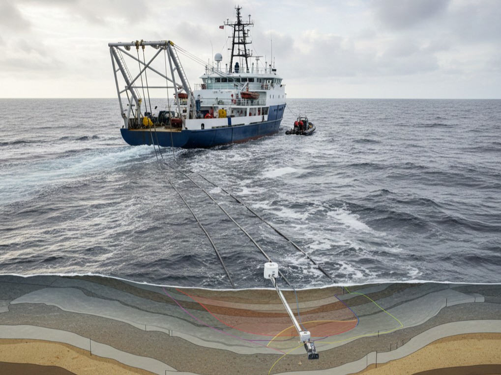
A marine resistivity survey helps us understand what the ground below the seabed is made of. It shows changes in soil and rock layers and helps identify weak zones or hard layers. This information is very useful for:
In short, it helps engineers design safer and stronger marine structures.
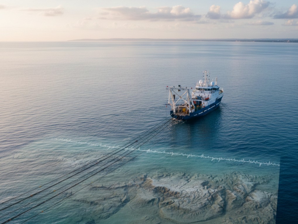
Every site is different. That's why we often combine multiple methods into a single marine geophysical survey. This gives a clear, complete picture of seabed and sub-seabed conditions, making planning easier and more reliable.
Many seabed problems are invisible until work begins—and by then, it's often too late. A proper survey helps you:
Simply put, a marine geophysical survey helps your project start right.
We carry out marine geophysical surveys in the UAE, working in coastal and offshore waters across the region. Our team understands local seabed conditions, marine regulations, and project challenges unique to the UAE. We support projects in:
Along with geophysical services, we also work as an experienced oceanographic survey company in the UAE. We study marine conditions that affect offshore projects, helping clients understand how the sea environment may impact construction and long-term performance.
Contact UsWe focus on practical results—not just technical numbers.
Our marine geophysical surveys support many types of projects, including:
Whether your project is small or large, nearshore or offshore, our marine geophysical survey services help you understand what lies beneath the seabed—before work begins. From marine magnetometer surveys to marine resistivity surveys, we provide clear insights that help your project move forward safely and smoothly.
