

It is very important to get the asphalt level right when building a road. There can be big changes in the quality of the project, even if the changes are small. These changes can affect the road surface, drainage, slope, connections with other roads, and more.
Asphalt Level Monitoring Services Falcon 3D provides Asphalt Level Monitoring Services to contractors, experts, developers, and project teams to ensure roads and pavement levels are accurate.
We check the actual level of the asphalt surface against the levels that were planned for. This lets you find differences quickly and fix them before they become bigger problems with the build.
GNSS/RTK, total stations, digital levels, 3D laser scanners, and mobile mapping systems are some of the modern surveying tools our team uses. It depends on the job.
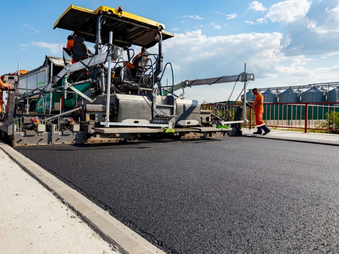
Checking the Asphalt Level means making sure that the asphalt was laid at the right height and slope.
When a road is being built, the surface has to match the accepted plan. In certain places, our surveyors take accurate measurements that are then used to check the real road levels.
We can help you look over:
It’s easy for your project team to see what’s going on in the real world.
Our Asphalt Level Survey Services can help you figure out how high a current or new asphalt surface really is.
We get survey points from the right places and match them up with the project drawings or the levels that are needed.
You can do this while the building is going on or after the asphalt work is done.
At different points in the building process, the road’s level needs to be checked.
As part of our Road Level Monitoring Services, we can:
Before the work moves on to the next step, level differences can be found through regular checks.
As part of our Pavement Level Monitoring service, we check to see if the pavement was built to the right levels and slopes.
This information can be used for quality control, construction checks, and keeping records of what was built.
With our Road Elevation Monitoring service, you can get exact information about where the road surface is higher than other places.
This is especially helpful for highways, access roads, long roads, and big infrastructure projects where it’s important to keep the levels steady.
A survey called an Asphalt Elevation Survey tells you the exact height of the asphalt surface.
Depending on the site and the level of accuracy required, we can get the data from GNSS/RTK, total stations, digital levels, 3D laser scanning, or mobile mapping.
Because of the way the ground is, embankments, filled areas, or building work, roads can sometimes settle.
Road Settlement Monitoring allows us to measure the ground at different times and compare the results.
This helps project teams figure out if the road level is shifting and, if so, where it might be shifting.
The size of the project, the conditions of the site, and the level of accuracy needed help us choose the right tools.
GNSS/RTK systems give us more accurate information about where we are and how high things are over large areas.
These are useful for:
Our surveyors can correctly measure angles, distances, and positions with the help of total stations.
They’re useful for getting accurate readings, or for when the area doesn’t have strong enough satellite signals.
These days, digital and automatic levels are used to check the exact difference in height between two points.
They’re good for detailed level checks and construction monitoring.
3D laser scanning can take thousands of measurements from the road surface for projects that need detailed information about the surface.
The result is a detailed 3D point cloud that can be used to learn about the surface, height, profile, and surrounding conditions of the road.
Mobile mapping is good for quickly gathering large amounts of location and surface information for long stretches of road and large infrastructure sites.
This can be helpful for long corridor projects that need a lot of data.”
The survey tools gather the data, but the data also needs to be processed correctly.
Parts of our workflow can be:
We take the survey data and turn it into drawings, models, measurements, and other deliverables that your project team and engineers can use.
We first review your project plans, drawings, survey requirements, required road levels, and areas to watch.
We use the appropriate survey control points to ensure the measurements are accurate and consistent.
We use the right surveying tools to get measurements from the needed asphalt or pavement areas.
CAD, GIS, survey, and 3D workflows are used to check and process the data that has been gathered.
You will likely find differences between site measurements and design levels.
We can give you plans, level information, profiles, surface models, survey points, comparison data, and as-built information, depending on what you need.
This service for checking the level of asphalt can be used for many tasks.
The highways and roads
At Falcon 3D, we combine experienced survey teams with modern surveying and mapping technology.
Our capabilities include:
We focus on providing accurate, practical, and easy-to-use survey information that helps engineers, contractors, consultants, and project managers make informed decisions.
Need to check the level of a newly constructed road, pavement, highway, or asphalt surface?
Asphalt Level Monitoring Asphalt Level Survey Services Road Level Monitoring Services Pavement Level Monitoring Road Elevation Monitoring Asphalt Elevation Surveys Road Settlement Monitoring Falcon 3D offers these services for projects across the UAE.
Whether you are working on a small road section or a large highway and infrastructure project, our team can provide you with accurate information about your road levels and surface conditions.
Contact Falcon 3D today to discuss your Asphalt Level Monitoring requirements in Dubai & UAE.
Get a Free Quote