

Being right is the first thing that needs to be done for a job to go well. No matter if you’re building a house, setting up heavy machinery, or running a big industrial complex, you need to get the reading right to stay on track.
When you hire Falcon 3D’s Dimensional Control Survey Services, they can help you put every building, part, and piece of equipment in the right place. To give you accurate measurements, our skilled survey engineers use the most up-to-date tools. Make sure you don’t make mistakes that cost a lot of money. This will also help you finish your job with confidence.
We enjoy working on projects in Dubai and the UAE that involve building, infrastructure, shipping, oil and gas, and industry.
We are a Dimensional Control Survey Company in the UAE that people know and trust.
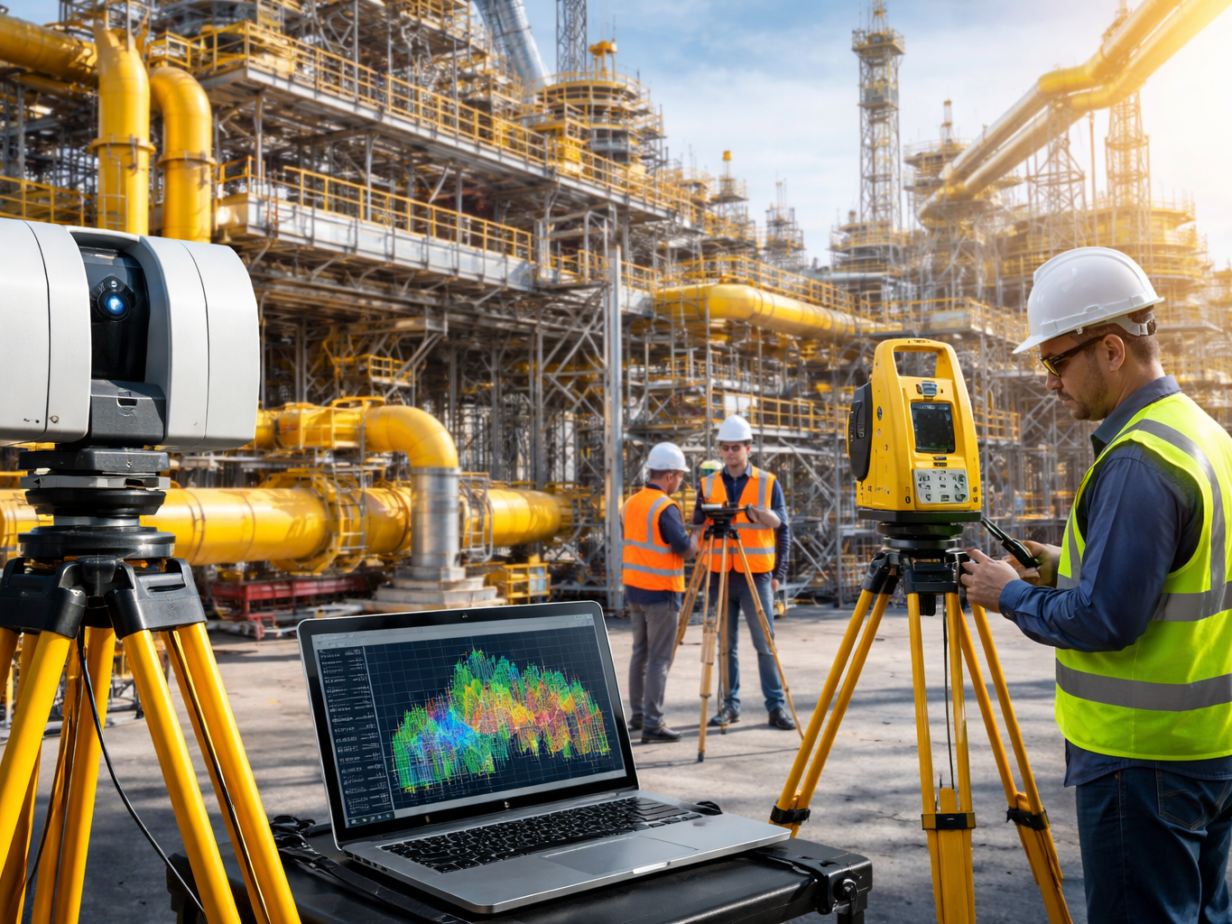
A Dimensional Control Survey is a very accurate survey that checks to see if structures, tools, and building parts have been put in place according to the approved engineering drawings.
Before moving on to the next step, our team makes sure that all the important parts are in the right place, lined up, level, and the right size. In the end, this saves you money because you don’t have to pay for extra work and keep the project moving forward without delay.
Because we offer an Engineering Dimensional Control Survey, you can be sure that your project is being built the way you had planned.
Even something very small can wreck the whole job. If you don’t line up your steel structures and install your tools correctly, it can cost a lot to fix and take longer than you planned.
Check the spacing and settings.
Good data helps people make decisions and not be surprised.
Falcon 3D offers a full range of Dimensional Survey Services in the planning phase, which is the very first step in any project.
What we do:
Our company has been a Survey Engineering Company in the UAE for many years. We have the latest tools and experienced staff to ensure that all our projects are accurately measured.
Here’s what we have for equipment:
Number of robot stations
We are now able to provide you with the best advanced dimensional modeling.
We make it simple for you. Our team does all the technical work from start to finish.
We need to know about your spot, the area that needs to be surveyed, and how you plan to use the model before we do anything else.
Our drone team takes high-resolution shots from many places to get a full picture of the area that needs to be seen.
Other types of surveying that we can use for jobs that need them are RTK/GNSS, LiDAR, and laser scanning.
The pictures and survey data are worked using professional tools for photogrammetry and 3D processing.
The information that has been processed is used to make a full 3D mesh. There are places on the model where realistic photo effects are added.
Finally, we validate the model to ensure the data is correct, well aligned, covered, and of good quality.
And this is churned out. You will need a finished model and whatever else your project requires.
Tools for different projects. We choose the best blend for your site and your goals.
Our drones can quickly capture many detailed images of large areas from above. This means they can be used in large areas of land, on construction sites, and in factories.
For projects needing accurate tracking, RTK/PPK and GNSS technology can be used for data collection.
We can make 3D data from a bunch of pictures using photogrammetry. We use it a lot when we do Drone 3D Mesh Modelling.
When a project needs a lot of 3D data, LiDAR or laser scanning can also be used.
If you have point cloud data, you can use our Point Cloud to 3D Mesh Conversion service.
Depending on the work, our workflow may involve the following: Photogrammetry and 3D models are created using Agi soft Meta shape.
The type of data you have, how reliable you need it to be, and the result you want all affect the software you choose.
Before construction starts, you will be able to know the place itself, the neighboring buildings, the terrain, and other important things.
Take pictures of the spot at different times from time to time. See the pictures for what has changed and how the work is progressing.
Create a digital replica of a bridge, building, facility, road, or other object in its present condition.
A 3D model will allow your team to explore places that are not easy to reach or can be dangerous to visit.
Through our 3D Surface Modelling services, you can find out about ground conditions, heights, slopes, and other surface aspects.
You can use 3D mesh data for reality capture in BIM, digital twins, or asset management.
A good model can help sell clients, engineers, consultants, contractors, and other heavy hitters on the feasibility of difficult site conditions.
Our 3D Mesh Models for Infrastructure Projects are suitable for all types of projects.
Building and assembling houses in an effort to stay on top of the site, plan, get a feel for how things are going, and see what things are like right now.
To make a list of road corridors, buildings, project areas, and the land around them.
We need to keep track of rails, bridges, flyovers, and other transportation assets.
For creating detailed digital records of factories, plants, warehouses, and other complicated facilities.
Asset records, asset documentation, site mapping support, and inspections.
To create maps of the land, maintain records, conduct site surveys, and monitor changes.
To construct solar farms, power plants, utility corridors, and other types of energy infrastructure.
As well as for ports, waterfront projects, and coastal infrastructure.
Plan, make maps, and keep digital records for big building sites.
What you give them in the end will depend on what their job needs.
Here are some of them:
We can talk with you about the format and amount of detail you need before we start so that the final data works with your workflow.
We’ll make sure you get the survey data you need to finish your project on time, no matter how big or hard it is.
If you want to build something, you need the right building team.
We want you to achieve the results you can rely on. Falcon 3D is accurate and reliable.
What you get when you work with us: Veteran surveyors; tools for accurate surveys at the cutting edge; accurate, precise measurements; fast turnaround times; full poll analysis; solutions for every project; commitment to safety and value. Professional Services in Dubai and UAE: “We don’t just take measurements. We help you get the job done faster, safer, and more confidence.
Falcon 3D can help you get a Dimensional Control Survey in Dubai for a job in the UAE or to help your company grow.
Dimensional Survey Services, Dimensional Control Survey Services. Accurate data for each phase of your project.
Looking for a Dimensional Control Survey Company in the UAE? Contact Falcon 3D today.
Get a Free Quote