Explore our portfolio to see how we combine technology, innovation, and creativity to deliver impactful drone mapping, inspection, and surveying solutions across diverse industries.
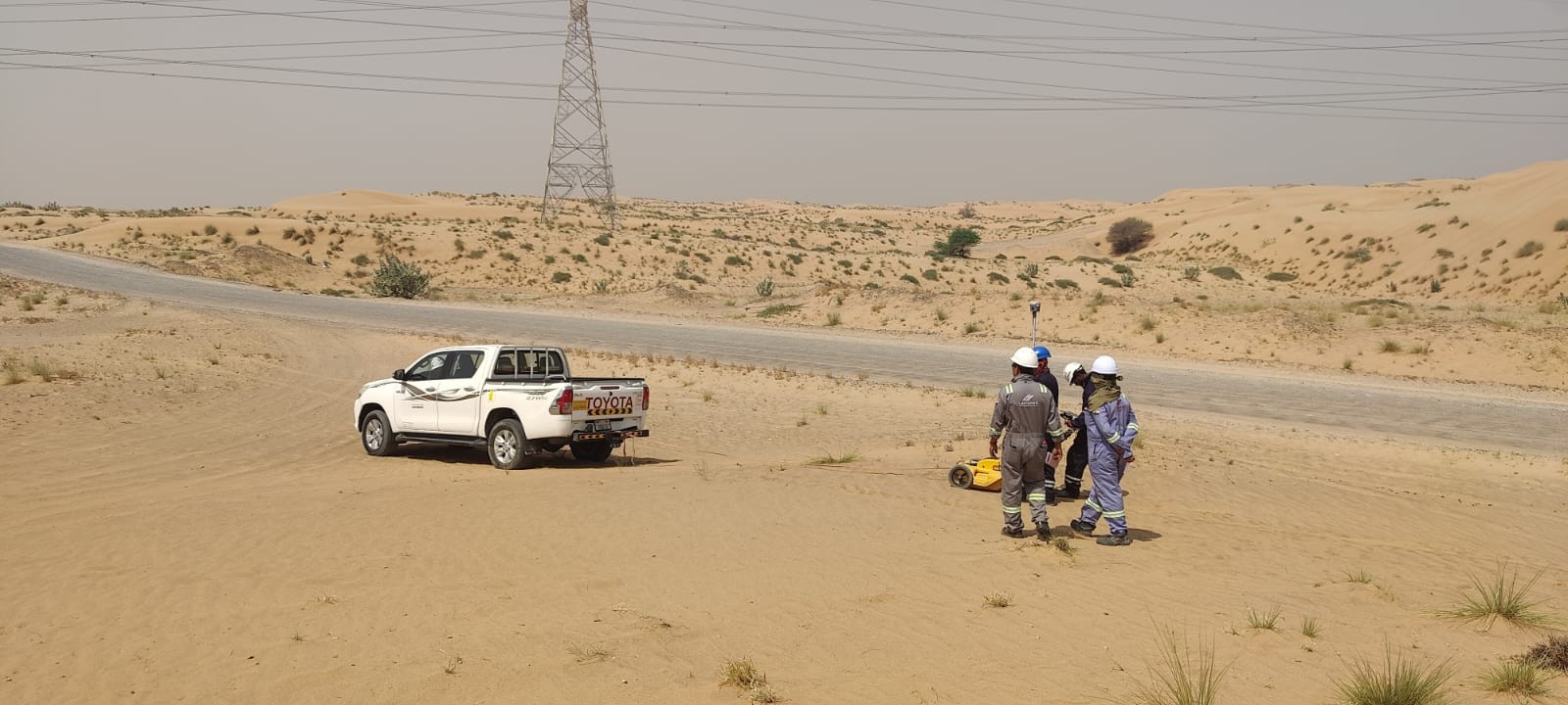
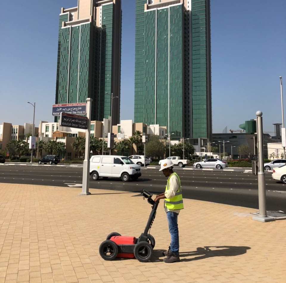
Under ground utility mapping in UAE
Survey Project in UAE
Project in Dubai
Project in UAE
Project in UAE
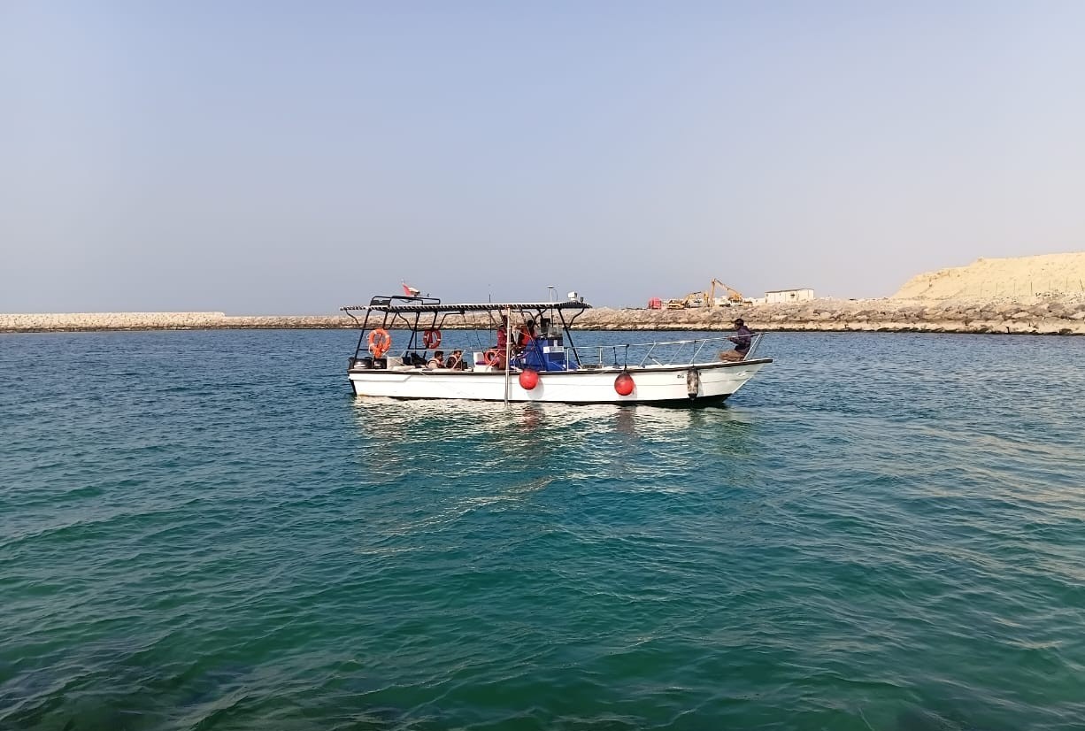
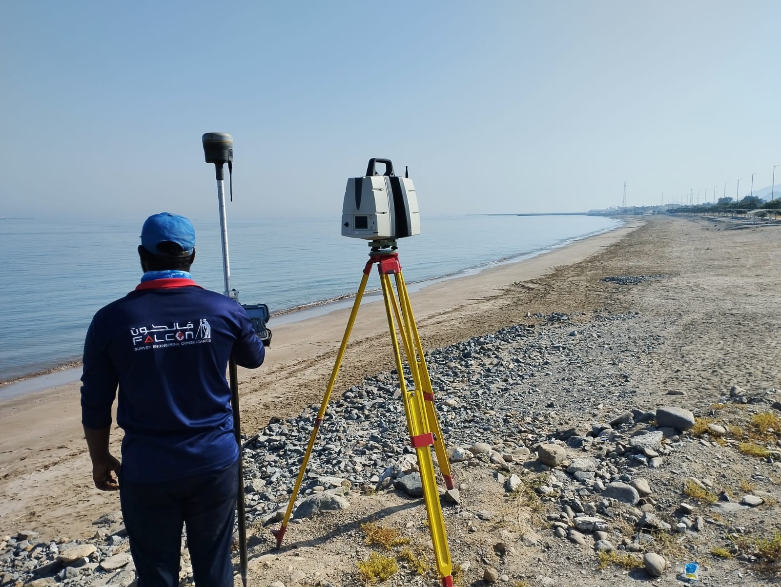
Marine Geophysical Survey
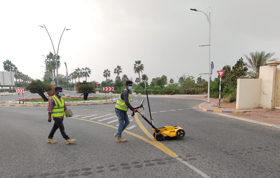
Under ground scanning of roads
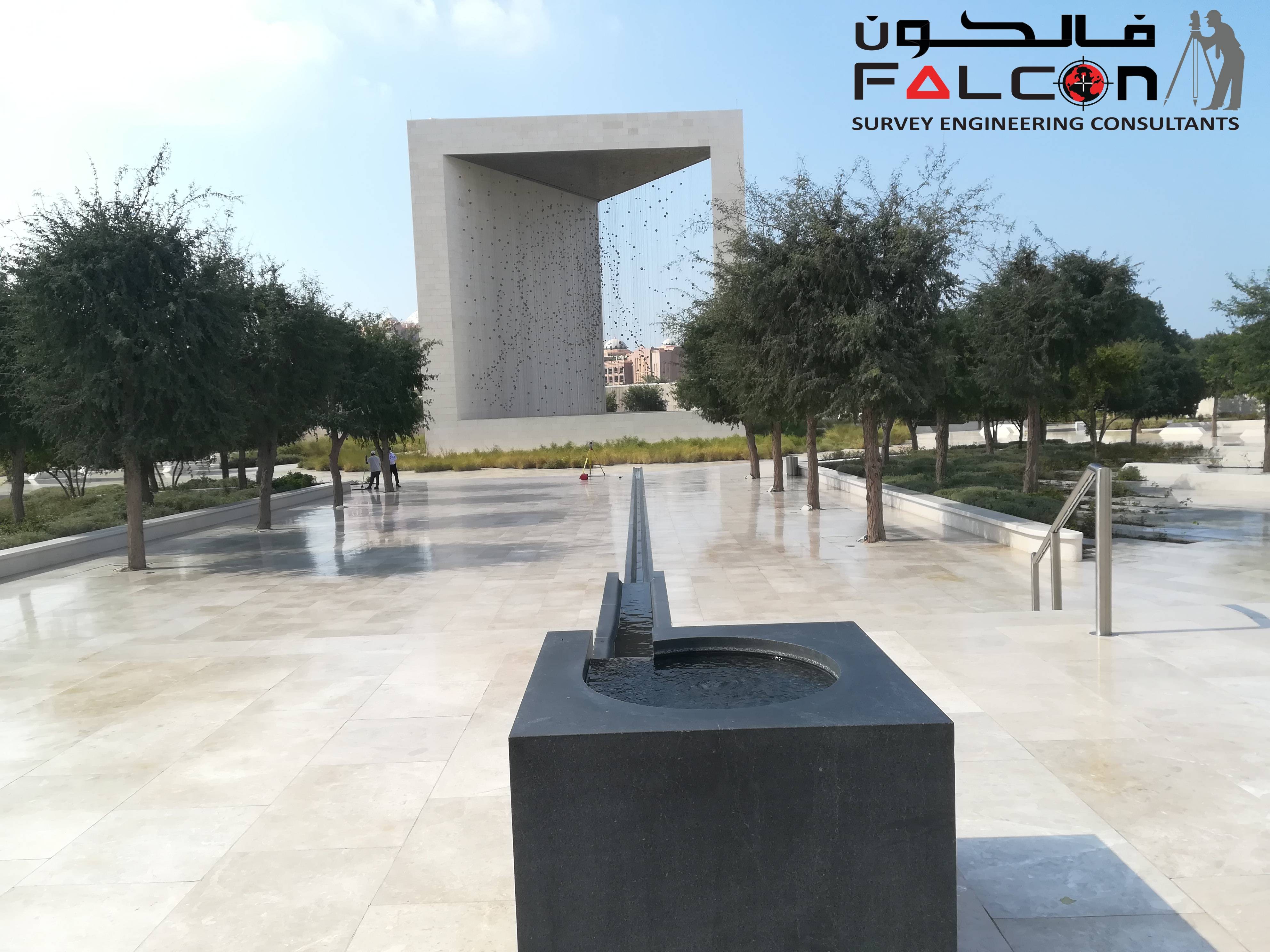
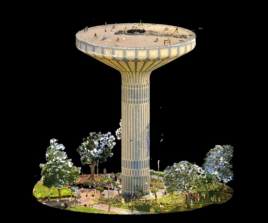
3D Laser Scanning
3D Laser Scanning
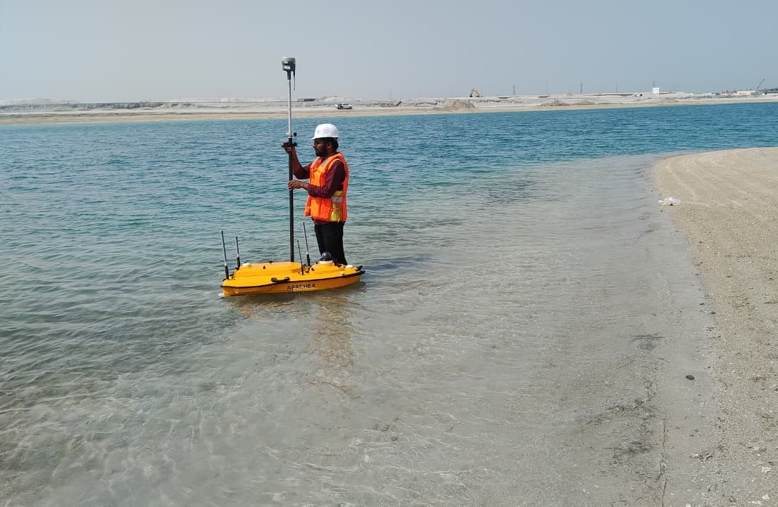
Hydrographic surveying using Unmanned Surface Vehicles
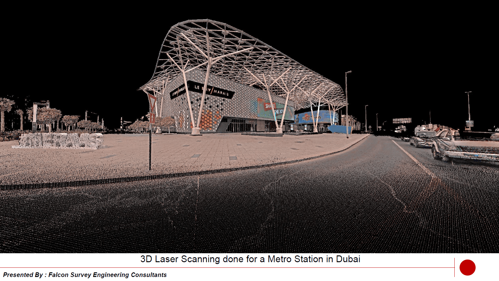
Metro Station at Dubai
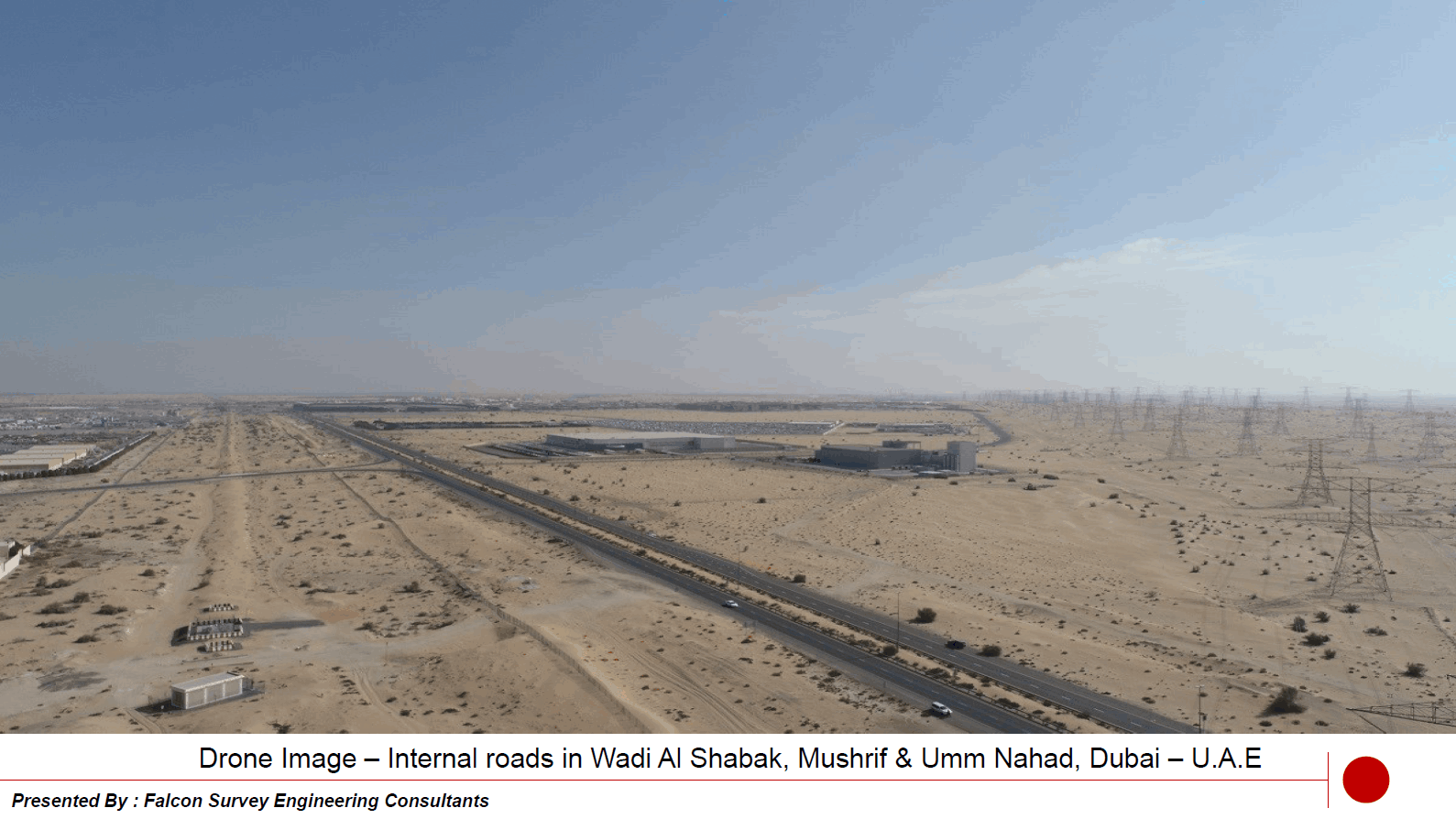
Wadi Al Shabak, Mushriff & Umm Nahad Dubai
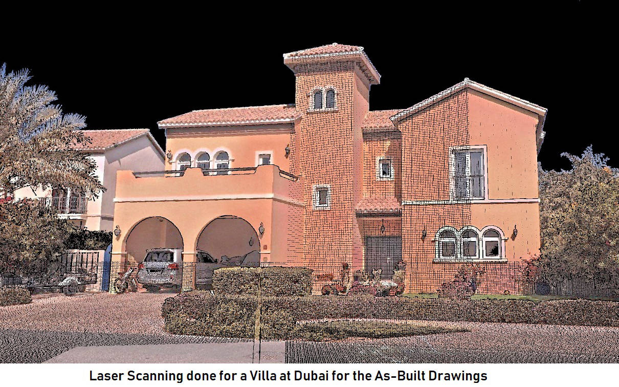
Model of a Villa for As Built Drawing
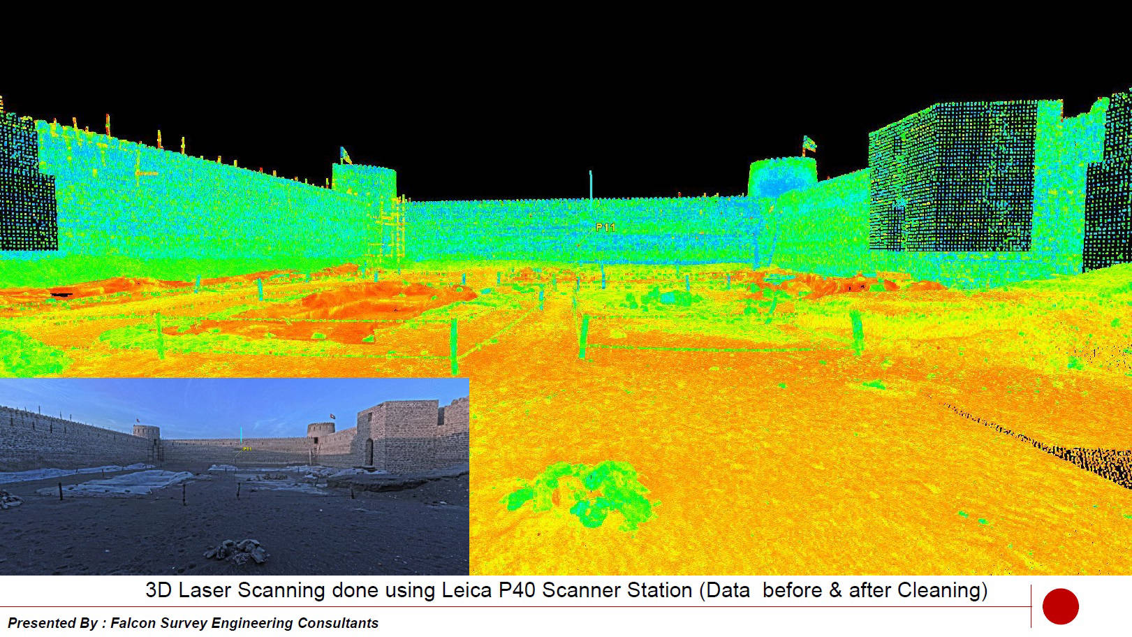
Before & After Cleaning
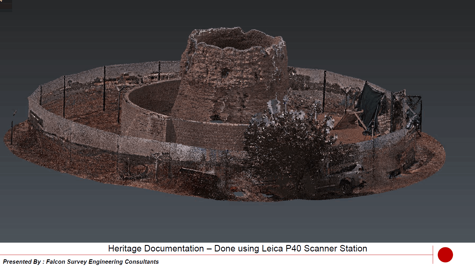
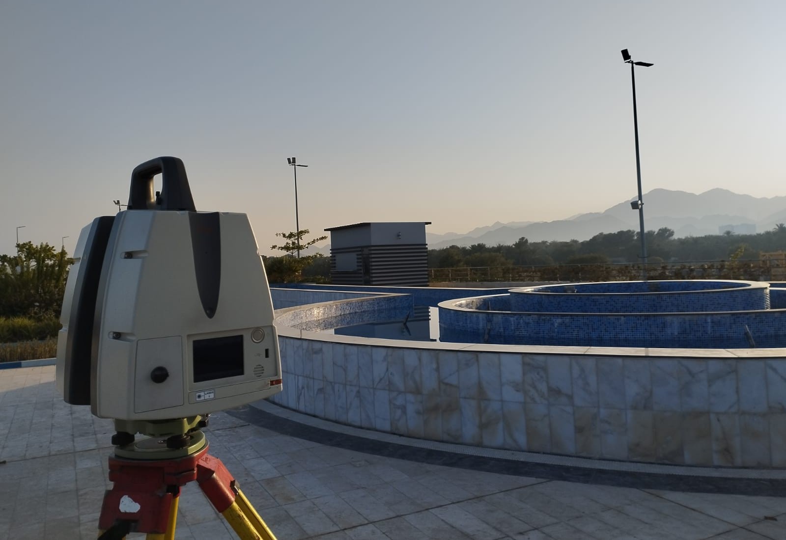
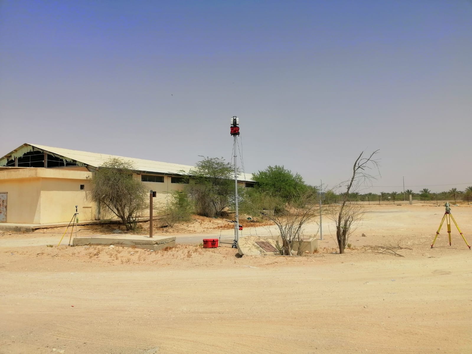
Leica 3D Scanner Station
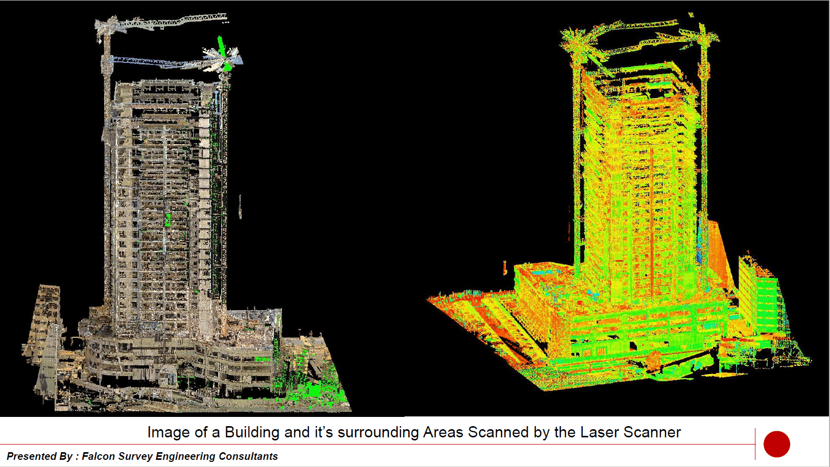
Building and its surrounding areas
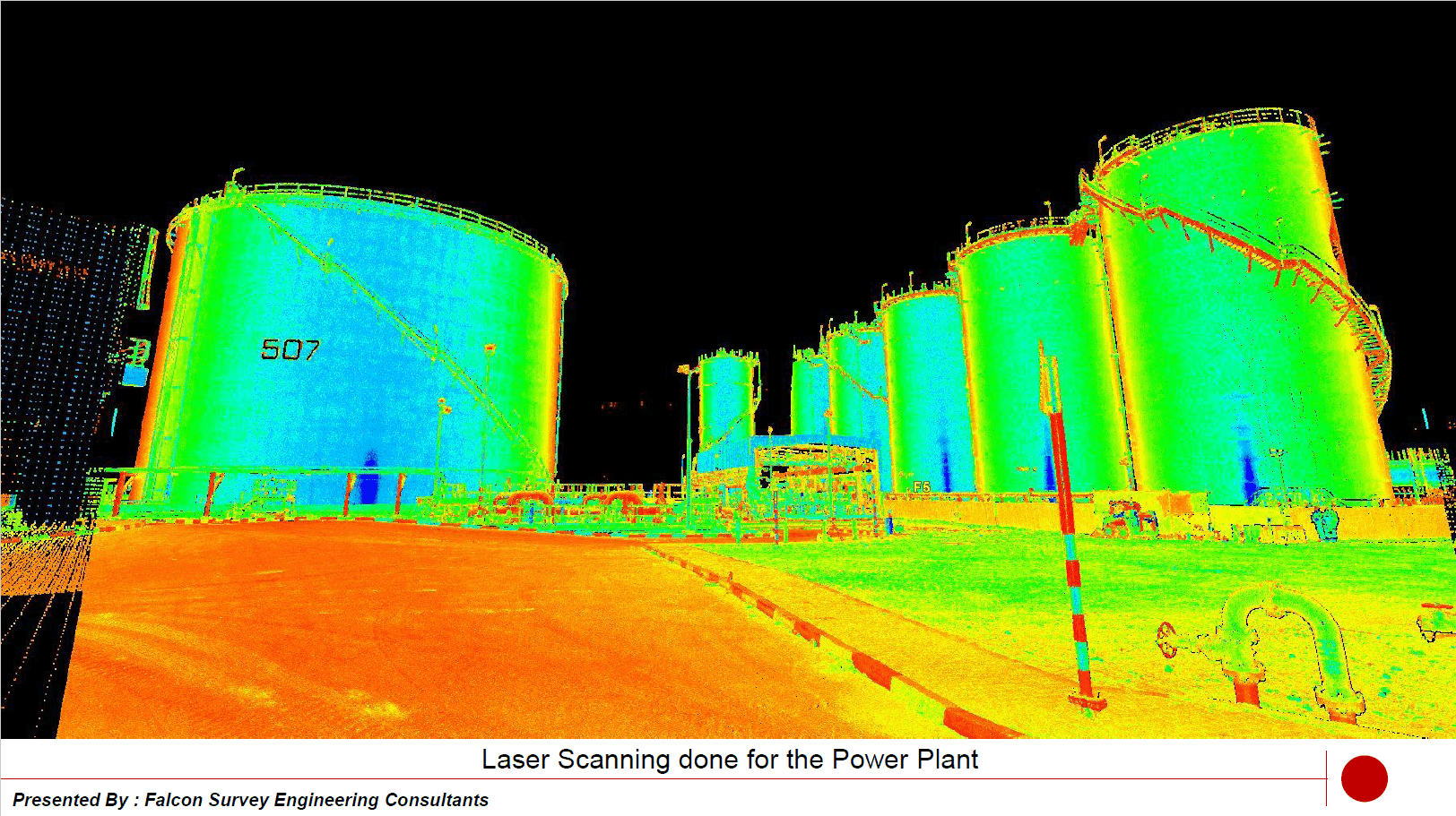
Laser Scanning done for a Power Plant
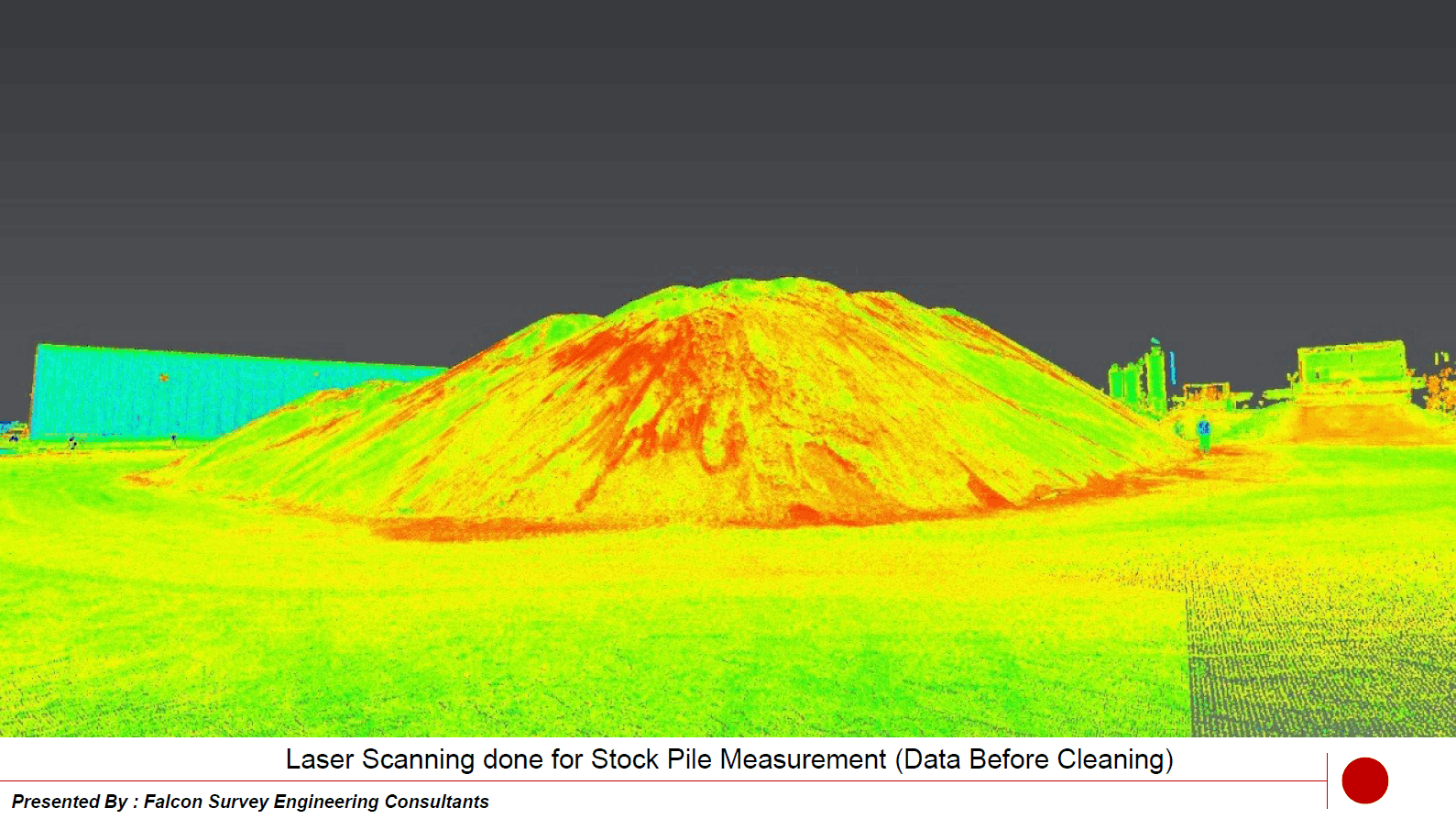
Laser Scanning done for Volume Calculation
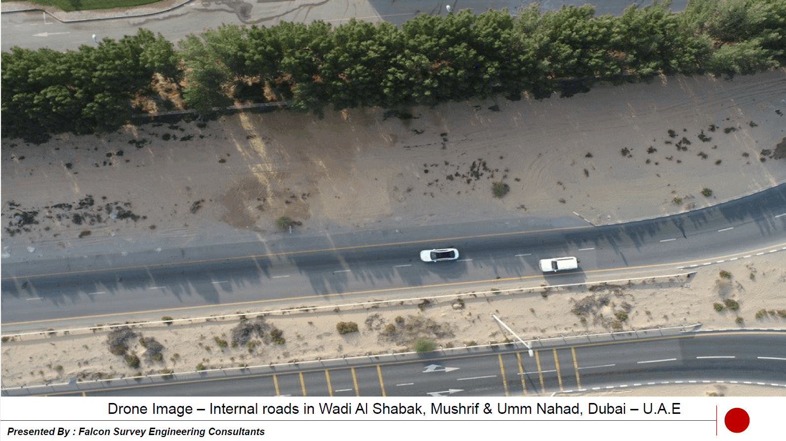
Internal road in Wadi Al Shabak
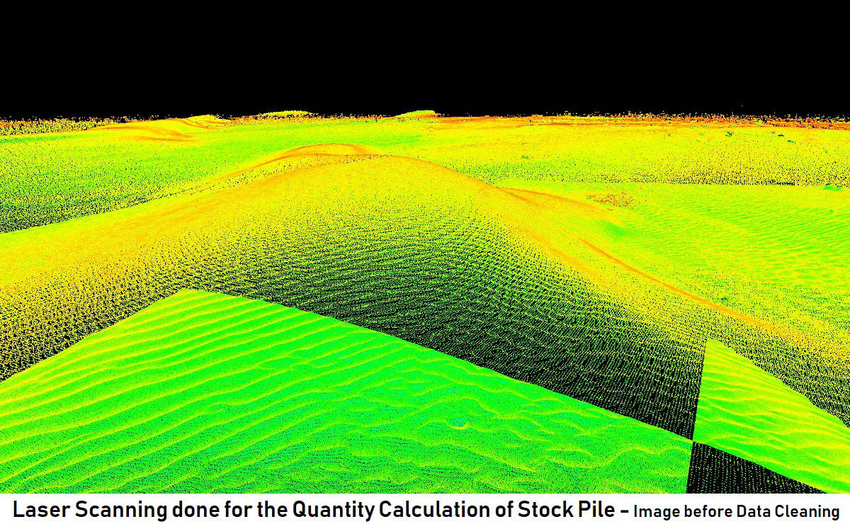
Laser Scanning done for Volume Calculation
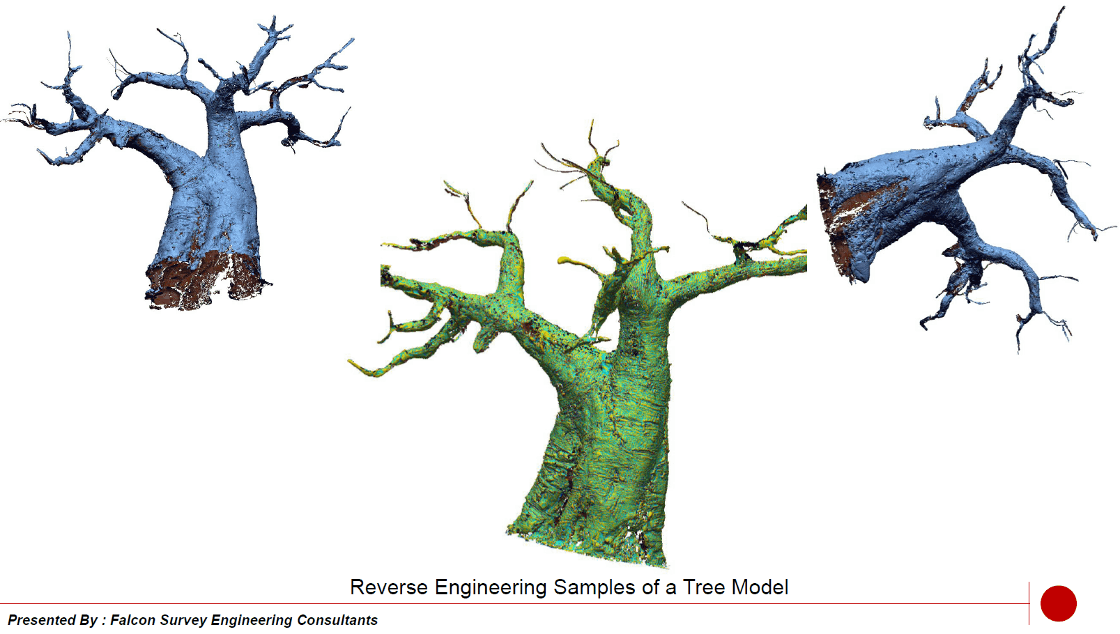
Reverse Engineering Model of Tree
