Since 2007, individuals across the UAE have been able depend on FALCON 3D's scanning services. We know a lot about a lot of things, such as topographical surveys in UAE, drone surveys in Dubai, 3D laser scans, submarine surveys, and land surveys. With competent surveying that matches international standards, we can handle all of your building, construction, and infrastructure projects. The government, consultants, and construction companies all trust us.
Years of Innovation and Excellence
Successful Projects Delivered
Clients Worldwide
Do you know why people choose Falcon Survey for their construction and surveying needs? Here's why:
Our customers like us because we know what they need and can help them.
Client satisfaction

We hire skilled experts from all over the world to help us finish assignments of any size or difficulty.
We think of new ideas and better methods to do things so that we may do every project smarter, faster, and better.
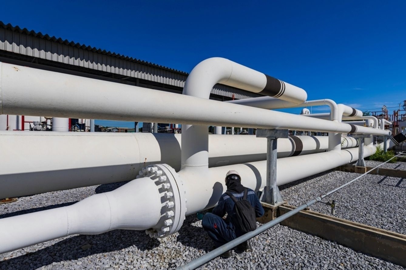
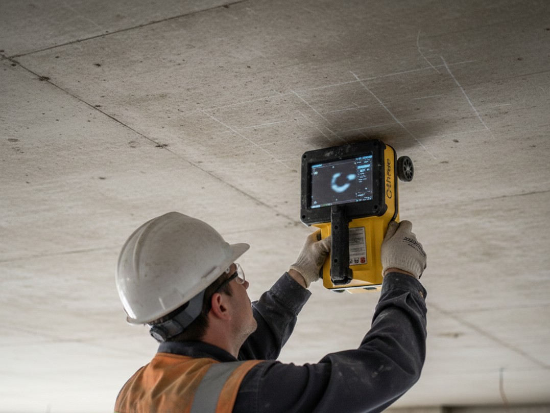
We are providing our surveying & mapping solutions to different industrial applications including Mining & Quarries, Engineering & Construction, Agriculture, Environmental Protection, Solar Energy,Archeological Inspections, Roof Inspections, and much more
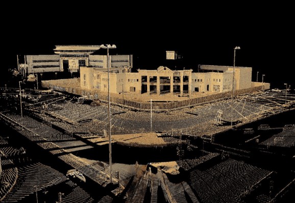
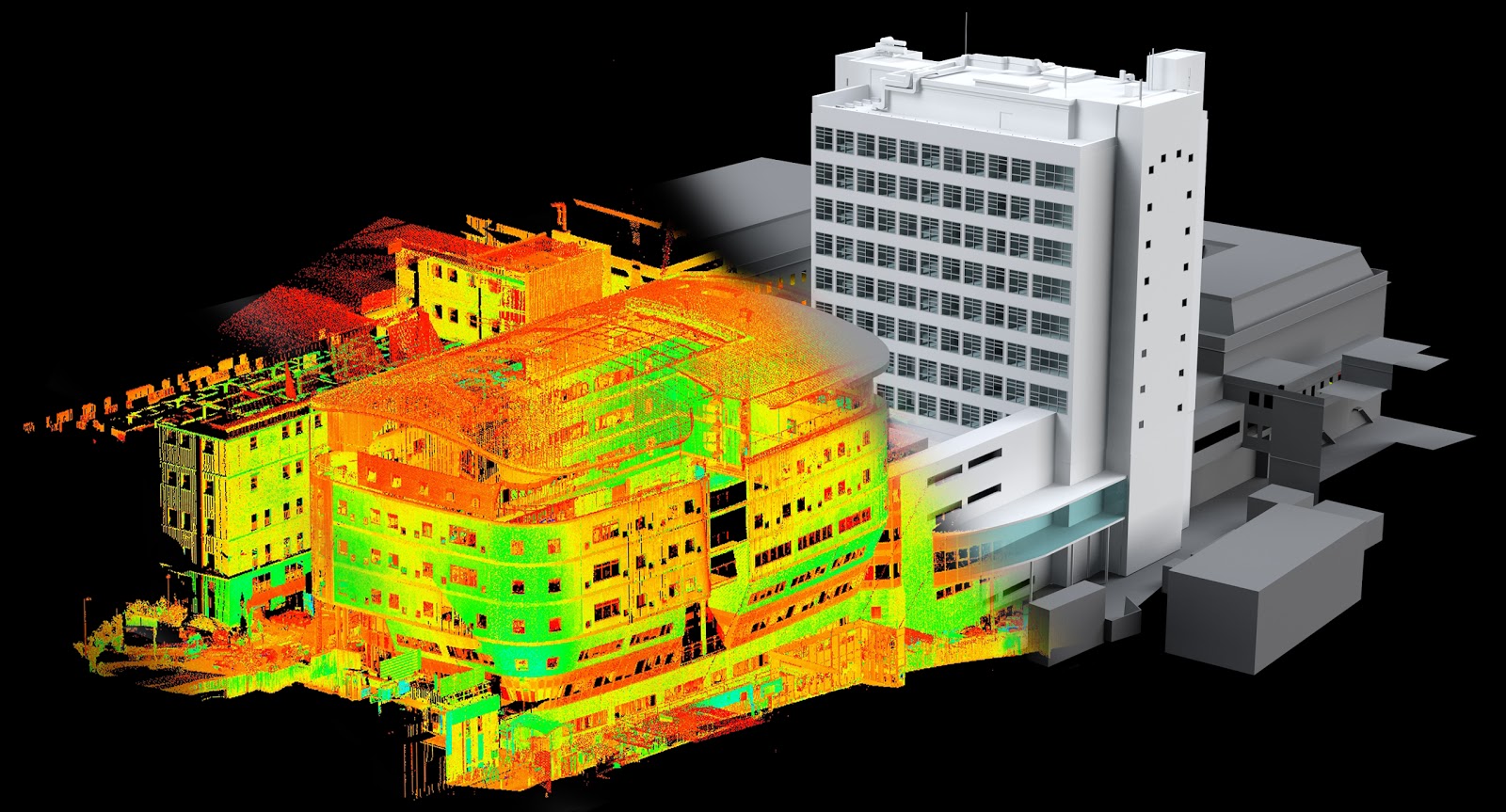
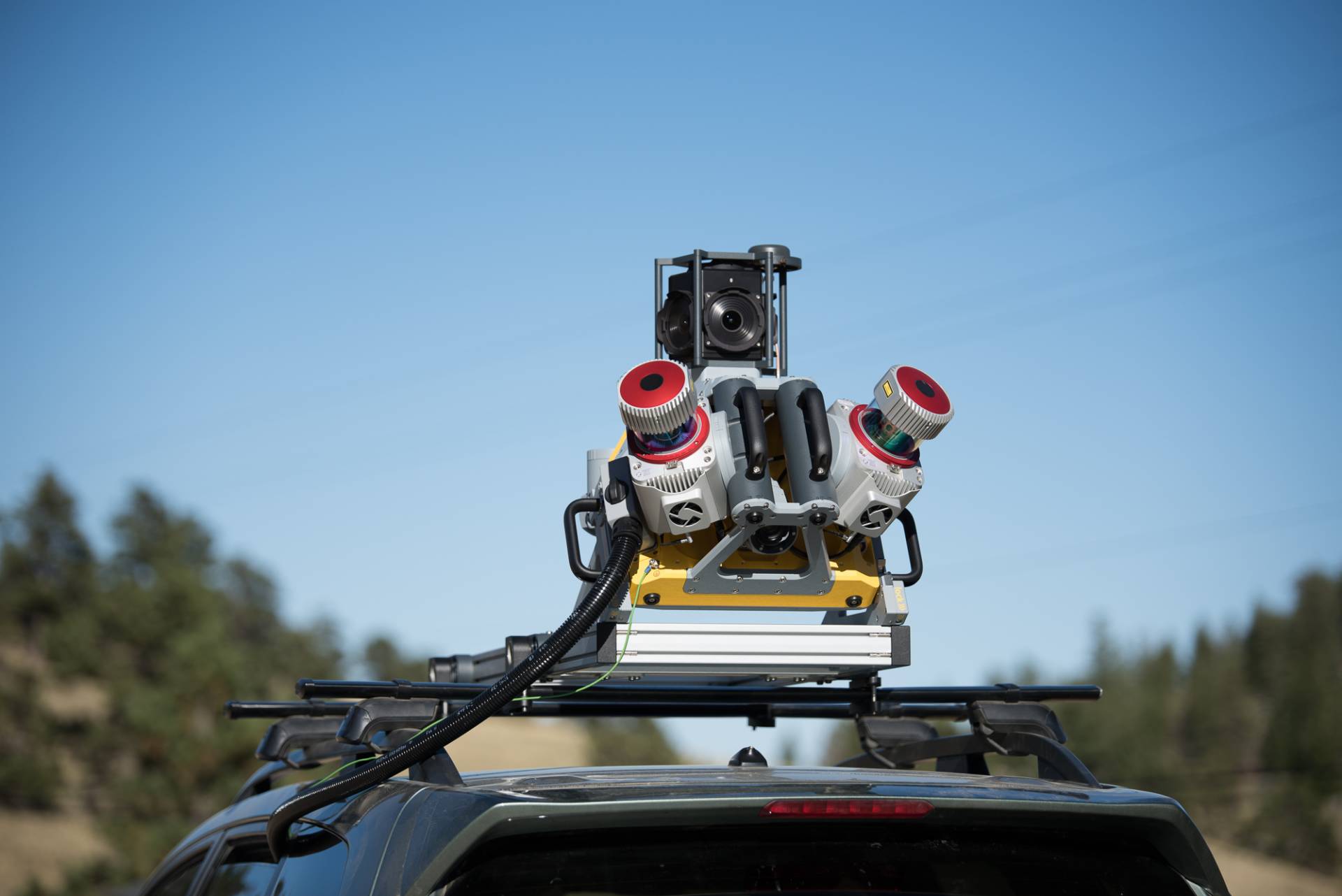
Falcon 3D uses the most up-to-date tools for mapping and measuring, such as drones, 3D laser scans, GIS, and mobile mapping . We do studies that are accurate, reliable, and easy to use to help buildings and government projects all throughout the UAE.

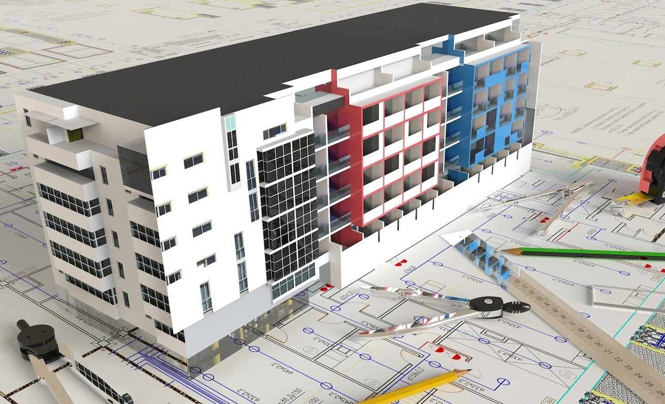
Falcon provides a wide range of mapping and surveying solutions from the start of your construction project to successful client handover. Each stage is carefully managed to ensure efficiency, precision, and quality delivery.
Falcon 3D can help you with your project from the beginning to the end by drawing and measuring everything.
We'll help you meet your project goals in the best way possible if you tell us what you need.
Once the agreement is signed, we make a clear plan, set a deadline, and make sure the right tools are used. .
Our professional team does good work in the field because they follow a thorough plan.
Create Work and Checks: We create the site and make sure it's done right by checking the quality.
Finally, you get to read the reports, and you can always ask for help to change something or make sure you understand it.
Falcon 3D works hard and comes up with new ideas to make sure that our measuring, mapping, and inspection services can be trusted for all kinds of projects in the UAE.
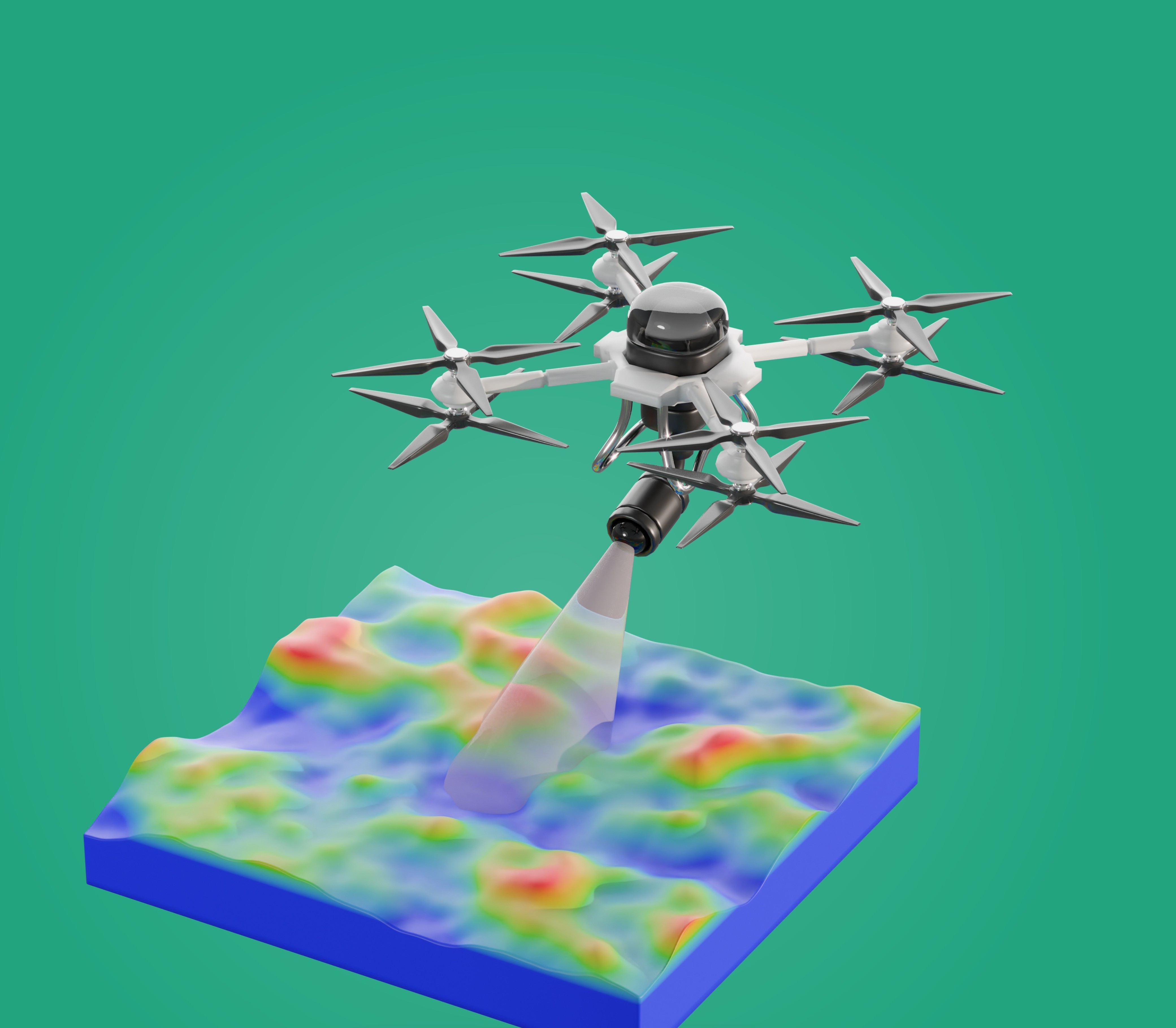
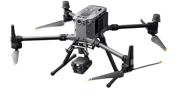
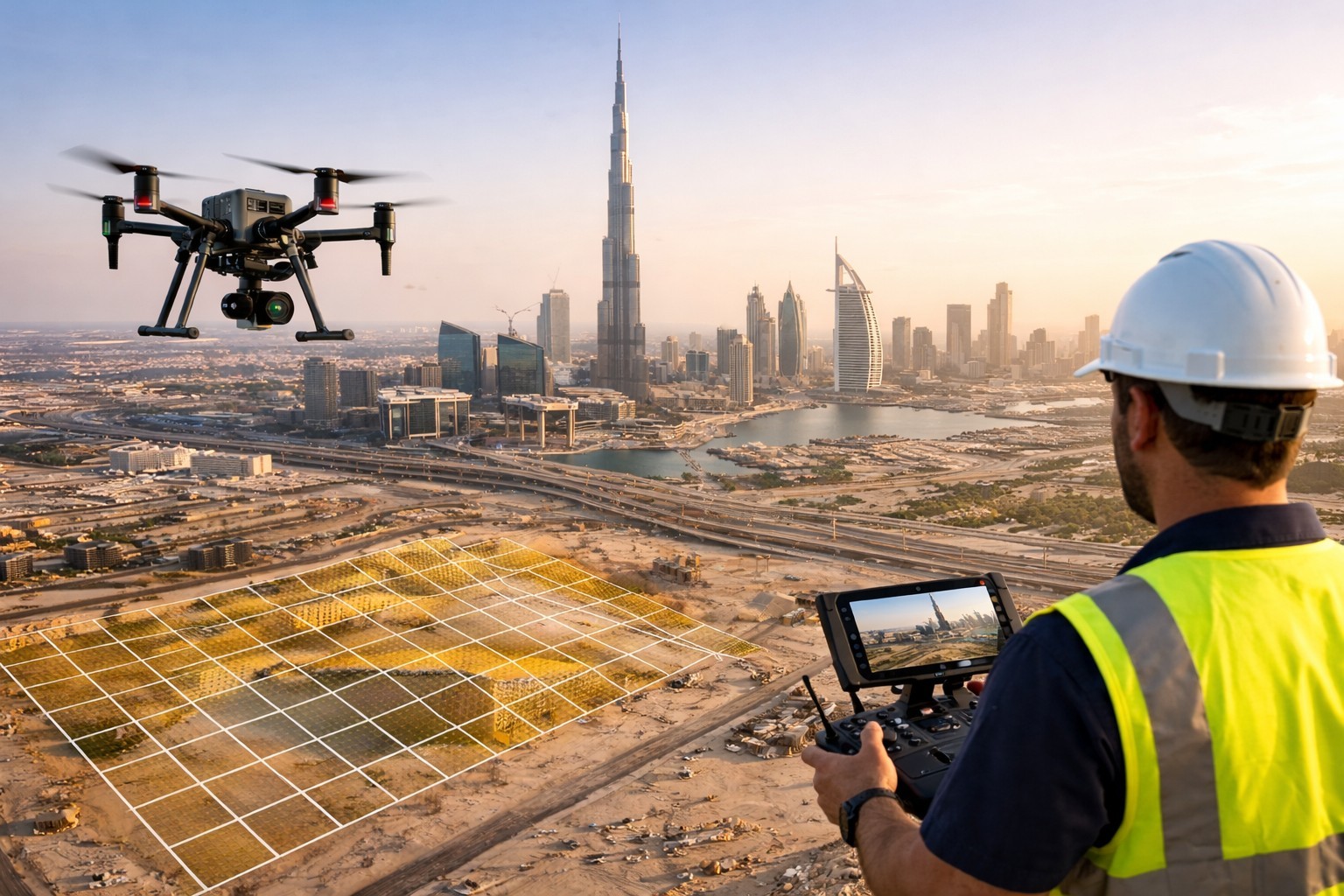
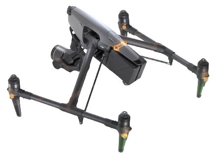
Falcon 3D's smart drone solutions can help you take your projects to the next level. Quickly get clear info from the air. Watch the movement as it happens. Feel good about the decisions you make faster and smarter.
Find out how Falcon 3D brings together new ideas and smart tech. See how we use our drones to scan, map, and check things out. Take a look at these projects that are changing many areas.
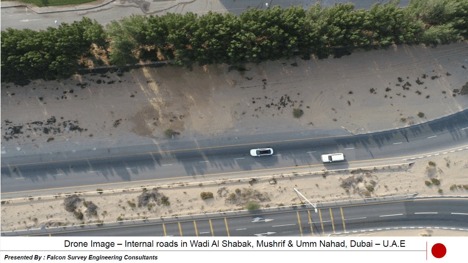
Internal road in Wadi Al Shabak
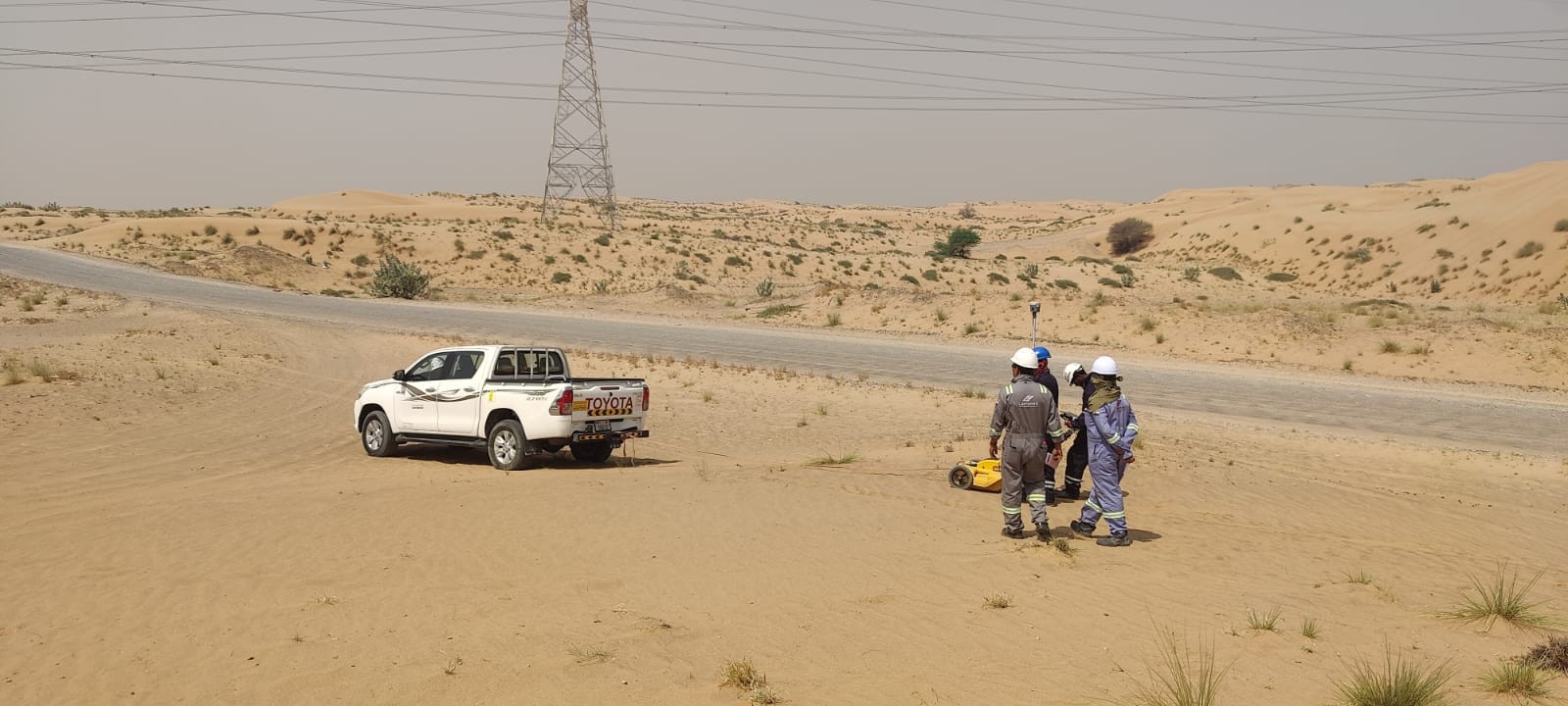
Under ground utility mapping in UAE
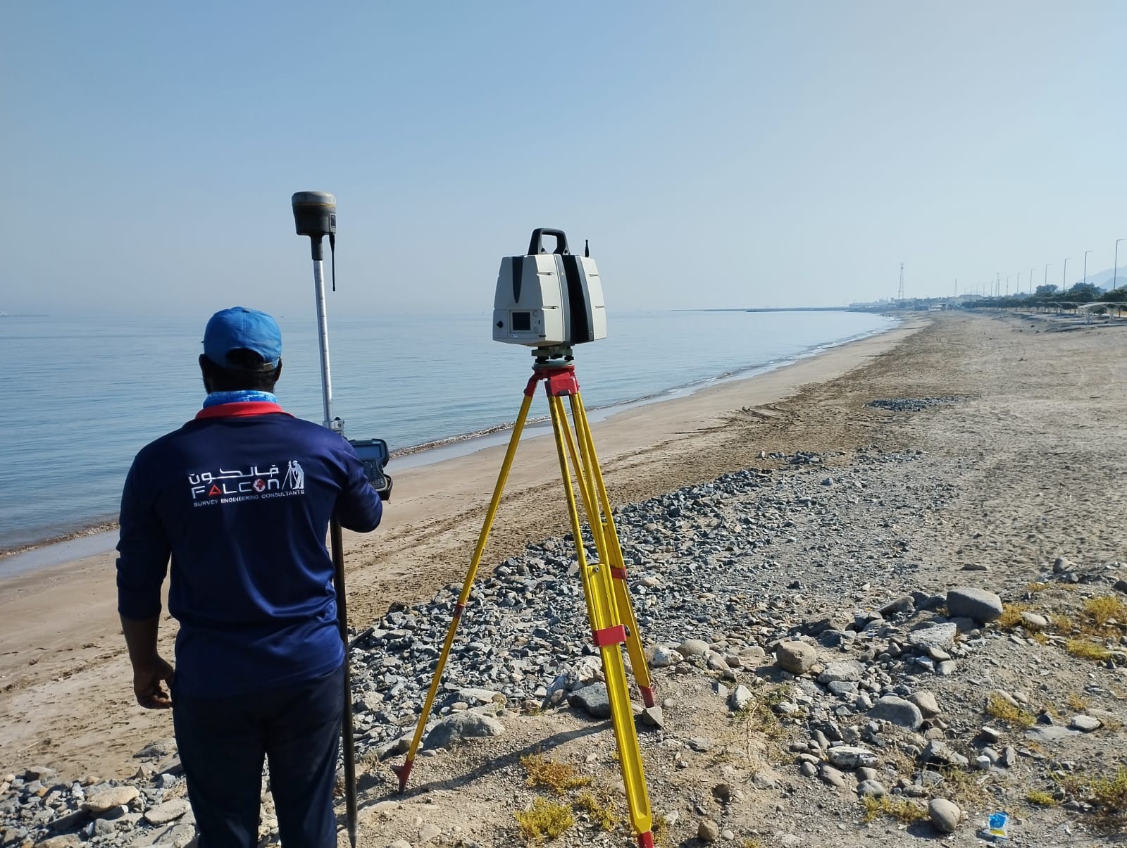
Survey Project in UAE
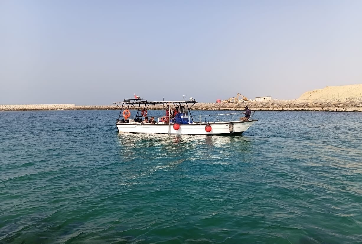
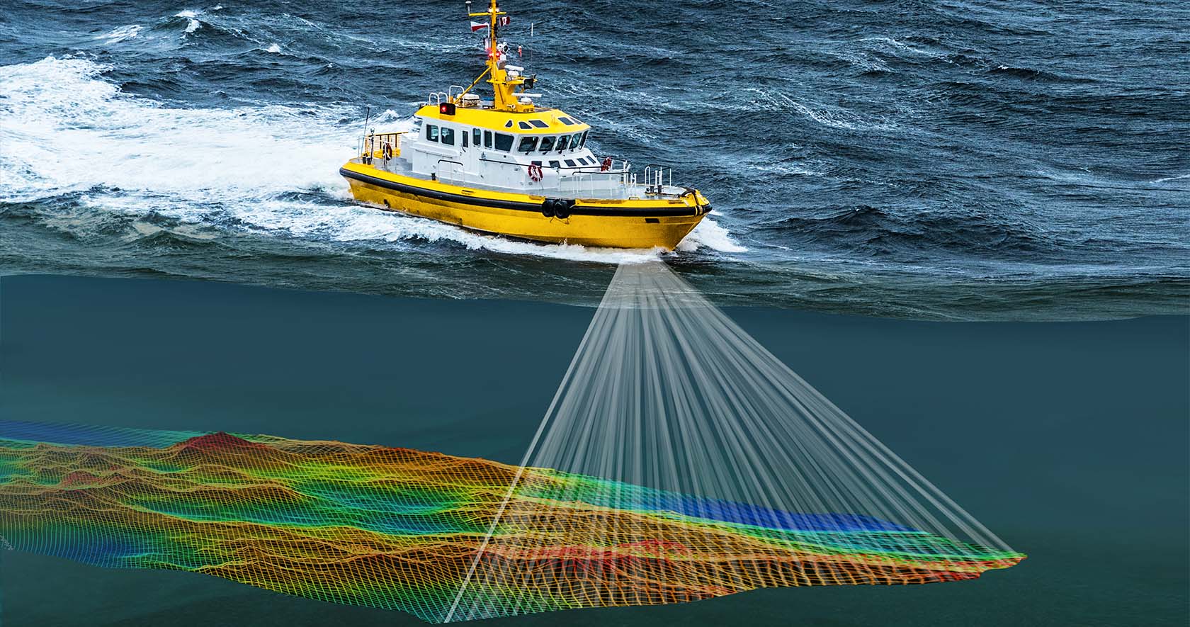
Marine Geophysical Survey
More than 100+ trusted partners & clients


Find out everything you need to know about the site right away. Know what's going on and be sure of what you're doing. A good 3D scan will help you make plans, avoid extra work, and move forward
Let's collaborate and create something amazing! Tell me about your project—I'm all ears.