Home About Us
All Services Drone Surveying Services Land Surveying Services 3D Laser Scanning Mobile Mapping Services Bathymetric Survey Monitoring and Inspections Concrete Scanning Pipeline Inspection Underground Utility Survey BIM Modeling
Blogs Industries Portfolio Contact Us
Get a Free Quote
+97143271414 info@falconsurveyme.com
Back

Services for Drone Surveys and Inspections in Dubai and the UAE

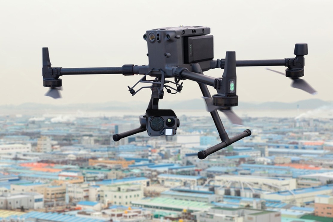
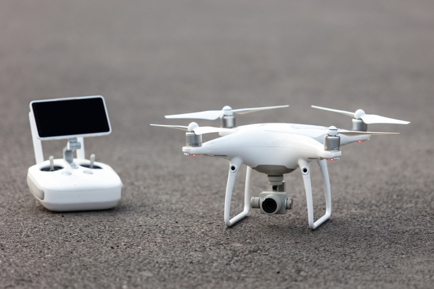
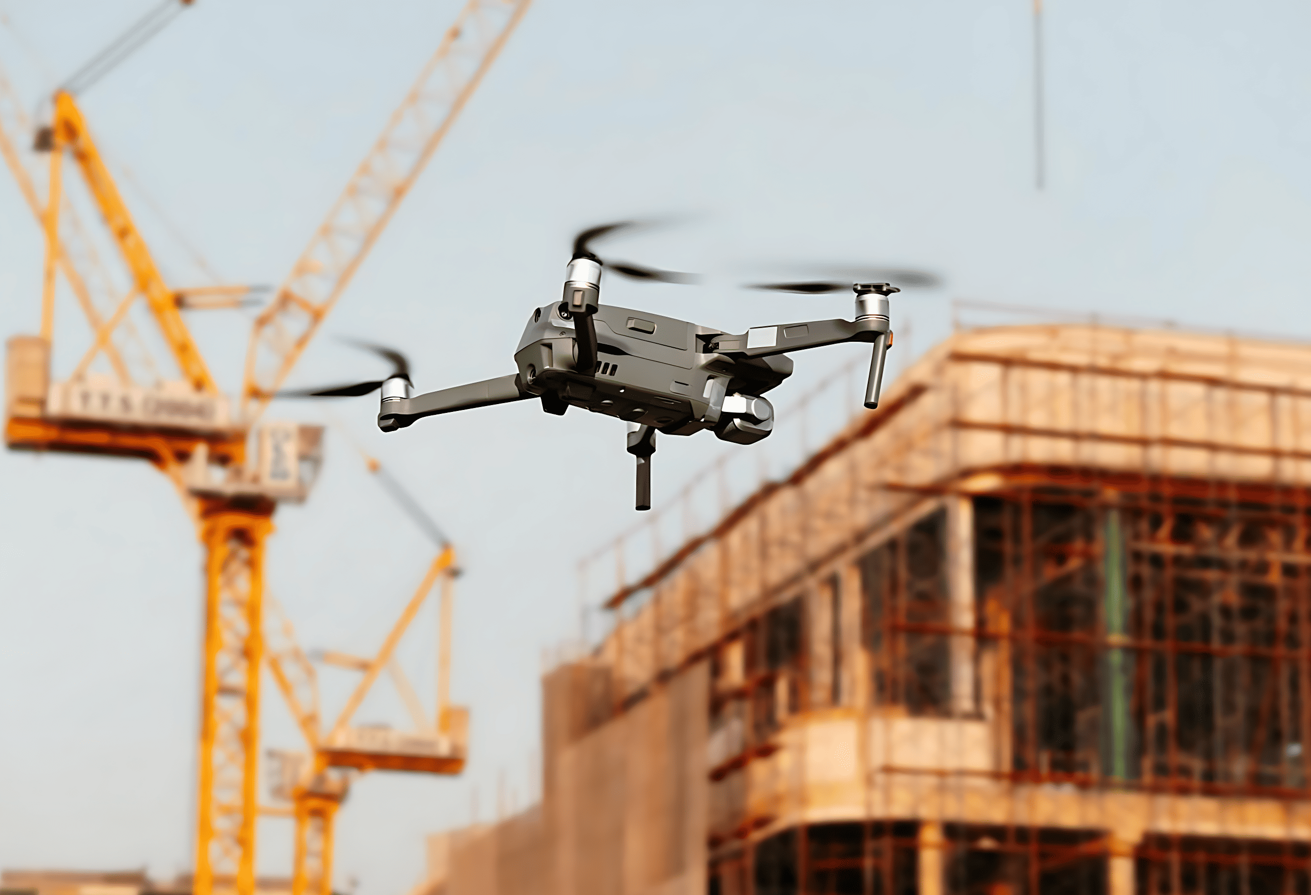
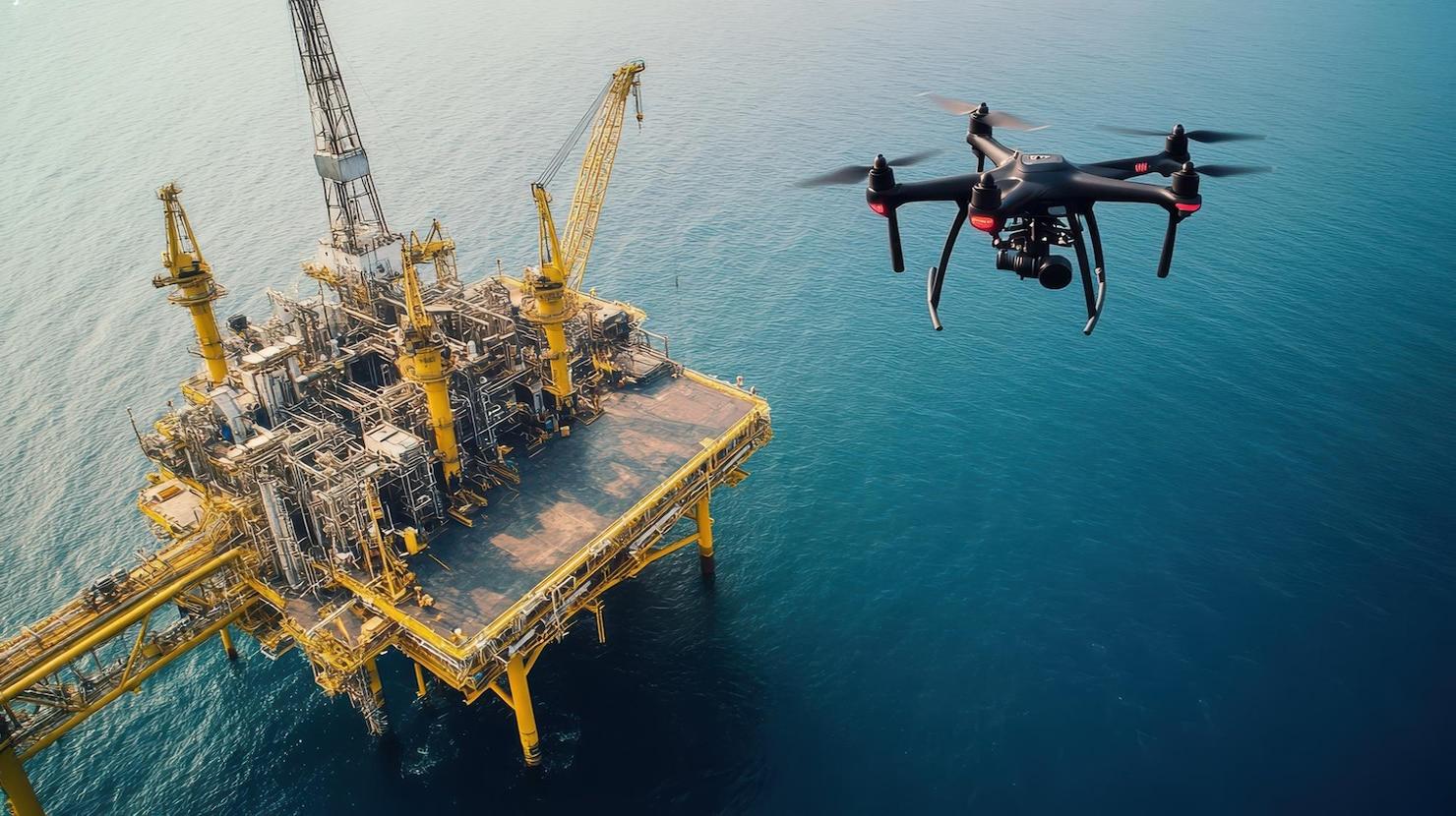
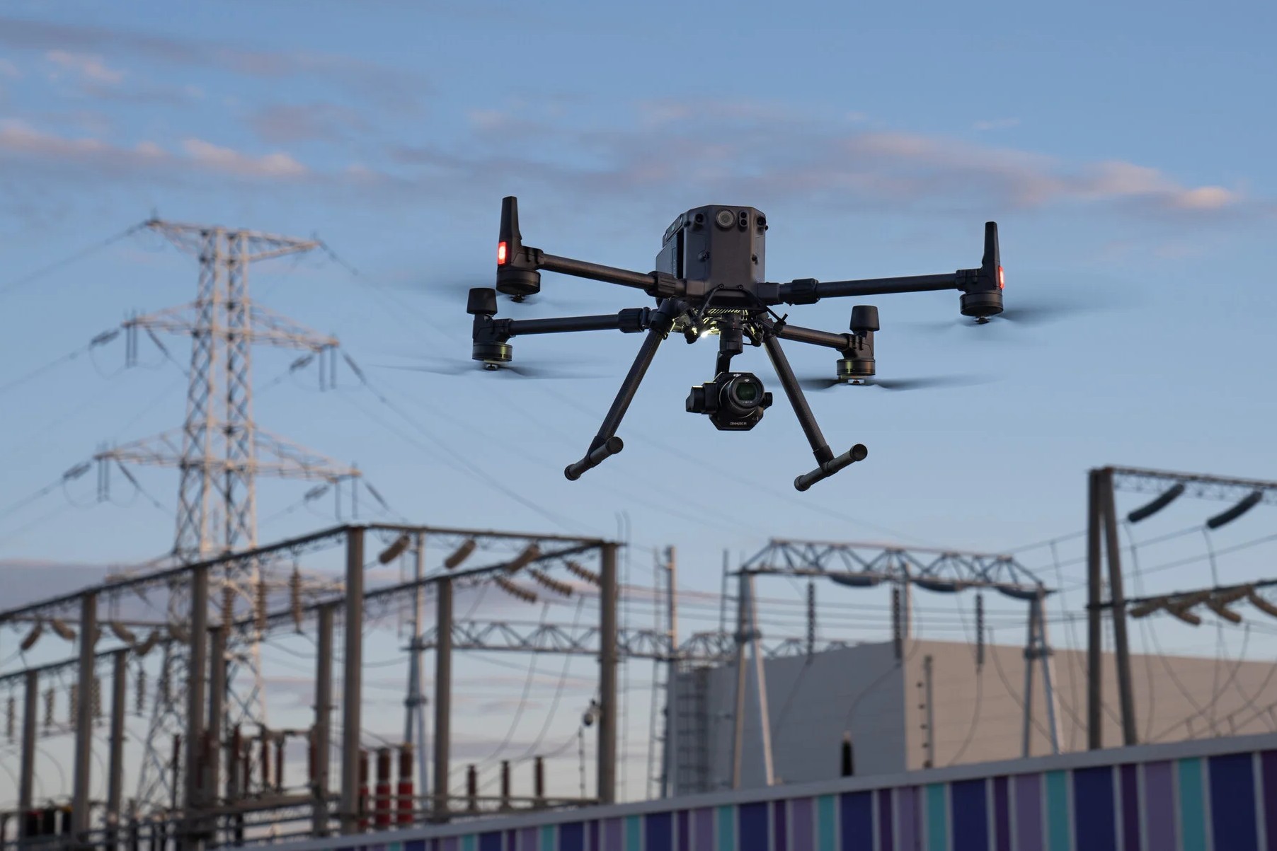
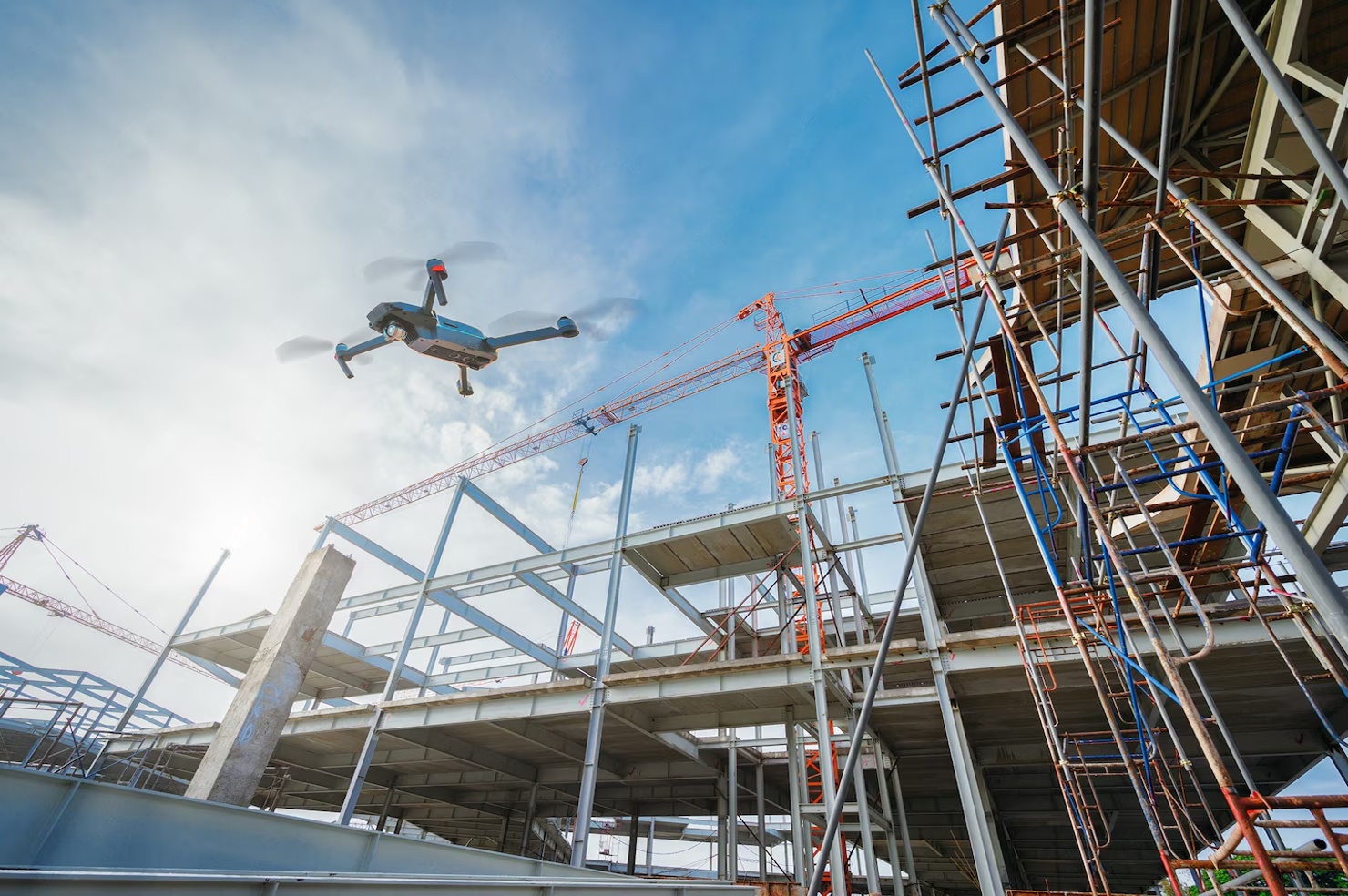
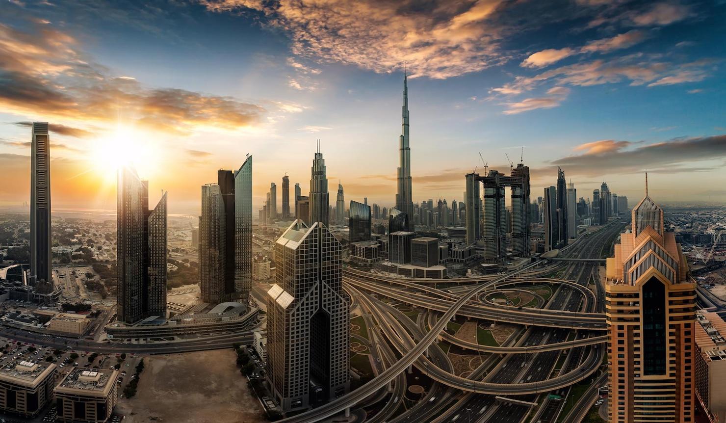
Falcon 3D offers smart, dependable, and effective drone inspection services that are meant to make your projects safer, faster, and cheaper. As a reputable Dubai Drone Services Company, we help companies get accurate data from the sky without stopping work or putting people in danger. Our cutting-edge UAE Drone Solutions & Services help with building, infrastructure, industry, real estate, and surveying jobs. We give you accurate images and data that you can trust to help you make smart decisions by using high-resolution cameras, heat sensors, and the latest UAV technology.

What We Do with Drones

  • Construction Drone Services: get real-time overhead views to keep an eye on the progress of a job site, check out structures, and make things safer.
  • Drone Inspection Services: Rooftop, facade, tower, bridge, and hard-to-reach asset inspections can be done safely with drone inspection services. There is no need for staging or shutdowns.
  • Drone Survey and Mapping Services: Get accurate 3D models, orthomosaic maps, and topographic studies for planning and building.
  • Professional UAV Solutions: Drone services that are tailored to meet the needs of the project, the time frame, and the business.

Why Should You Pick Falcon 3D?

  • Quick gathering of info
  • Dubai's one of the safest drone companies
  • Faster checks with less risk to operations
  • High precision and info that is clear and easy to use
  • A cheaper choice than the old ways of doing things
  • Skilled staff using the latest drone technology

Drone Inspection

Drone inspections that save time, reduce hazards, and deliver real results.

Ariel Mapping Survey

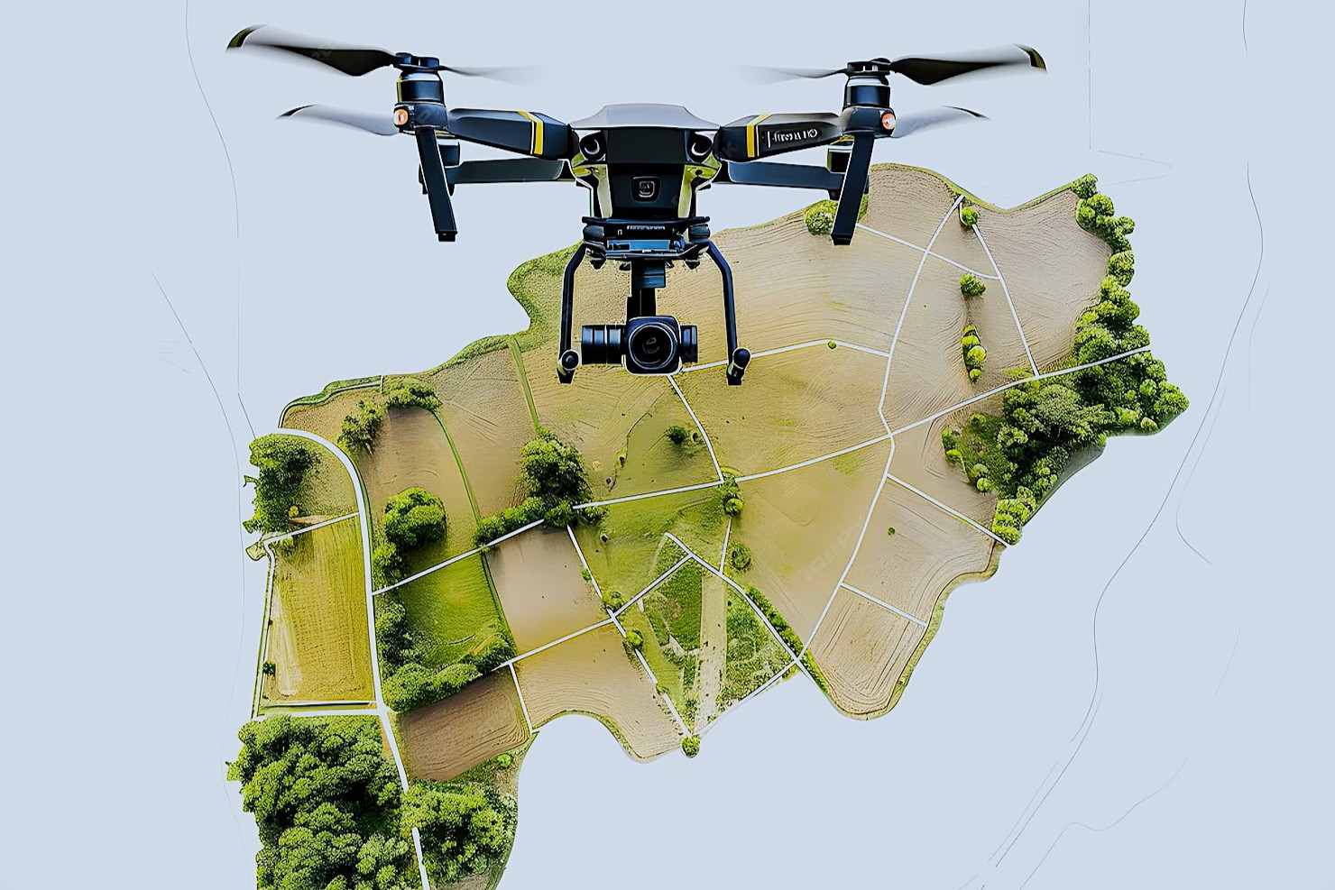
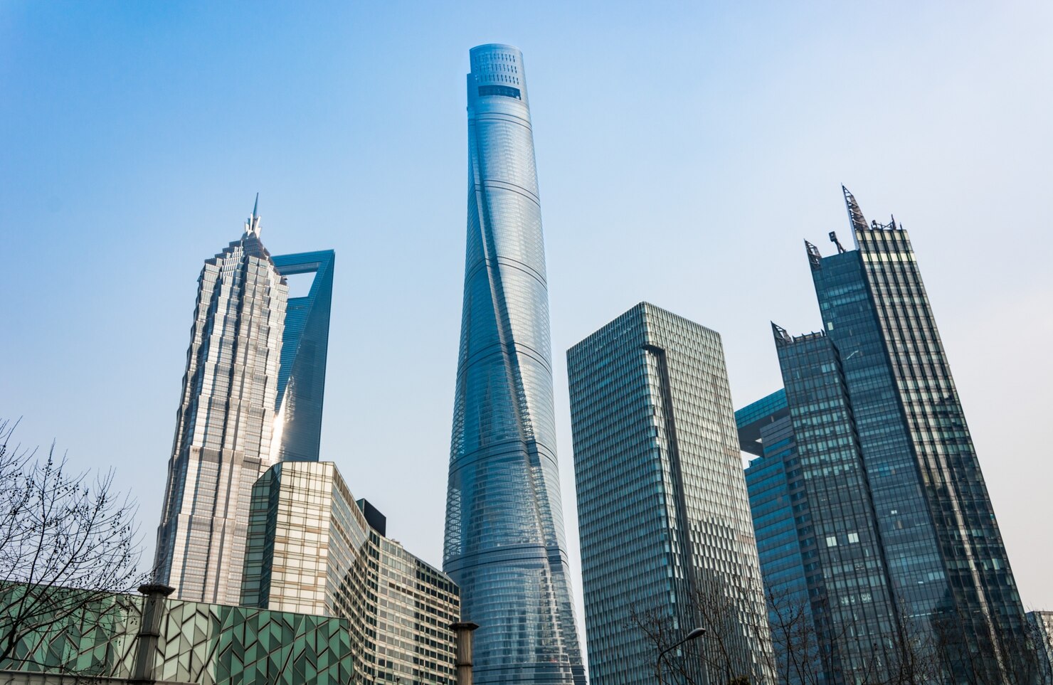
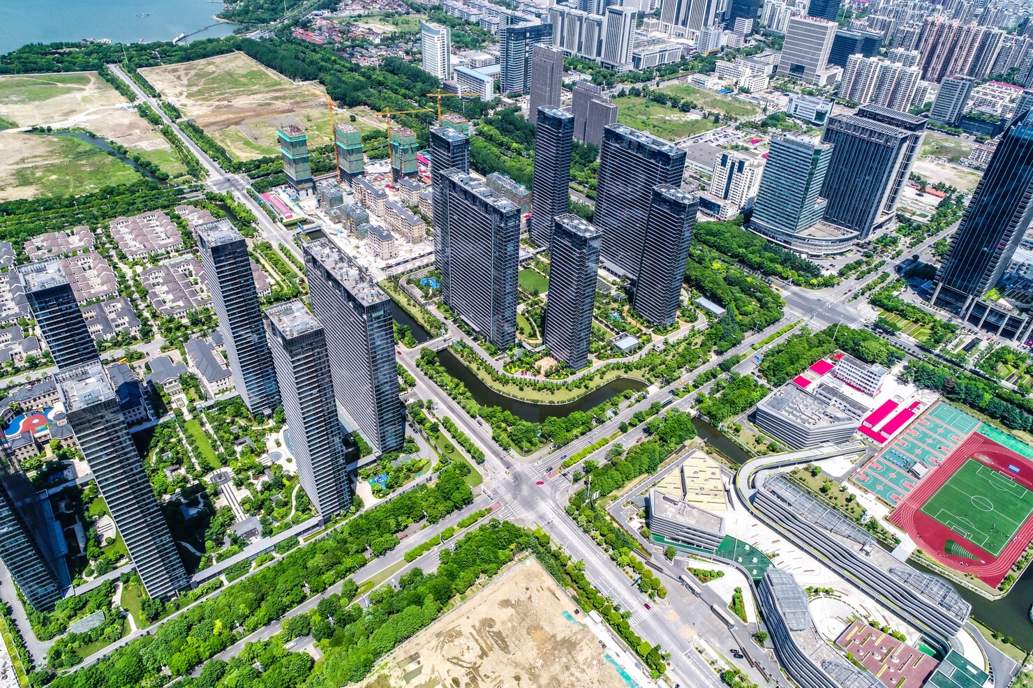
Enjoy fast, precise, and reliable aerial mapping a panoramic view of the planet.

Solar Panel Drone Survey

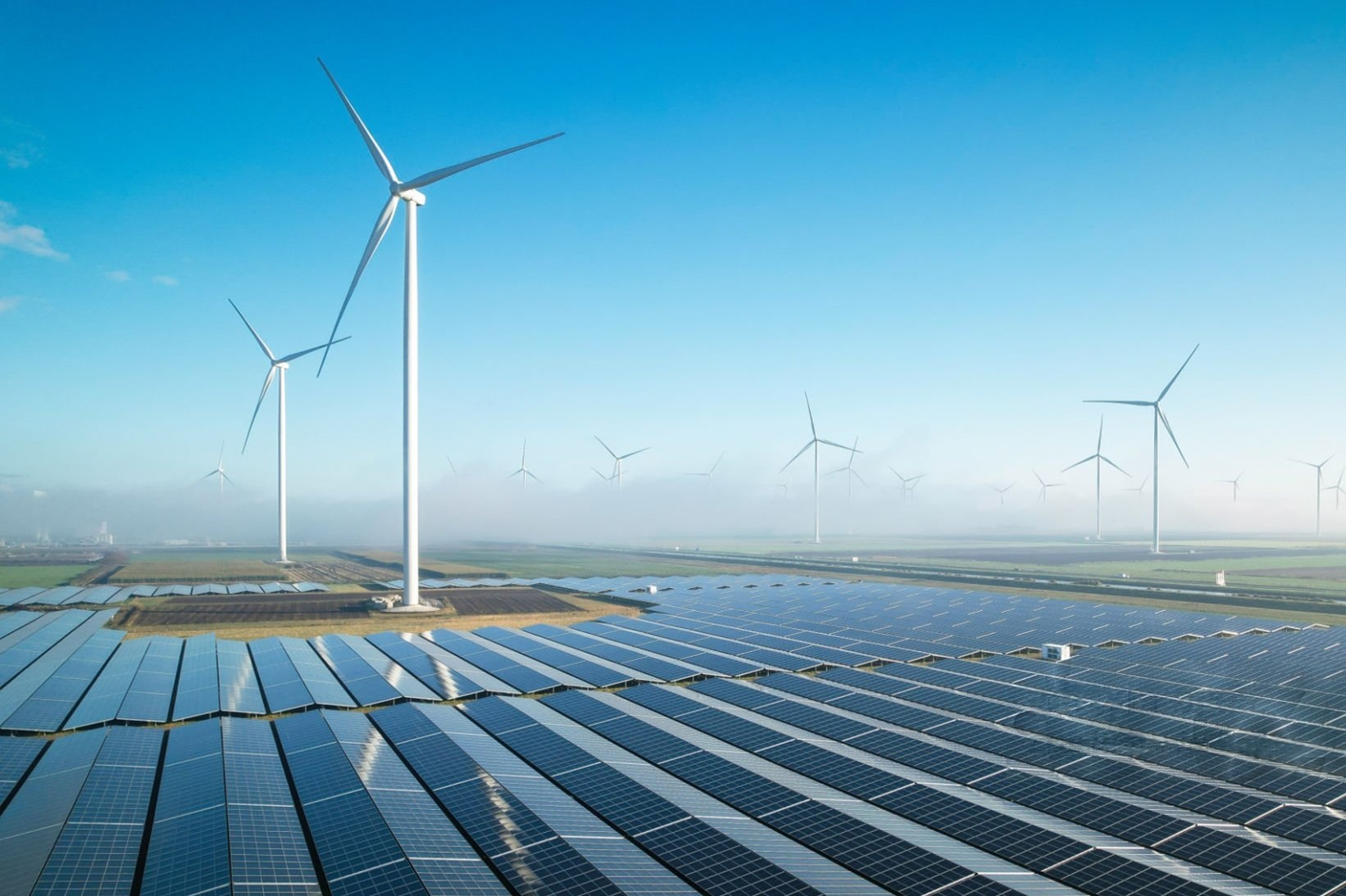
Better repair and peak efficiency with accurate solar panel drone inspections

Roof Drone Inspection

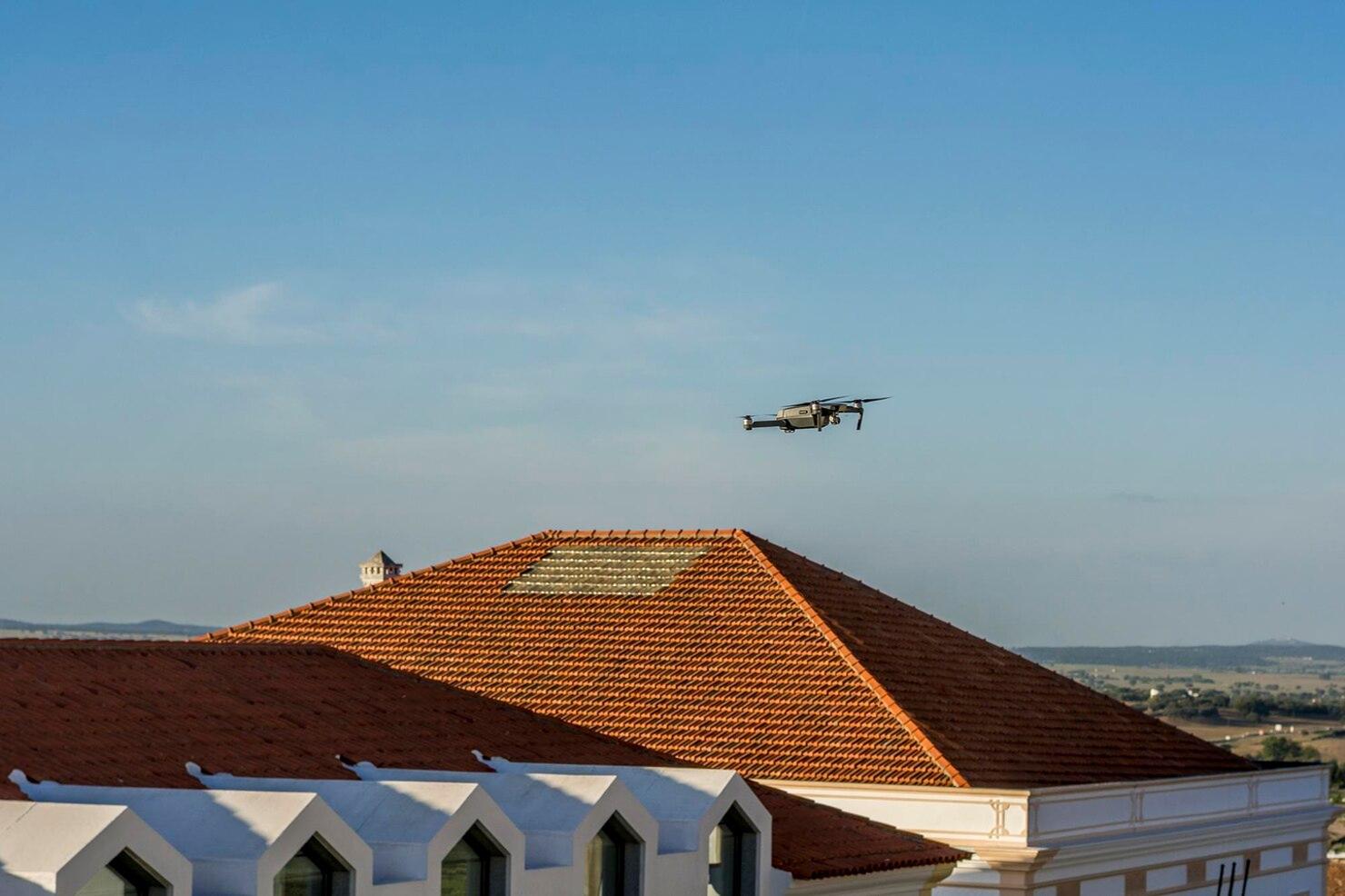
Fast, safe roof drone inspections that identify risks early and protect your home.

Ariel Videography & Photography

Get amazing aerial images and videos that visually tell your story from above.

01
DJI
Matrice 400
Long-Endurance Enterprise Drone Platform with Advanced Obstacle Sensing
Efficiency:  Up to 59-minute forward flight time & 53-minute hover
Precision:  Rotating LiDAR, mmWave Radar & Power-Line-Level Obstacle Sensing
Ease of Use:  Smart Detection, AR Projection & Automated Flight Modes
Design:  IP55 Rated, -20°C to 50°C Operation, Up to 6 kg Payload
Long Flight & High Speed
Multi-Payload & Intelligent Automation
Enterprise-Grade Safety & Reliability
02
DJI
MATRICE 300 RTK
Built Tough. Works Smart.
Intelligence:  Automate missions with recorded flight actions and gimbal data
Performance:  Stable, efficient flight even in harsh weather conditions
Payload Capacity:  Supports up to 3 payloads, max 2.7 kg
Flexibility:  Adaptable design for multiple mission configurations
Advanced Intelligence
Enhanced Flight Performance
Multiple Payload Configurations
03
DJI
Phantom 4 RTK
Revolutionary Accuracy for Aerial Mapping
Accuracy:  Centimeter-level data with fewer ground control points
RTK System:  1 cm + 1 ppm (H) / 1.5 cm + 1 ppm (V) positioning precision
GNSS Redundancy:  Ensures stable flight and data collection in weak signal areas
Camera Sensor:  1-inch CMOS sensor for detailed mapping imagery
RTK-Level Accuracy
GNSS Signal Redundancy
High-Precision Imaging
04
DJI
Inspire 3
Cinematic Aerial Precision with Unmatched Performance
Max Flight Time:  Up to 28 minutes per battery set
Camera System:  Zenmuse X9-8K Air with full-frame sensor
Transmission Range:  Up to 15 km with O3 Pro transmission
Positioning Accuracy:  RTK-level centimeter accuracy for precise flight paths
Dual-Control Mode:  Independent control for pilot and camera operator
8K Full-Frame Camera
RTK Precision Flight
Dual-Operator Control

Applications of Drone Surveying

Construction & Engineering

Agriculture Firms

Oil and Gas Sector

Environmental

Power & Utilities Sector

High Rise Tower Drone Inspection

Onshore & Offshore Drone Inspection

Urban Planning & Land Management

Civil Engineering

Hospitality & Medical

Manufacturing Industries

Aerospace & Defense

Government Sector

Research & Development

Falcon 3D is one of the best companies in Dubai for drone inspections and surveys. They turn flying data into real value, which saves you time, money, and makes projects better.

Use Falcon 3D to get a better look at your project.

Contact us
Whatsapp
Call