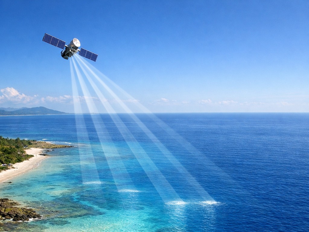
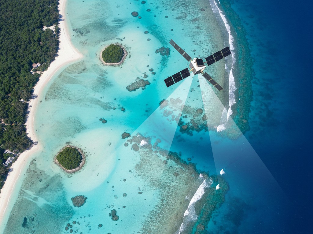
Falcon 3D uses Satellite-Derived Bathymetry (SDB) to make exploring the underwater world easy, quick, and exact. Imagine that you could "see" the bottom of the ocean and find out how deep the water is without having to send boats or survey teams into it. Our company, SDB, uses satellite pictures to make very thorough maps of the ocean floor.
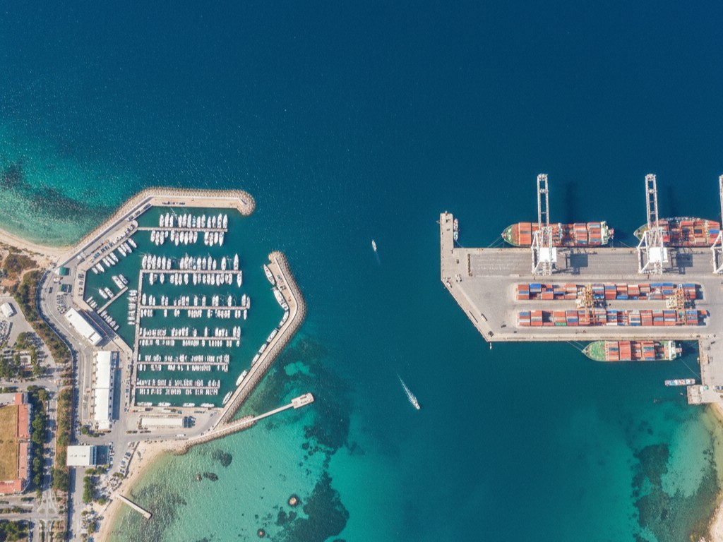
Satellite bathymetry services quickly, safely, and affordably give you the information you need for planning a coastal project, building ocean infrastructure, or studying marine environments.
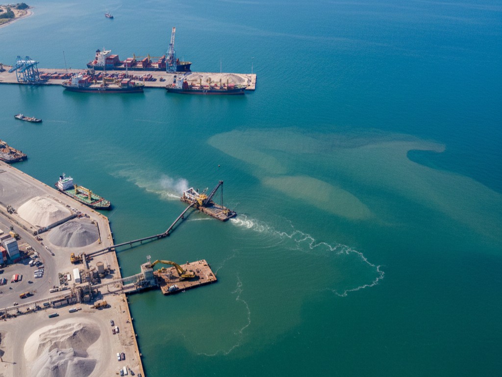
Perhaps you're thinking, "What is satellite-derived bathymetry?" The bottom can be mapped, and the depth of the water can be measured using pictures from space instead of boats or sonar equipment. Traditionally, scanning underwater means sending ships, sonar, or divers, which can be costly, take a long time, and be dangerous at times.
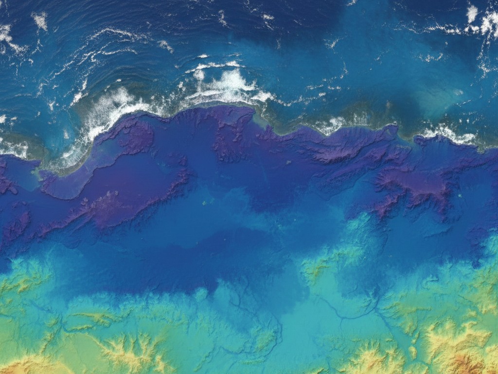
One way that SDB looks at how light affects the water and bottom is by using satellites like Sentinel-2. With pictures from space, smart algorithms turn this data into detailed bathymetry maps that show how deep the water is and what the bottom looks like.
If you don't leave your job, it's like seeing the land below you from above.
Numerous places can benefit from our satellite bathymetry services:
Basically, SDB can help you find out what's below the water.
We make sure you get well-organized info that you can use right away:
For accurate, user-friendly data, Falcon 3D combines hydrography, satellite images, and geospatial technology. Aside from numbers, we also give you information that helps you make better project choices.
Contact UsWith Falcon 3D's Satellite-Derived Bathymetry, it's never been easier to draw underwater places. We provide services that are quick, affordable, good for the environment, and dependable. Whatever your project is—a small coastal study or a big ocean one—we have the data you need to plan, build, and protect.
If you want to know how SDB can help your next marine or coastal job go more smoothly and accurately, contact us today.
