Want to make a map of your project quickly, correctly, and easily? We make it easy with our Hybrid Mobile Mapping service. We use smart technology to get 3D data of roads, buildings, and landscapes that is very thorough.
Our hybrid method makes sure you get accurate results faster, whether it's a city survey or a big infrastructure project.
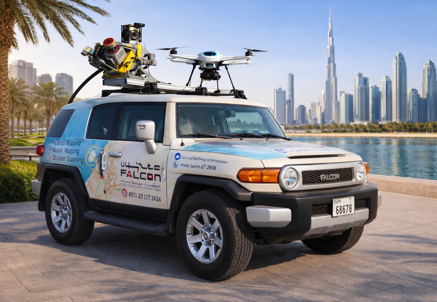
Different mapping tools are used together in hybrid mobile mapping to get the full picture. What we use:
This means that we can accurately map almost any area, even ones that are hard to get to.
Our methods are set up to quickly and correctly gather information. This is what you get with our mobile mapping tools:
These things work great with our 3D mapping services:
We turn real-world places into digital maps that are easy to use, which helps people make faster and better choices.
Falcon 3D makes complicated planning easy by giving you accurate details you can use to move your project forward.
