

For project choices to be good, they need good data.
Falcon 3D can help you turn survey, mapping, drone, LiDAR, CAD, and other types of spatial data into GIS data that is easy to understand and use. Because we offer GIS Data Processing Services in the UAE, your data will be simpler to understand, handle, and use for your project.
We can help you get more out of your spatial data, whether you are working on a construction site, a land development project, an infrastructure development project, something that maps out utilities, or a surveying project.
Have raw data from a survey or map?
Let’s turn it into GIS data that can be used.
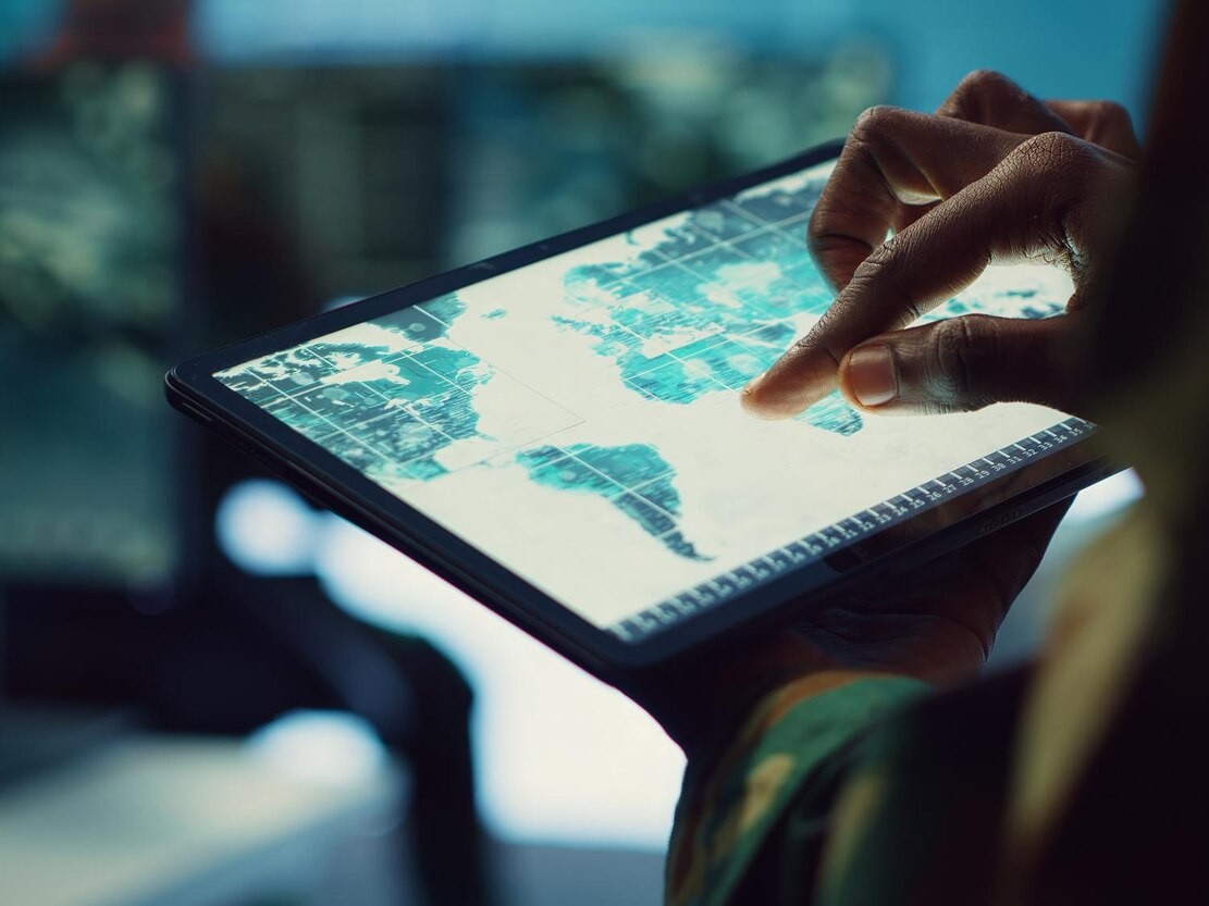
GIS data often has a lot of information and can come from a lot of different places. It can be hard to handle or understand if you don’t do the right processing.
Based on the needs of your project, we help you put that data into useful maps, layers, datasets, and other GIS outputs.
These are our services:
In other words, we make it easier to work with your data.
We take care of your spatial data and put it in a way that is easy to understand and use. This speeds up the way your team works with survey and mapping data.
For large projects, there can be many maps, drawings, survey data, and records. Our GIS Data Management Services organize this data for easier discovery.
Our GIS Mapping Services UAE turn data about places into digital maps that are easy to understand.
You can see the following on these maps:
You need to know what the data is telling you sometimes, not just a plan.
Our GIS Analysis Services UAE help you find information, relationships, locations, and patterns in your spatial data that can help you make plans and decisions.
Our services for converting and processing GIS data in the UAE can help you change and organize your current data into forms that are compatible with GIS. This makes it easier to use your GIS workflow.
The survey data has useful details about your site. Survey data is processed and put in order so that it can be used for GIS mapping, planning, engineering, and building.
The following are some of the places where we can process spatial data:
Survey data is gathered for building, engineering, and land development tasks.
Drones are used to collect aerial images and mapping data.
A lot of 3D data is used to understand terrain, buildings, and other physical features.
Mobile mapping systems are used to collect information for surveys and maps.
Detailed point cloud data collected from environments and buildings that already exist.
Drawings and design data that already exist and need to be used in a GIS setting.
Survey data were collected in a location-based manner using GNSS and GPS tools.
We have maps, datasets, and spatial data that need to be changed or organized.
We make it easy to know what to do.
You provide them with the survey, mapping, CAD, drone, LiDAR, or whatever other spatial data you have.
The information is reviewed by our team, who know what you need from it.
We do stuff to the data: cleaned, organized, converted, and processed to your project needs.
From the processed data, GIS datasets, digital maps, layers, and other agreed products can be produced.
After the data collection, the data is analyzed to satisfy the project’s needs.
You receive well-structured GIS data that you can use to plan your project, analyze it, create maps, or make decisions.
GIS data can come from surveys, drones, LiDAR, GPS/GNSS gear, laser scanners, CAD models, and other sources that create maps. These data can be very large and difficult to work with in raw form.
What we do is ensure the data is clean, structured, accurate, and easy to work with.
For your project, we may consider the location info if we use the GIS data. We check coordinates and location information to make sure data is plotted on the map correctly.
We get rid of information that isn’t needed or is repeated, and we look for data that is missing or wrong.
You can separate roads, buildings, land borders, utilities, survey points, and other assets into different layers on a map.
We can change and get your data ready to use in a GIS environment, whether it is in CAD, survey, or another format.
GIS lets you tag information to a specific location on a map. Information can be stored about an asset such as its name, type, location, size, and identification number.
We can take the data and turn it into simple, easy-to-understand digital maps that project teams can understand and visualize better.
We check that the processed information we send is well organized and can be used for its intended purpose before we send it.
Maps aren’t always where GIS info comes from. With today’s surveying and mapping tools, you can get a lot of data that you can then handle and use with GIS. We may use info from the following sources for this project:
Survey data and aerial pictures can be used to make useful map data.
LiDAR gives very accurate details about the ground, buildings, structures, and other things it scans. The information can be used for GIS and planning purposes.
Laser scanners collect highly detailed data of existing sites, buildings, and structures. You can then process the point cloud data for later GIS or geospatial usage.
Mobile mapping devices can provide a lot of information about roads, assets, and infrastructure. Processing this data in GIS helps put it into useful sets.
GIS maps can work with survey locations and field data and connect them.
For GIS use, survey data can be made available about the site’s boundaries, elevations, terrain, roads, and other features.
You can change and organise existing engineering and survey drawings so that they can be used in GIS workflows.
Software needs to be different for each job. What tools are used depends on the data, the size of the project, and what the result will be.
Some examples of commonly used GIS and geospatial tools are:
It is used to create project maps, manage spatial data, analyze and visualize it.
A free GIS software that lets you create maps, organize data, do analyses, and visualize results.
It can be used to work with survey and engineering drawings and prepare CAD data for GIS workflows.
It can be used to work with different kinds of landscape, elevation, LiDAR, and geospatial data.
It can be used to look at and check 3D point cloud data from laser scanning and other surveying technologies.
Measurements taken in the field and GNSS data can be processed with survey software before being added to a GIS.
The exact tools and workflow are chosen based on the needs of your project and the data you provide.
When you need to know where something is, what’s nearby, and how different things are linked, GIS can help.
Land lines, lots, roads, buildings, the ground, and other site data can all be put in one place by GIS.
GIS data can be processed to help building teams understand the site conditions, including survey information, utilities, access routes, and other important features.
GIS can be used to map and control infrastructure like roads, bridges, drainage systems, pipelines, and more.
Digital maps can be used to map and visualize utility networks such as water, power, phone lines, drainage, and more.
Survey data can be manipulated and combined with other spatial data and used to produce useful maps and datasets.
You can manage and organize large datasets collected by drones and LiDAR for mapping, analysis and project planning.
GIS allows you to keep tabs on your assets and to know precisely where they are.
A project team can, for instance, see an asset on a map and get information about it.
GIS can bring together data from various sources to help people understand existing areas and plan for their future growth.
GIS can be used to make maps of how land is used, the terrain, sources of water, plants, and other environmental data.
Our GIS Data Processing Services UAE can help a lot of different types of businesses, such as
For details about the site, project mapping, survey data, and building up infrastructure.
To process GNSS, drone, LiDAR, and other geospatial data and surveys.
For mapping building assets like roads, bridges, utilities, drainage, and pipelines.
Assess the site, plan, map, research, and record-keeping for the project.
Find information about land parcels, boundaries, site features, planning for development, and properties.
Used to find road networks, transportation infrastructure, routes, and linked mapping data.
It is used to map and manage networks for water, electricity, phone service, drainage, and other utilities.
Projects for the environment. Geographic information is mapped and managed using land, water, terrain, and environmental features.
For keeping track of a lot of information about places that is used for development, planning, infrastructure, and public assets.
What you end up with depends on your job, but it might include:
Digital maps made with GIS
From Data to Useful Data. Imagine that working with GIS data is an easy trip: You have to sort through your data, clean it up, organize it, map it, and then get useful data.
You may be working with thousands of survey points, drone photos, LiDAR data, CAD drawings, or any other data.
We clean and process that data for you to make it more useful in planning, research, asset management, engineering, decision-making, and mapping.
You can’t just create another map.
This will help you understand and use your project data better.
We know how to read survey data.
Information gathered in the field is often the first step in creating GIS data. We know how that information is made and how it should be used because we have experience with surveying and geospatial tools.
Drone measuring, mobile mapping, 3D laser scanning, LiDAR, and land surveying can all be used with our GIS services to get more information.
We don’t think there is a single best way to do things. We work with your data, the needs of the project, the outputs you need, and the purpose you want to serve.
It shouldn’t take hours to figure out how to use complicated spatial datasets. We help you organise and use complicated information as GIS data.
Falcon 3D offers GIS Data Processing Services in the UAE to people working on geospatial projects like surveys, building, infrastructure, land development, and more.
The data from your survey or mapping is very useful. That data can be very useful for your project if you handle it in the right way.
It doesn’t matter if you have survey data, LiDAR data, CAD drawings, mobile mapping data, or existing GIS information. Falcon 3D can help you organise and use it all.
Send us your needs, and our team will help you find the best way to process GIS data for your project.
Get in Touch with Falcon 3D for more info.
Get a Free Quote