Land maps that are easy to use and accurate You don't have to worry about topographic mobile mapping and measuring when you work with Falcon3DME. We use modern drones and mobile mapping technology all over Dubai and the UAE to help you get a good sense of your land. We're here to help you fast and professionally if you need accurate land data for building, planning, or developing.
We have 3D tools that can help you make faster and better choices, no matter what size project you have or whether it's inside or outside.
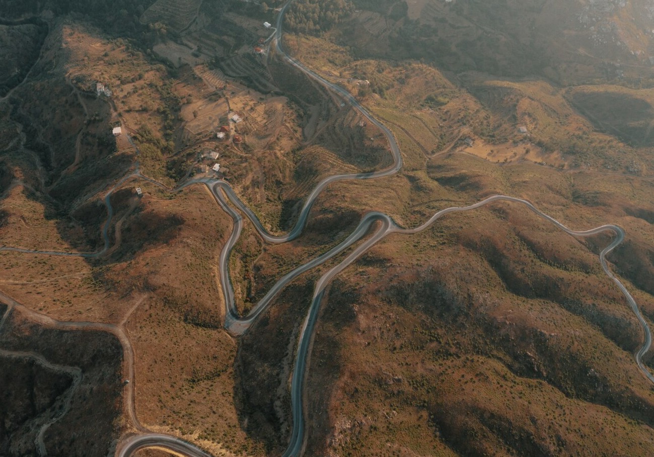
Mobile topographic mapping is a smart way to figure out how much ground there is. It proves:
We don't do slow surveys by hand anymore. Instead, we use drones and mobile tools to get a better picture of everything in less time.
In simple terms, you get clear maps and 3D views that make it easy to plan your job.
Before you start working on a spot, our topographic surveys in Dubai and the UAE give you a full picture of it.
We can help you:
Our polls are correct, dependable, and follow all UAE rules.
We use high-tech drones to get specific information about the land from the air. This speeds up the surveying process and makes it safer and more useful, especially for big or hard-to-reach places.
When you use our drone scanning service, you get:
We explain everything in simple terms so there is no misunderstanding.
Our mobile topographic mapping services are great for: Companies that build things
We take care of all projects, no matter how big or small they are.
Need topographic mobile mapping, topographic survey services in the UAE and Dubai, or professional mapping and surveying by drone?
Get in touch with Falcon3DME right away to talk about your idea.
Contact Us