

Tell us what you need
Just tell us about what service that you are looking for. We will the best Solution for you for fulfilling your requirements
We strive to meet and exceed our client’s expectations to drone survey long term partnerships. We value our staff and create an enjoyable work environment which allows personal fulfillment that leads to a loyal and productive workforce.We will provide superior value and services to our clients by providing quality workmanship, competitive pricing and on time completion of each project. We will deliver high quality projects without compromising time & budget.
To become a leader provider of Quality Surveying & Engineering Services in a sector, signing under the prestigious projects for tomorrow’s world business, harmonizing innovative and progressive technology with its experience, excellence and high- caliber work.; To be a responsive institution committed to building lasting customer relationships & to build trust through excellence organizational growth

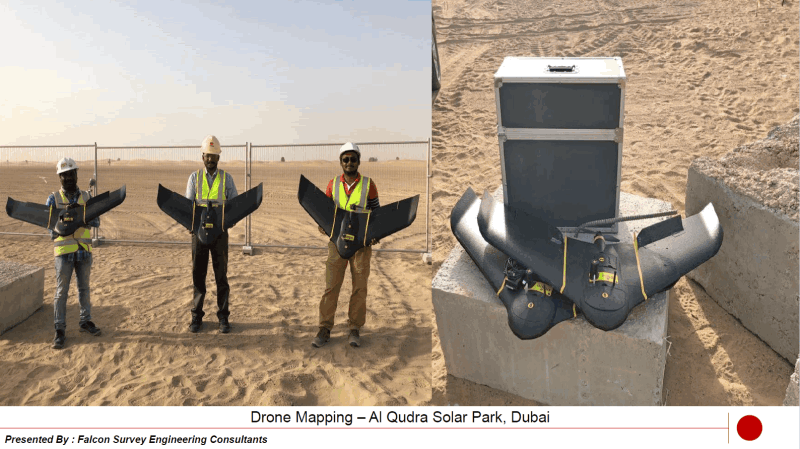
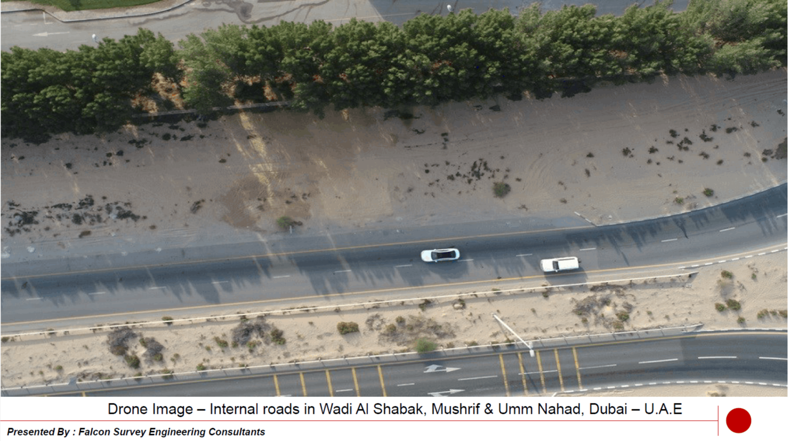
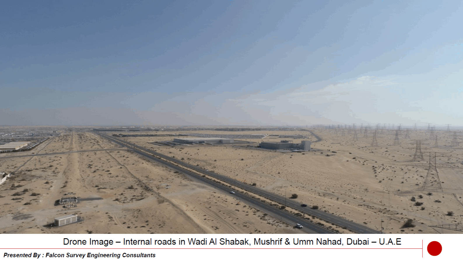
Falcon 3D now offers aerial drone video, drone surveying services and drone photogrammetry services with the acquisition of a eBee Plus Drone. This airborne platform provides the possibility to acquire data in dangerous or hard to reach areas for numerous applications.

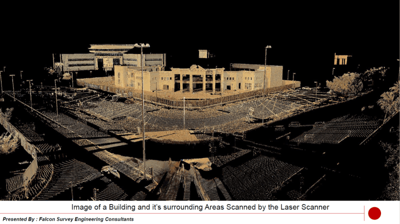
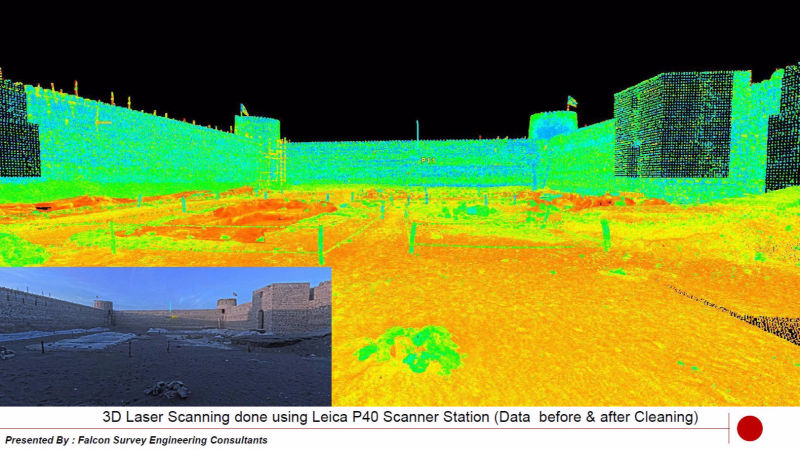
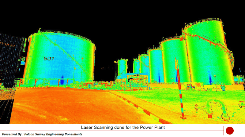
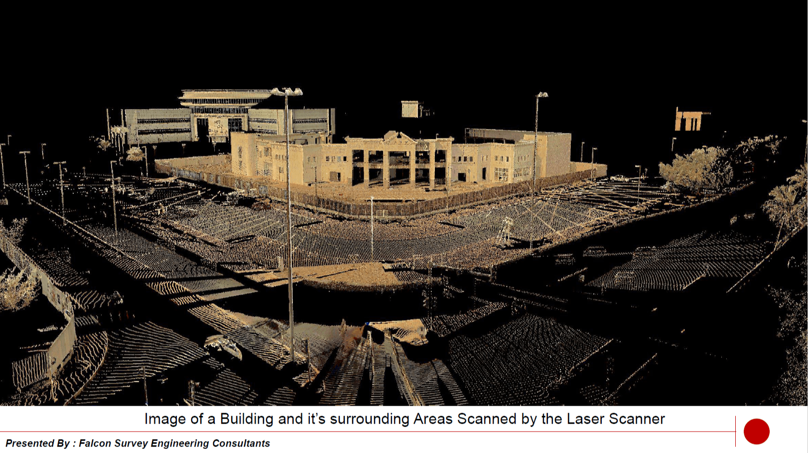
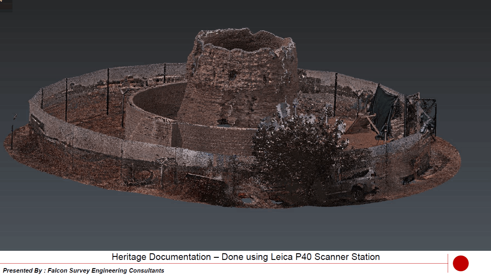
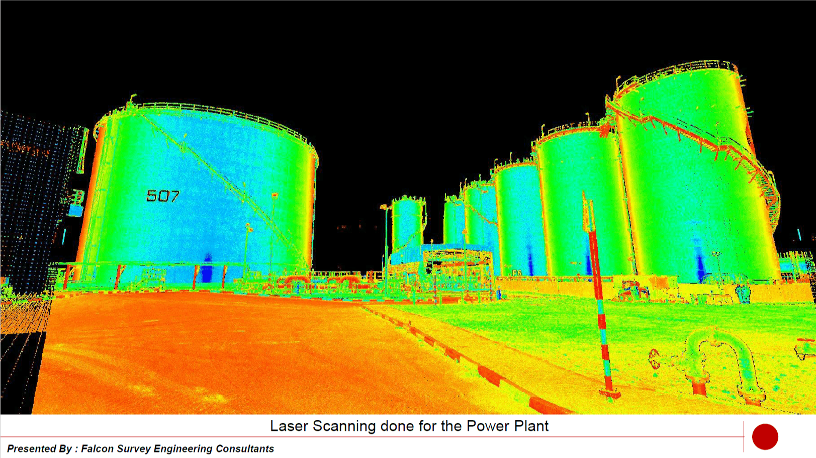
By incorporating 3D laser scanning in the beginning stages of a project, clients are able to realize even greater value and benefits. A scan done early in a project allows the design process to be accelerated because the scan provides a large amount of important as-is information up front.
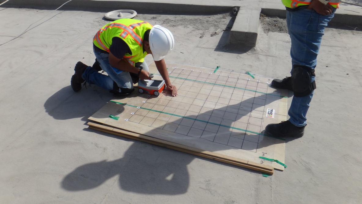
Radar Concrete Inspectionis used to detect Voids, Honeycomb, post-tension cables, Rebars and other objects in concrete construction prior to do any cutting or Coring on the slab. We have the most modern equipment in the Market and we can assure the best concrete inspection service for youe needs.

Every few years, the geospatial industry undergoes a revolution. First, it was total stations, then came GPS, laser scanners and robotics. Now, professionals are adding another tool, mapping drones, which boast quick data collection times, excellent positional accuracy and a safe operator experience.

Experts in the areas of inspection and thermography will support you every step of the way during the planning phase and offer you comprehensive advice regarding the possible use of drones when investigating heat leakages, damaged spots, hairline cracks, etc. to the energy systems.
Falcon 3D Provides a wide range of Aerial Mapping Solutions for your needs.
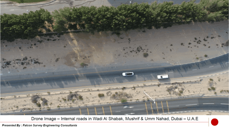
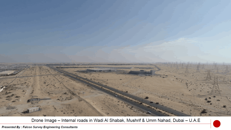
We are providing our surveying & mapping solutions to different industrial applications including Mining & Quarries, Engineering & Construction, Agriculture, Environmental Protection, Solar Energy, Archeological Inspections, Roof Inspections, and much more
How we Work
Falcon is providing a wide Range of Mapping Solutions in order to ful fill your requirement from the beginning of your construction of a Project until it is successfully handing over to the Client.
1
Just tell us about what service that you are looking for. We will the best Solution for you for fulfilling your requirements
2
We will offer the best and proper solution for your need and problem
3
Contract Signed and we start to do the project with estimated time, resource and cost
4
We will start to plan about the schedule of Works and will arrange our Technical Team to execute the Field Works
5
All the design will be started to excute in this stage. Also, the Quality checking of the Drawings will done refer to final verification on the Site
6
The Final Reports will be sent to the Client for their Validation. We will provide all the necessary support to the Client in case of any clarification to our reports.
Please fill the form below so we can help you make the right choice. If you know exactly what you're looking for click here.

LOCATE US
Suite #209, Apricot Tower
Dubai Silicon Oasis
P.O. Box 238544, Dubai
United Arab Emirates
Call Us: +971 4 327 1414(Dubai)
Call Us: +971 2 550 4300 (Abu Dhabi)
DRONE SERVICES
LASER SCANNING SERVICES