
High accuracy mass capture dataset available in a range of resolutions and formats, including contours, suited to more detailed applications.
DTM's provide a topographic model of the bare earth / underlying terrain of the earth's surface. They are usually derived from DSM's by digitally removing the cultural (man-made) and vegetation features. Falcon is specialized in aerial photography at low heights with a geometrically calibrated camera. This enables us to obtain all heights of a surveyed terrain. At the location of each extracted height the X & Y coordinates are also measured. In this manner a digital terrain model (DTM) is created. The advantages of a digital terrain model is that it allows for extremely fast and efficient calculations. In this manner the volume of a stockpile can be evaluated relative to a ground level. If two measurements have been made over a period of time the difference in volume can be computed.

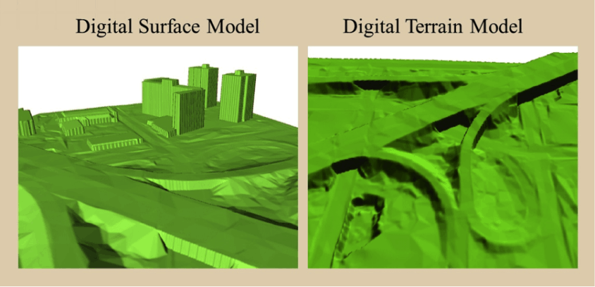
DSM's measure the height values of the first surface on the ground. This includes terrain features, buildings, vegetation and power lines etc. DSM's therefore provide a topographic model of the earth's surface. DSM's can be used to create 3D fly-throughs, support location-based systems and augmented simulated environments.
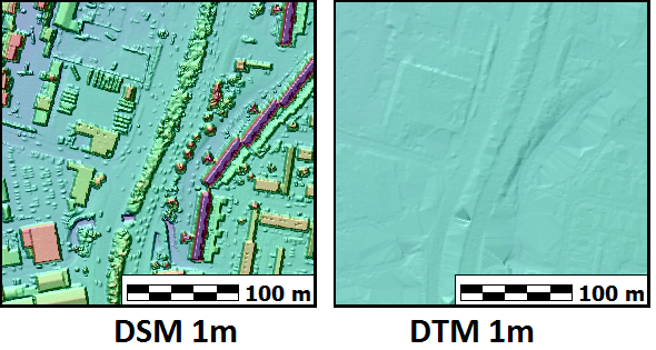
LiDAR (Light Detection And Ranging) is a method of collecting height data by bouncing laser pulses at the ground from and back to an aircraft. The data can be turned into digital elevation models, essentially, high resolution 3d maps of the ground surface, which can be displayed in several ways – one way is to produce artificial shadows or ‘hillshade’, as in the grey background mapping used on this website.
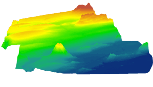
Digital Elevation Model is used to refer specifically to a raster or regular grid of spot heights.
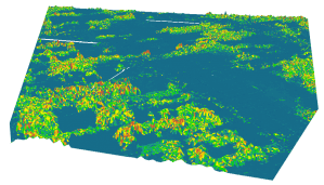
Digital Surface Model represents the earth’s surface and includes all objects on it.
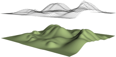
Digital terrain modeling (DTM) is the practice of creating a digital representation of ground topography and terrain