free web builder

3D LASER SCANNING

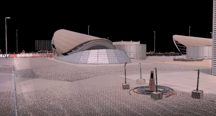
Falcon.3D has been intensively involved in activities related to 3D laser scanning. Over the years, our know-how and expertise has grown to cover different aspects of the technology in all possible fields of application. 3D Laser Scanning is now the core competence of our company.


Overview of 3D Laser Scanning

3D laser scanning is a highly precise method of apprehend the data in 3D storage. With this process we can provide richer data which allows 2D drawings, 3D models, ortho-images and fly-through animations to be produced. We approach a range of scanners to meet the individual requirements of each project. 3D laser scanning can be waged in a wide range of applications.

In engagement, We have tackle a wide range of scanning projects including aircraft, boats, buildings, statues, streets, rail and tube stations, petrochemical plants, factories and offices, cave systems, mines and quarries to name but a few.

We also have a global mesh network of contacts connecting us. When suitable to undertake 3D laser scanning using local specialist or equipment to decrease the time and cost for data capture whilst allowing us to control the production of deliverables to achieve the standards required.

A big provocation on civil and construction projects is being expert to accurately and quickly accumulate the 3D data in record systems. In the drawing phase, we can provide exact as-built scans of the existing conditions. High tech robotic scanning is rich faster and more inexpensive than typical field measuring and surveying techniques. Working with us on laser scanning removing the needs for revisiting the site for missed dimensions and location.

Aerial Mapping Drones assist in 3D Laser Scanning to provide a high resolution, rich digital representation of the construction site. Equipped with cameras, infrared sensors, and geolocation sensors, these drones can quickly and accurately scan large areas regardless of the contraction site's over-grown or complex nature.

Falcon 3D is not only provides a visual progress report but also facilitate quick data collection times, excellent positional accuracy and safe operator experience. With 3D Laser Scanning survey through drones, elevations, measurements, coordinates, pipe diameters and high-definition photos can be extracted with the click of a mouse. It can also provide sophisticated analysis and visible visual imagery of the project progress to make the documenting process much easier.

Traditionally, this data was collected using ground-based survey tools. But Aerial Mapping Drones have low maintenance expenses, rapid deployment times, and different types of installable cameras. Thus, mapping drones are now used for faster, cheaper, and safer results to reduce the chances of suffering any significant setbacks.

Generally, this 3D data was accumulated using ground-based survey tools. But Aerial Mapping through drones have low conversation expenses, fast deployment times and different types of assemble cameras. Thus, drones mapping are now used for faster, cheaper and safer results to bring down the chances of tolerate with any significant setbacks.
3D Laser Scanning Services

Read here about our Services / Applications of 3D Laser Scanning

topographical survey using 3d laser scanner

Topographical Survey

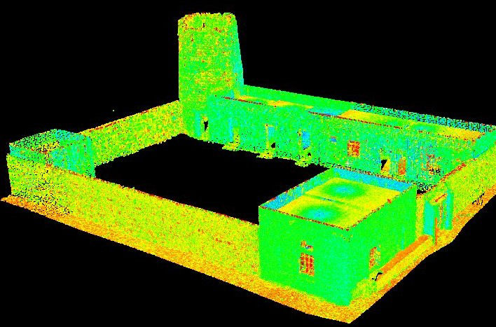
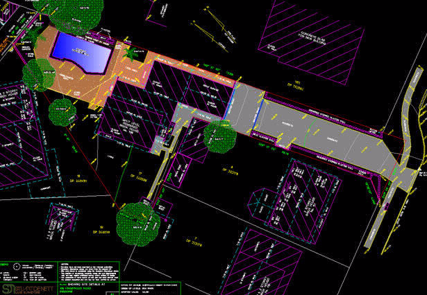
2D or 3D topographical information can be extracted from the point clouds. This can be delivered in a variety of formats and levels of detail that can be tailored to suit your specific requirements

READ MORE

asbuilt survey using 3d laser scanning

As-Built Survey

We provide the existing conditions of a facility, accurately and completely documented prior to the start of any design or construction project

READ MORE

volume calculation using 3d laser scanner

Volume Calculation

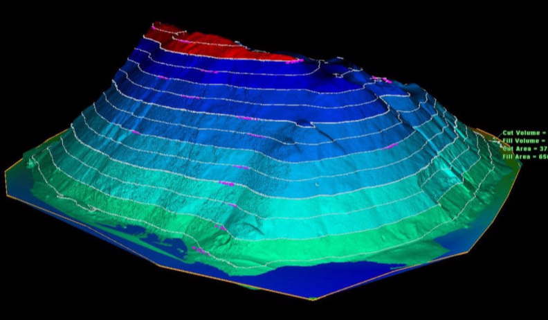
Measuring a stockpile volume using 3D Laser Scanning technology is another far the quickest and safest method available.

READ MORE

reverse engineering companies in uae

Reverse Engineering

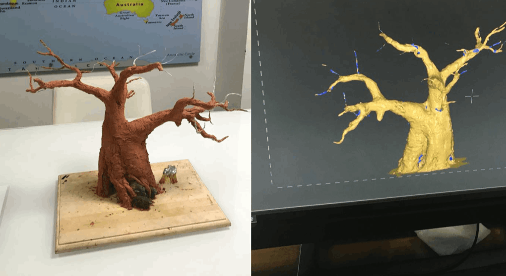
Using 3D scan data is the most efficient way to generate a 3D CAD model from a physical object that has any kind of complex or freeform shape.


READ MORE


asphalt level monitoring using laser scanner

Asphalt Level Monitoring

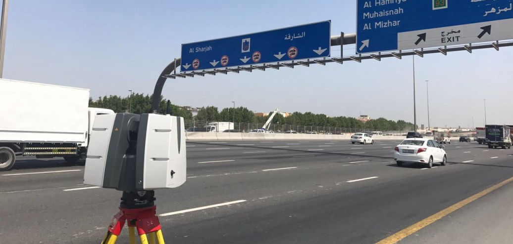
Monitor the road surface level before and after the micro tunneling by using Leica P40 3D Laser Scanner Station in order to analyze the effect of the tunneling works.


READ MORE

3d mesh modeling services in uae

3D Mesh Modeling

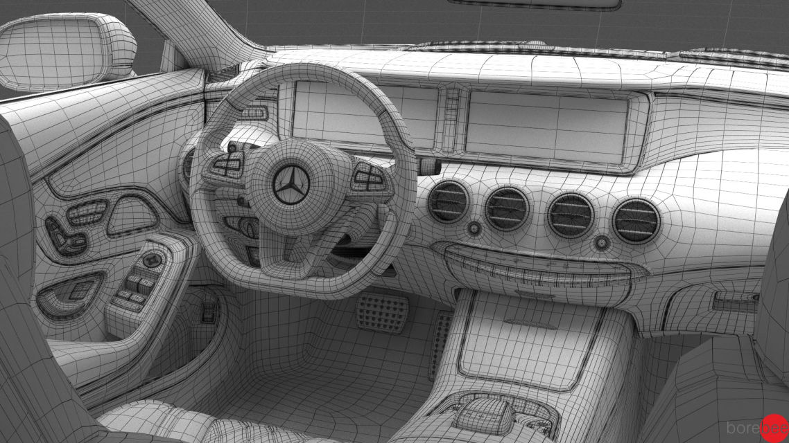
We have a team of creative 3D designers to offer a wide range of 3D modeling services for clients from all spectrums of diverse industry sectors.

READ MORE

leica truviews in uae

Leica TruViews

High-resolution maps & 3D digital models are driving new era of archaeological discovery


READ MORE

3d modeling services in uae

3D CAD Modeling

Falcon.3D is offers 3D modeling services on CAD to Engineers, General Contractors, and Developers, among other services.


READ MORE

2d elevation using laser scanning

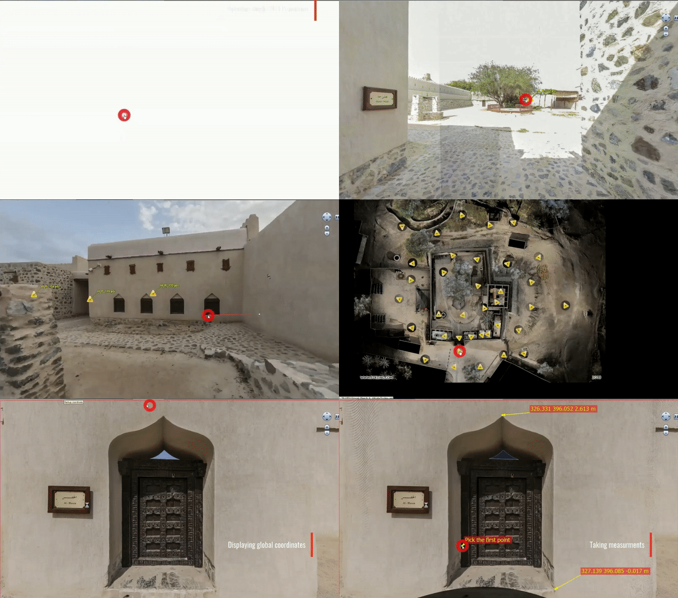
Heritage Documentation

3D laser scanning really comes into its own when utilised within the heritage environment. The ability to accurately capture complex and irregular features quickly and remotely has obvious benefits over traditional survey techniques.


READ MORE

3d laser scanning companies in uae

BIM Modeling

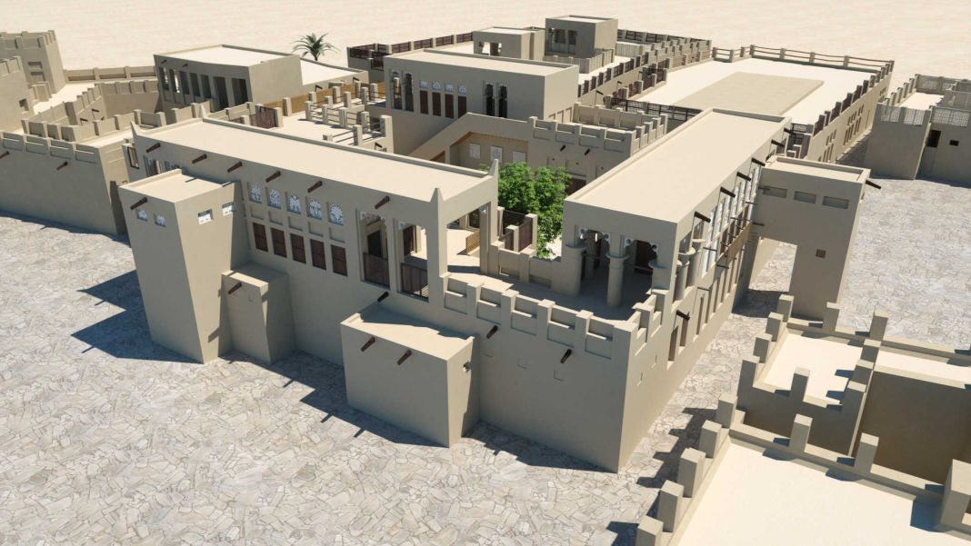
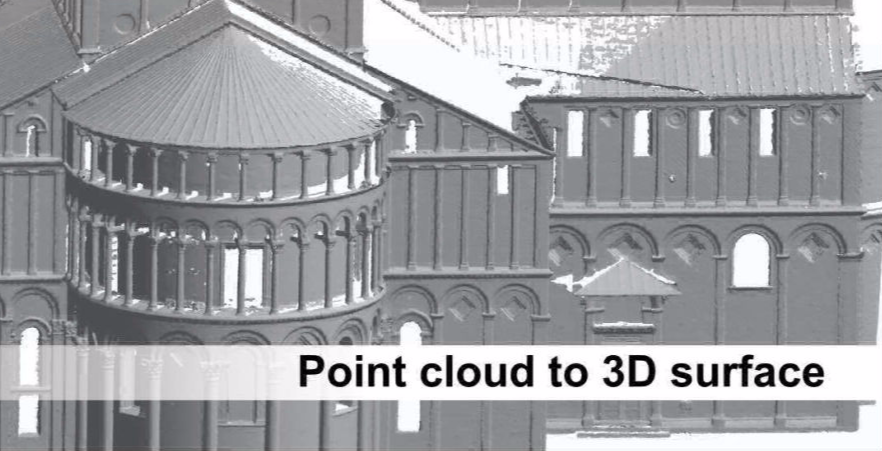
Falcon.3D specializes in Scan to BIM or point cloud to mesh conversion, developing 3D BIM Models and as-built drawings. We translate as-built scanned data captured by Leica, Faro into architectural, structural and editable AutoCAD or Revit 3D solid models & 2D CAD plans.

READ MORE

The 3D scan data can easily be imported into all commonly used software solutions for accident reconstruction, architecture, civil engineering, construction, forensics, industrial manufacturing and land surveying. Distance dimensions, area and volume calculations, analysis and inspection tasks and documentation can thus be carried out quickly, precisely and reliably.

drone mapping services in uae

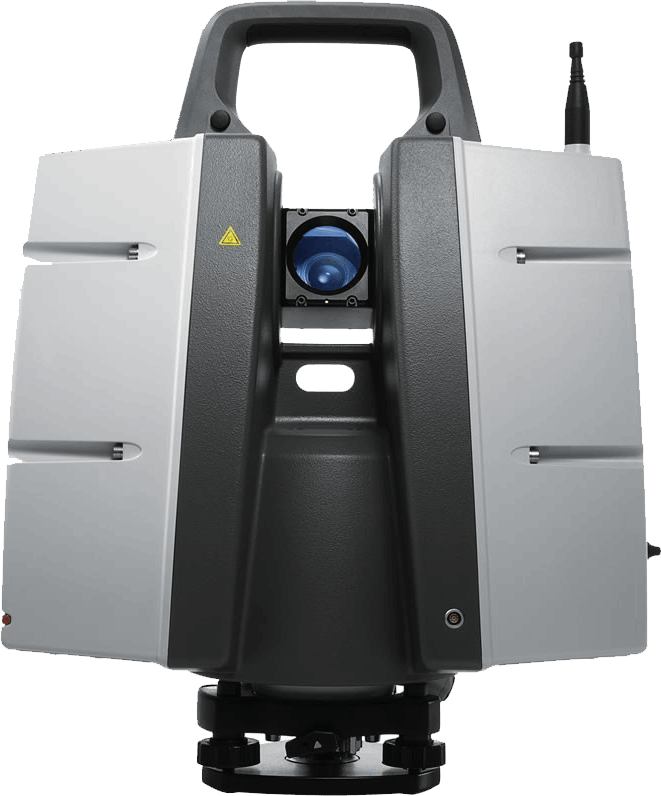
Leica P40 Scanner Station

The ScanStation P40 is the right choice Whether capturing 3D geometry of roads, rails, tunnels and bridges or high-definition scan data for topographic maps and as-built surveys, you know you’ll need an accurate long range scanning tool for your projects – the new Scan Station laser scanners from Leica Geosystems are the right choice, because every detail matters.

Extreme performance in tough environments

The Leica PP40 bring the highest quality HDR imaging and 3D data at a scan rate of 1 mio points p/second at distances of up to 270 meters. Supreme angular accuracy and range combined with survey-grade dual-axis compensation and low range noise form the basis for highly comprehensive 3D point clouds (colour) mapped in lifelike clarity.

Decreased downtime

The robust ScanStations function under the harsh working conditions, such as intense temperatures varying from – 20°C to + 50°C and conform to the IP54 rating for water and dust resistance.

drone mapping services in uae

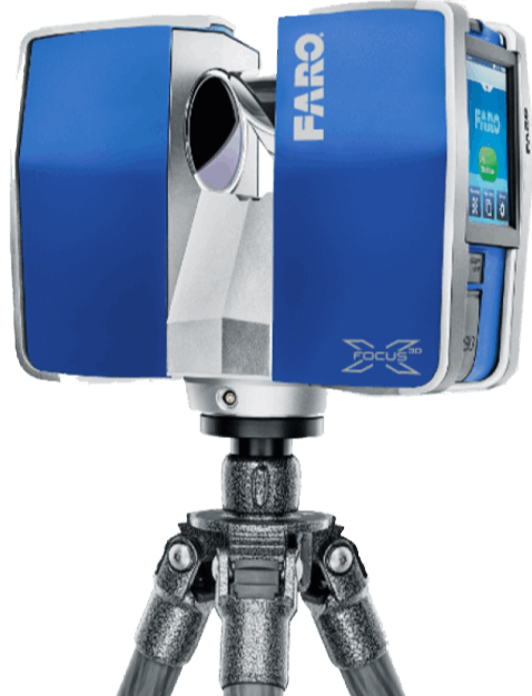
FARO Focus3D X 330 

The technology behind the Focus3D X 330 is simple. First, the laser scanner emits a laser beam from a rotating mirror out towards the area being scanned. Then the unit distributes the laser beam at a vertical range of 300° and a horizontal range of 360°.The laser beam is then reflected back to the scanner by objects in its path. The distance to the objects defining an area is calculated as well as their relative vertical and horizontal angles. The data is captured and transmitted via WLAN for calculating precise 3D renderings.

Extended Scanning - 330m Range

The Focus3D X 330 can scan objects up to 330 meters away. Large buildings, land-site excavations and vast terrains can be surveyed with fewer scans, thus resulting in quicker project scanning completion.

Easy Positioning - Integrated GPS Receiver

With its integrated GPS receiver, the laser scanner is able to correlate individual scans in post-processing making it ideal for surveying based applications.

reverse engineering services in uae

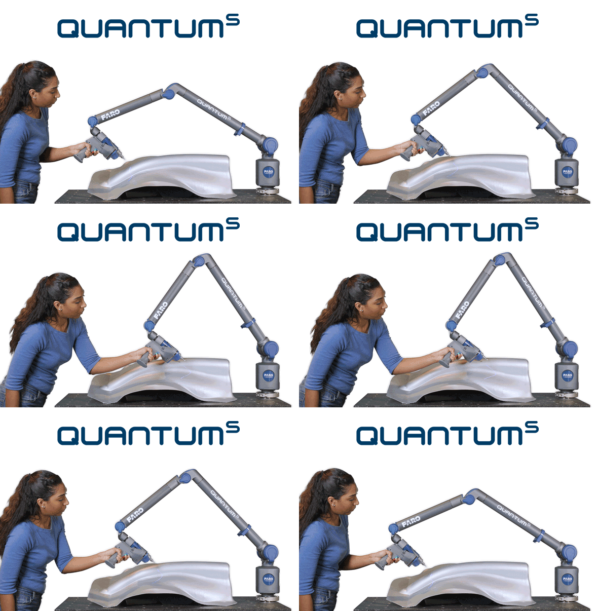
FARO QuantumM ScanArm HD

Inspection automation has advanced from 2D to 3D measuring, and our Faro Arm technology allows us the freedom to quickly and accurately measure anything from simple brackets to complex fabrications with a measuring range between 0 and 76m, alongside an accuracy of up to 5 microns.

Using Faro Arm technology we can reverse engineer any part and create accurate and detailed engineering drawings for manufacture. The Faro Arm is connected to a PC which transfers point data, and in turn generates a graphical 3D model of your product on screen. 

This enables us to take a part which has no engineering drawings, or even missing data, and quickly gather all the required information to produce drawings, programmes and to manufacture the part. This equipment is entirely portable, so if the part cannot be delivered to us, we are able to carry the service out at a location of your choice – ideal for parts that cannot be removed from their location. 

Need to get a Quote.?

Contact us Today immediately