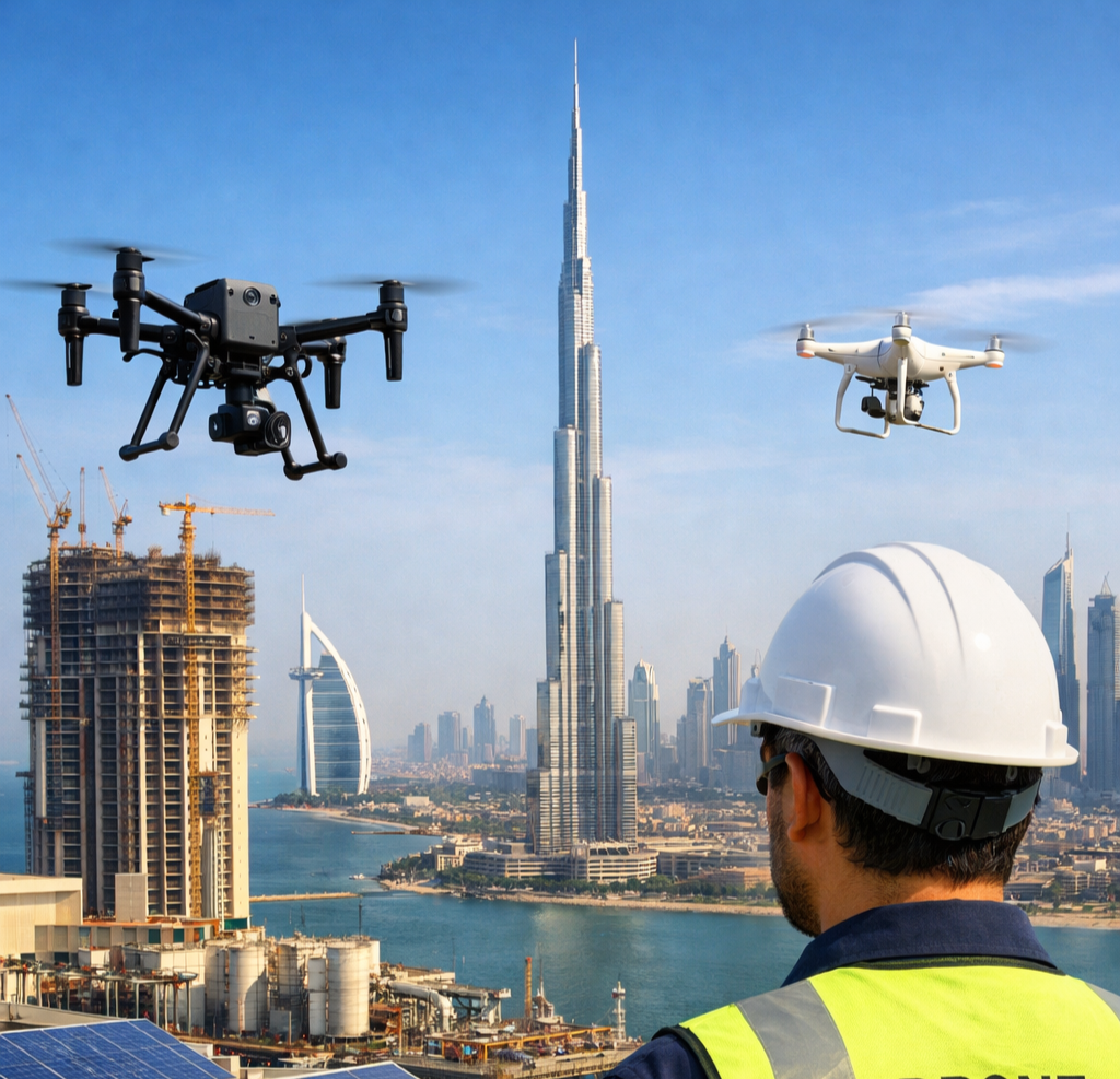
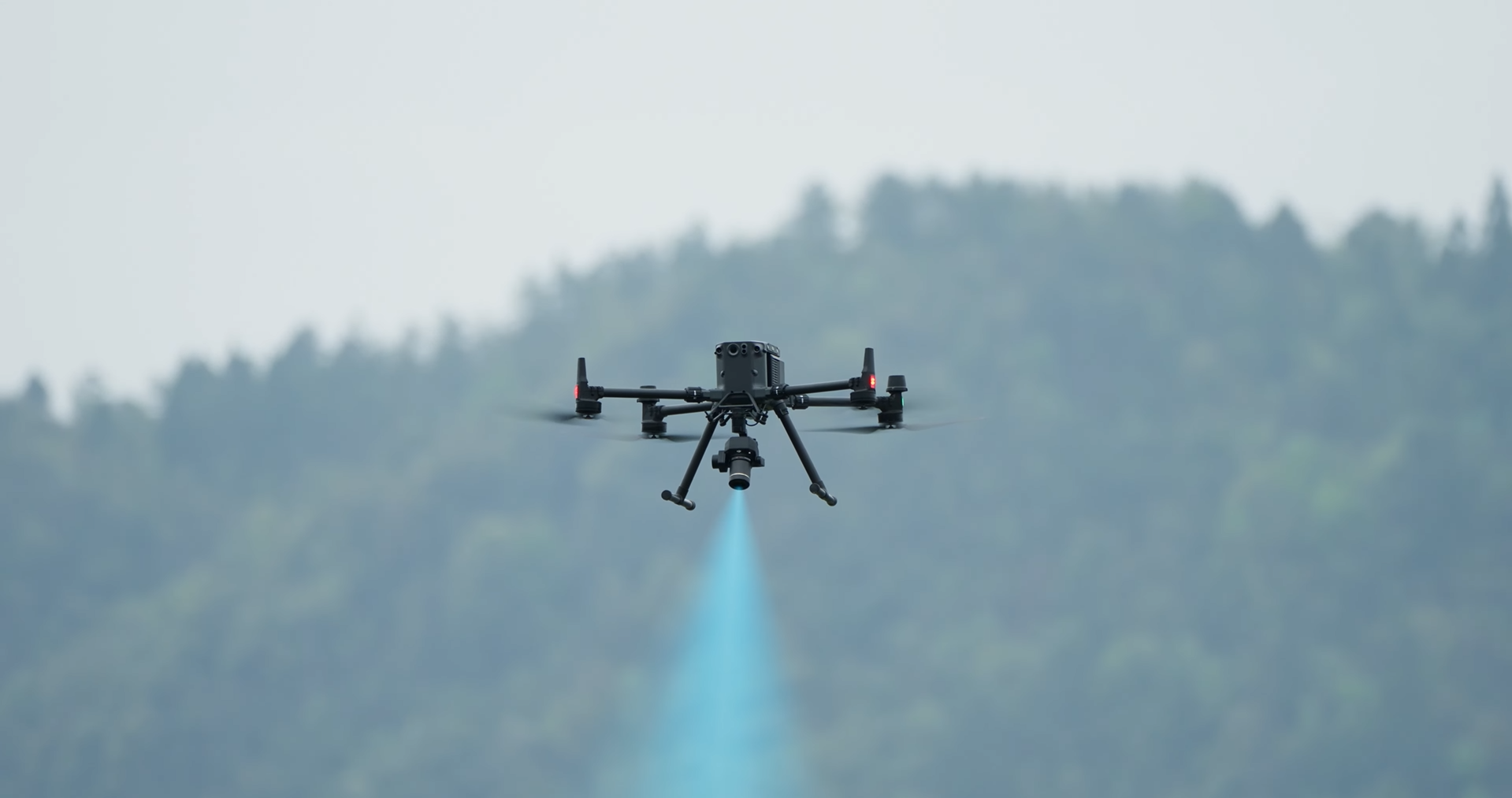
You can use our Drone Inspection Service to quickly, safely, and without any problems check out buildings, sites, and business assets. We don't send people into dangerous or hard-to-reach places; instead, we use high-tech drones to get accurate data and clear pictures from above.
We are a trustworthy Drone Services Company in Dubai, and we offer smart and useful Drone Solutions & Services in the UAE to companies in the oil and gas, infrastructure, building, utilities, agriculture, and oil and gas industries.
Standard checks are sometimes unsafe, expensive, and take a long time. A smarter option is to use drones for checks.
For jobs of any size, our Drone Inspection Services in Dubai, UAE, are perfect.
Our drone roof inspection service makes it easy to check roofs without having to use ladders, platforms, or shut down the building. The air gives drones a good view of cracks, water leaks, damaged areas, and heat loss. It works best for business and residential buildings.
You get clear pictures and reports that are easy to understand, which gives you the confidence to plan fixes.
This is a quick and effective way to measure land, buildings, and sites. It is also known as drone mapping or drone surveying. Our drones fly over the area and take high-quality pictures that are then used to make plans and models in both 2D and 3D.
Drone mapping is often used for: Planning and keeping track of construction progress.
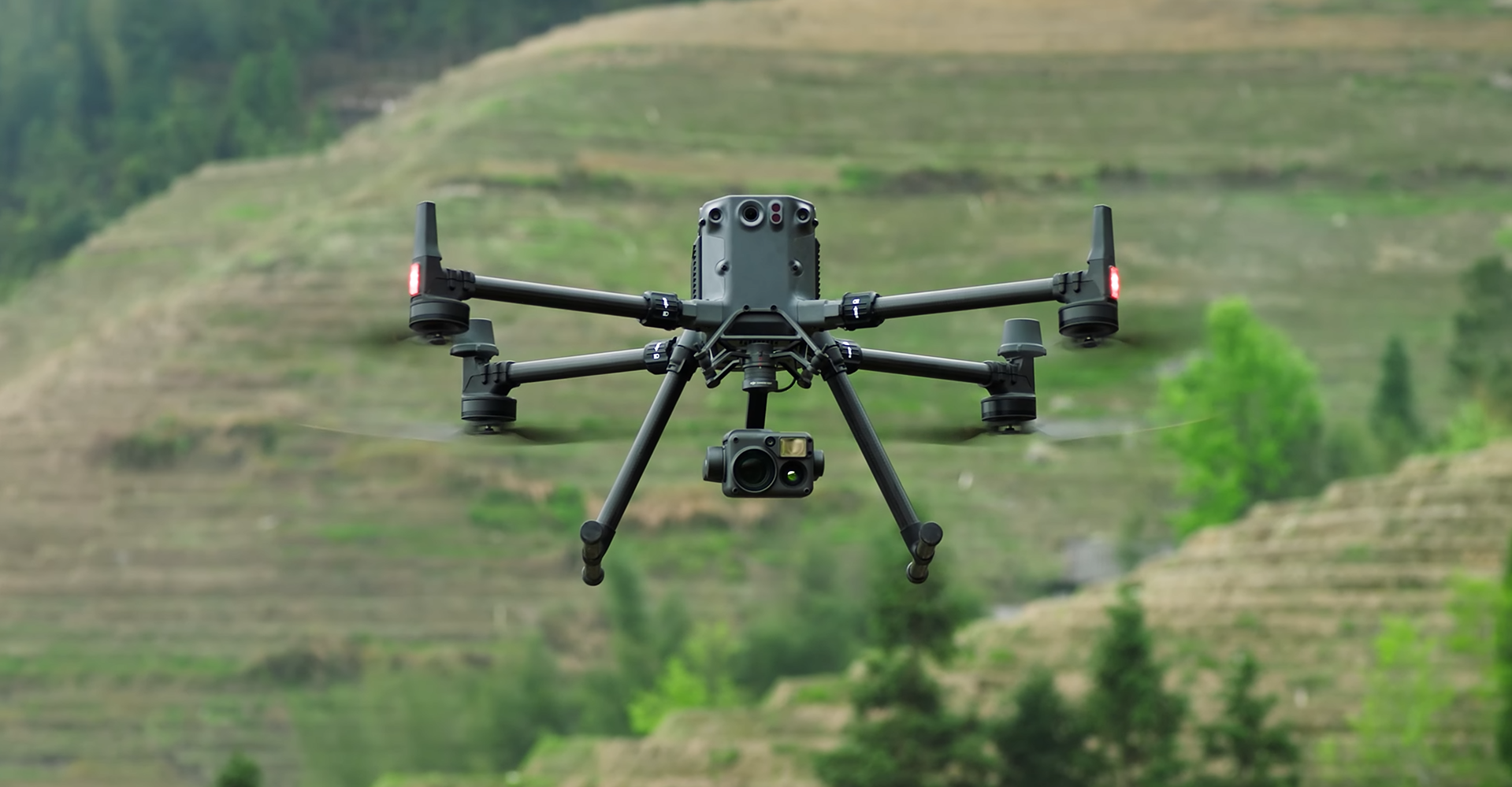
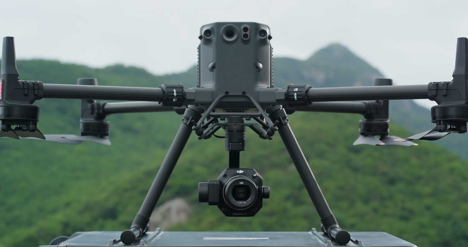
We use new, safe drones that were made for business use
We use new, safe drones that were made for business use
We can do industrial aerial drone inspection services in the UAE safely and quickly with these drones because they can carry high-tech cameras and sensors.
Thermal cameras can find electricity problems, heat loss, and leaks. From a safe distance, zoom cameras can take pictures of close-up features.
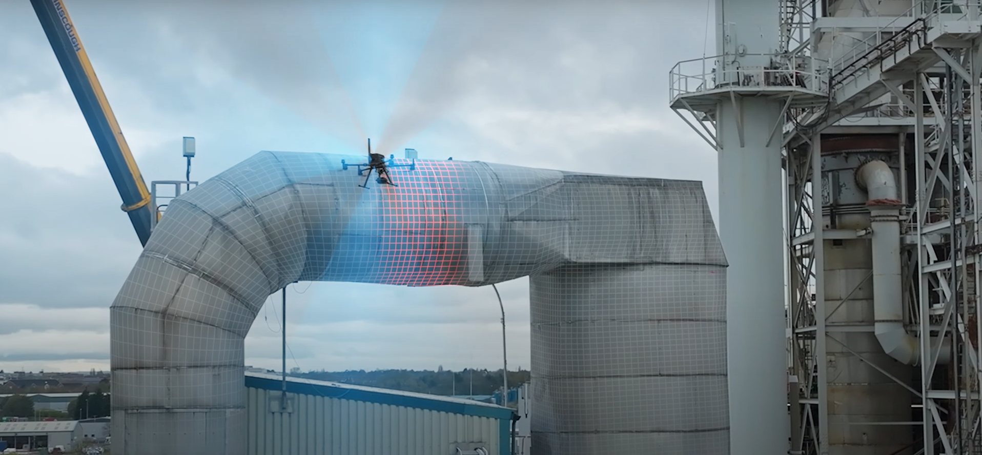
Some places are dangerous or hard for people to get into. Our ELIOS 3 drone is made to check out tanks, pipelines, tunnels, and industrial sites, as well as other tight spaces.
It works great for companies and industrial plants. Mining and places below the ground, Structures that are broken or limited, This keeps people safe and gives inspectors clear information.
We have a lot of different drone services to meet the needs of other businesses. These are our services:
These services help companies save time, lower their risk, and work better.
We give reports that are easy to understand and useful. They don't have any complicated data or forms. You get: Videos and pictures of high quality
A lot of different companies trust Dubai, UAE:
Our pilots are experienced, our drones are modern, and we prioritize quality and safety. We want you to make sensible decisions; therefore, we give you accurate results. You ready to start? Need skilled UAE drone services, testing, or solutions? Contact us today to confidently track, map, and monitor your assets.
Request a Drone Inspection