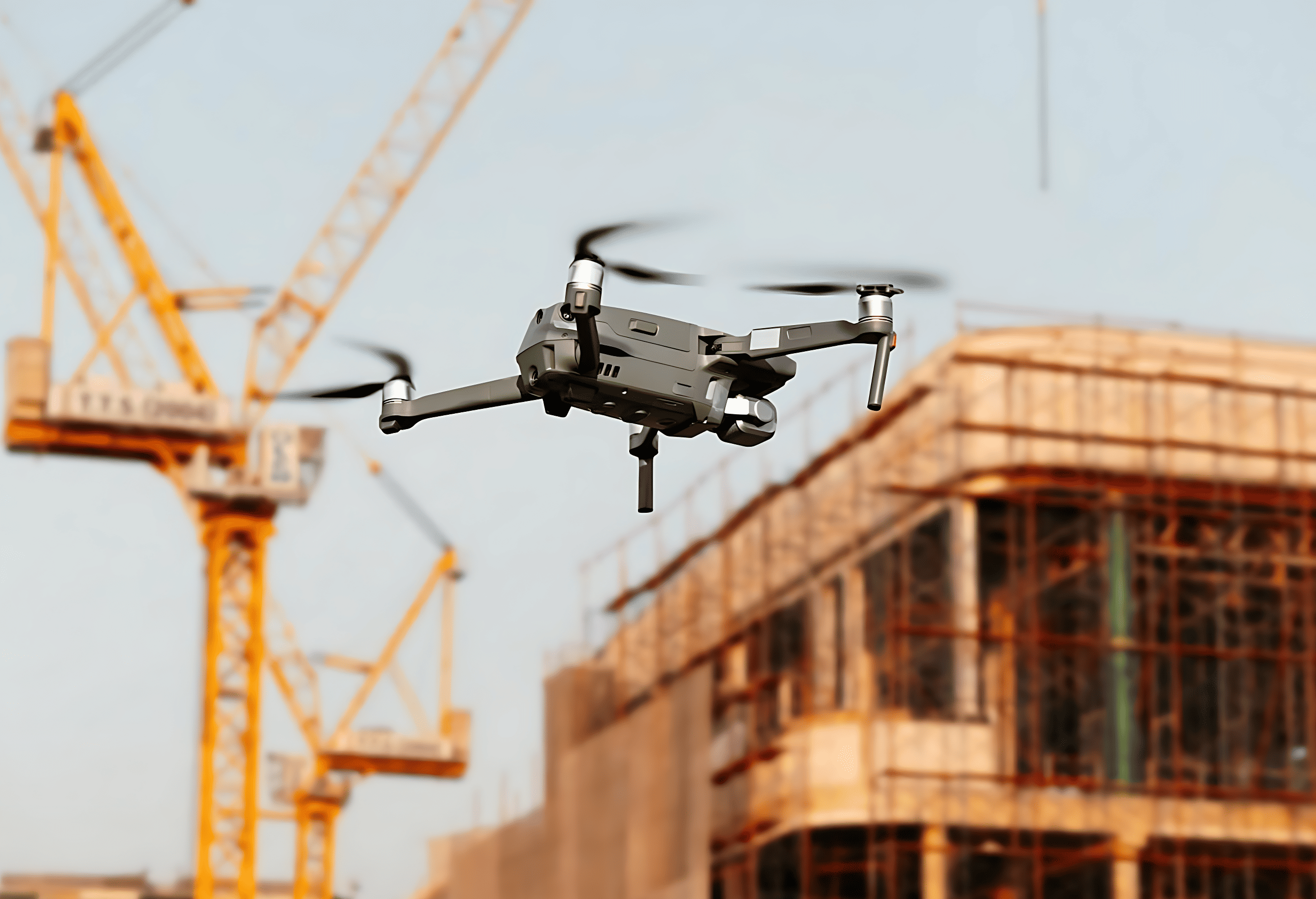
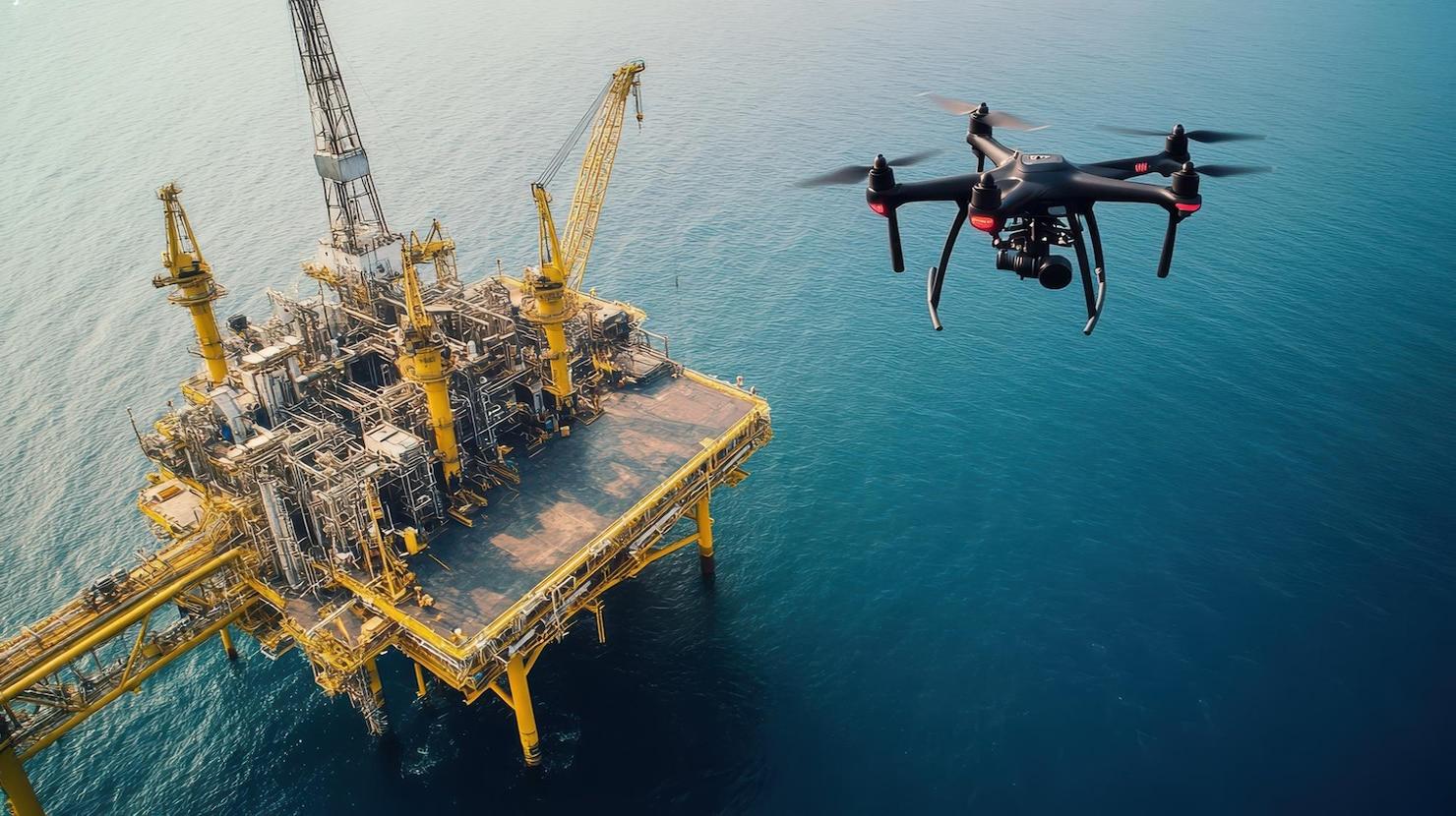
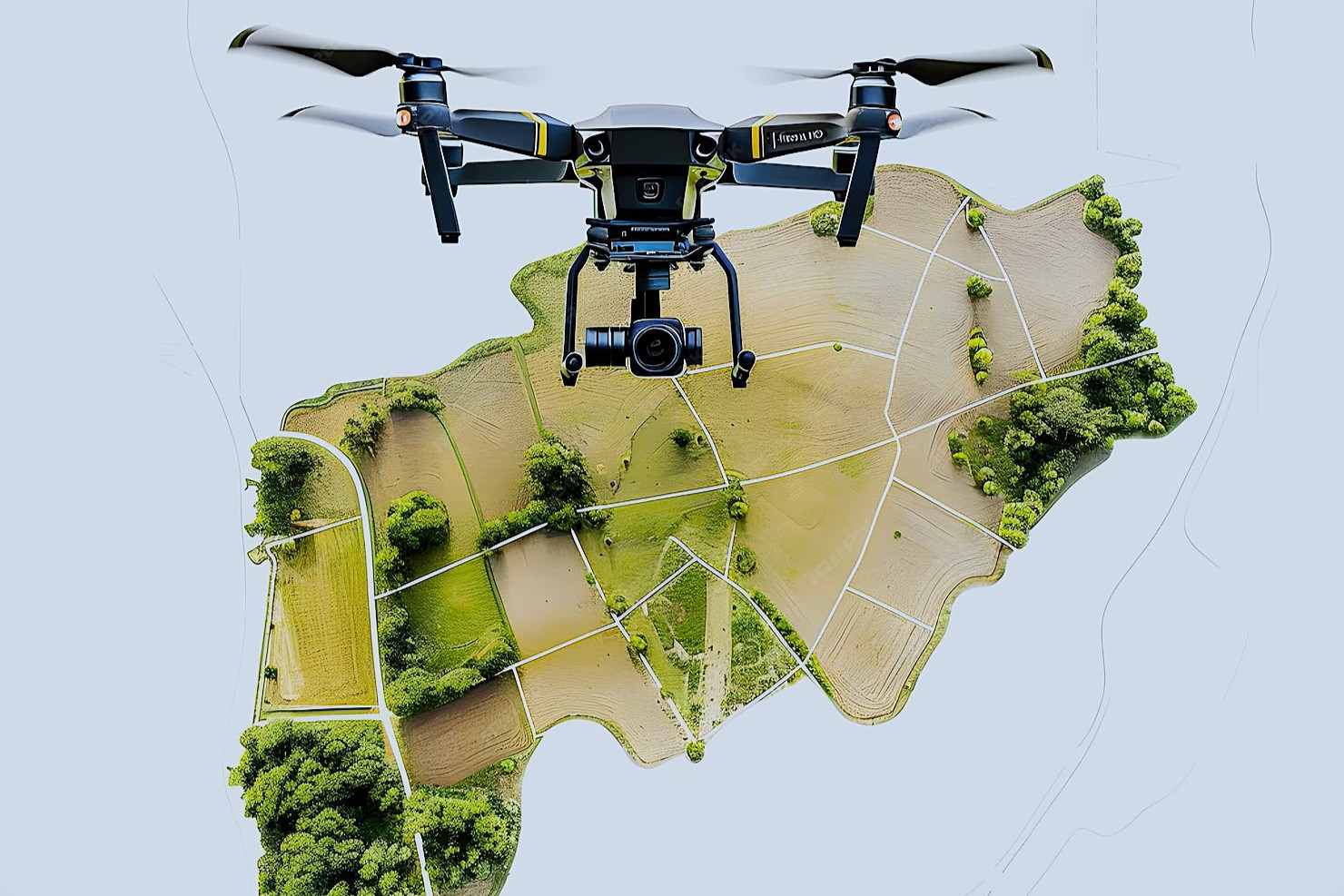
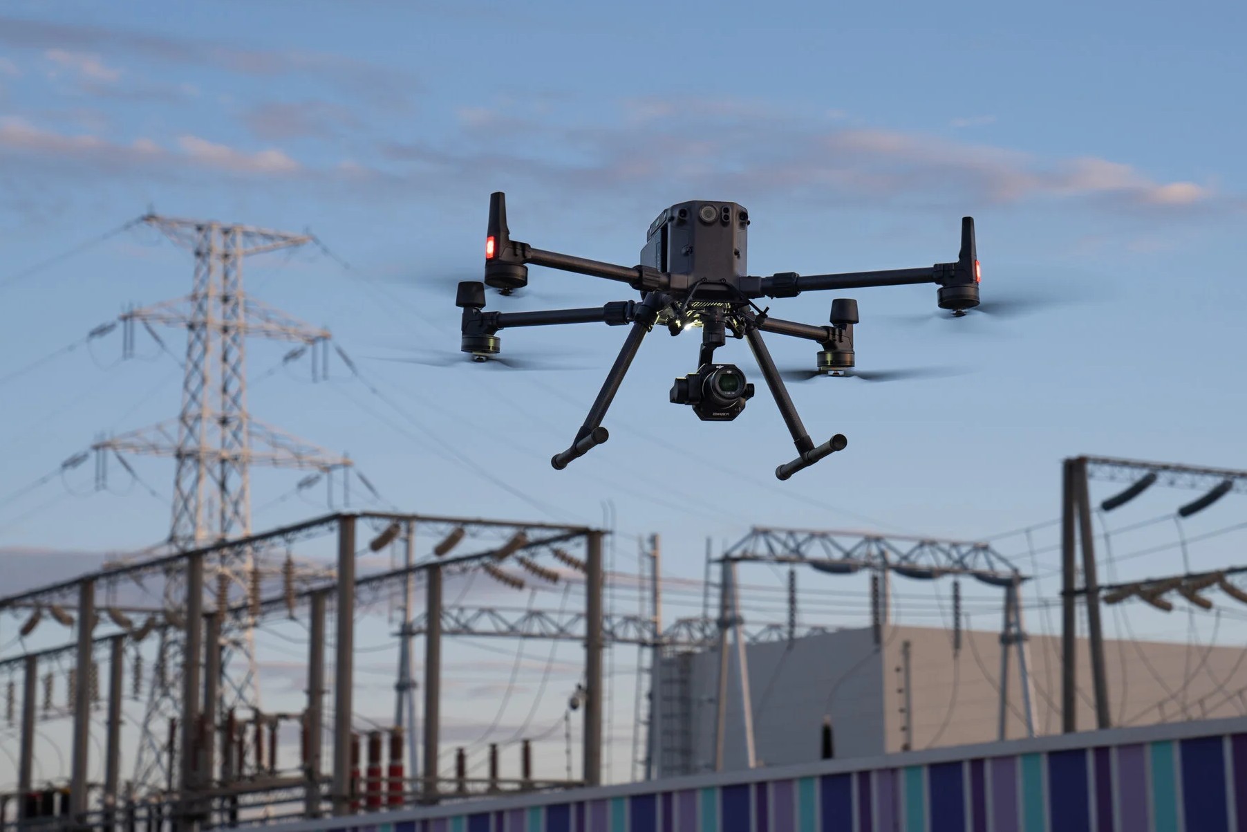
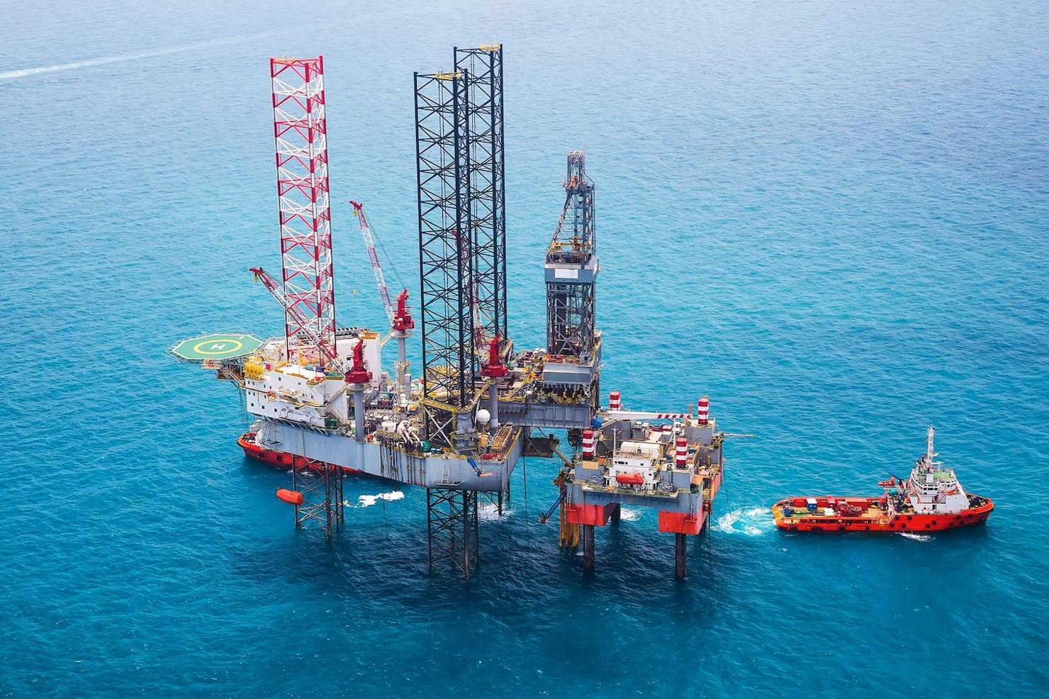
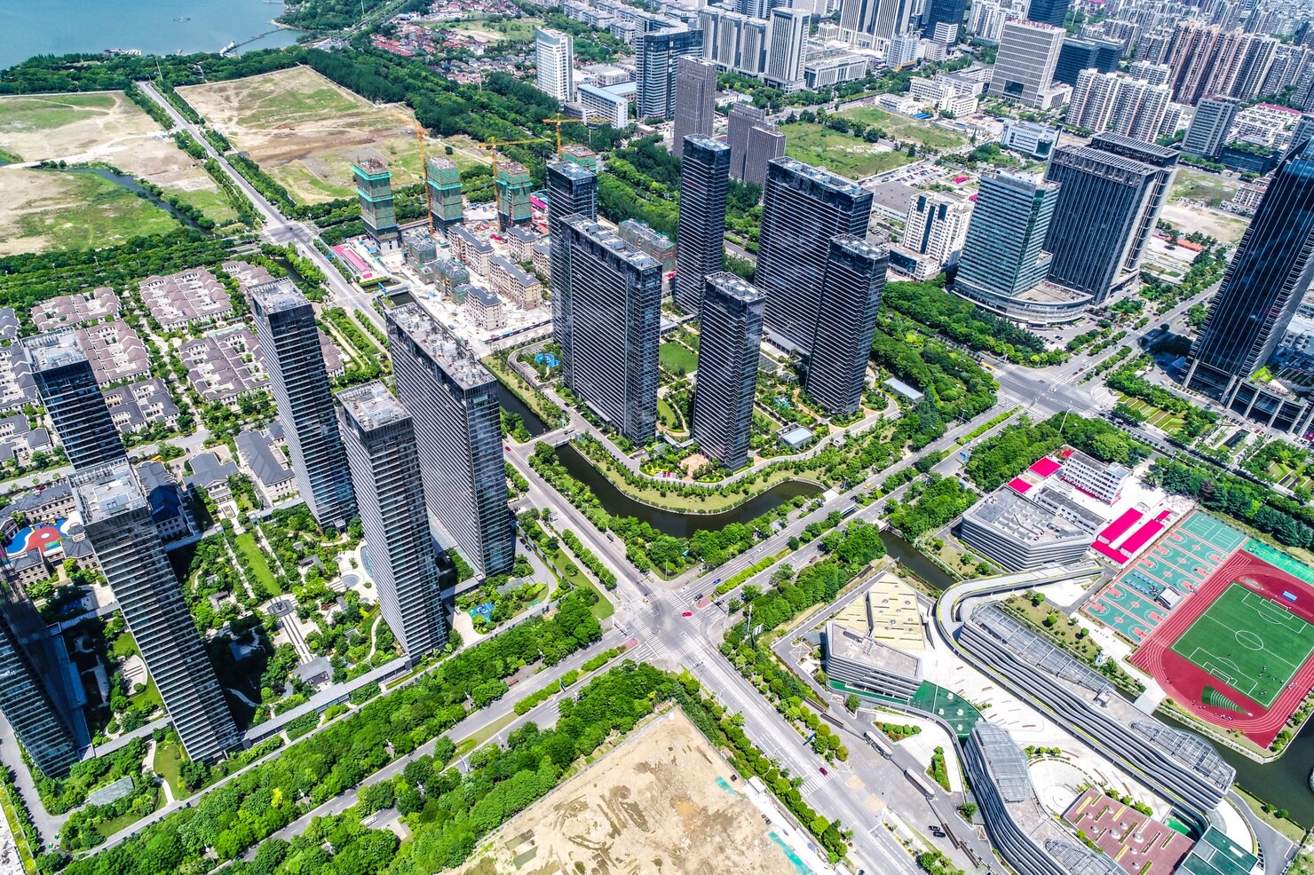
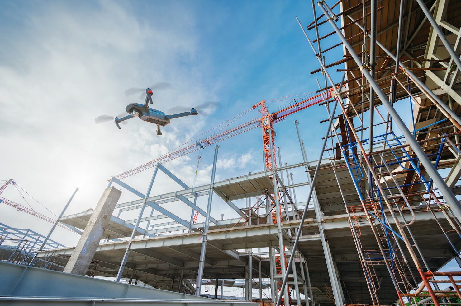
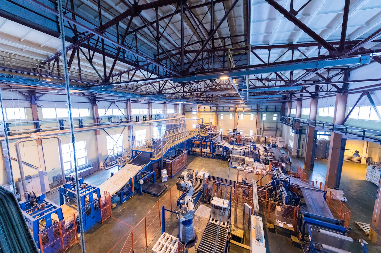
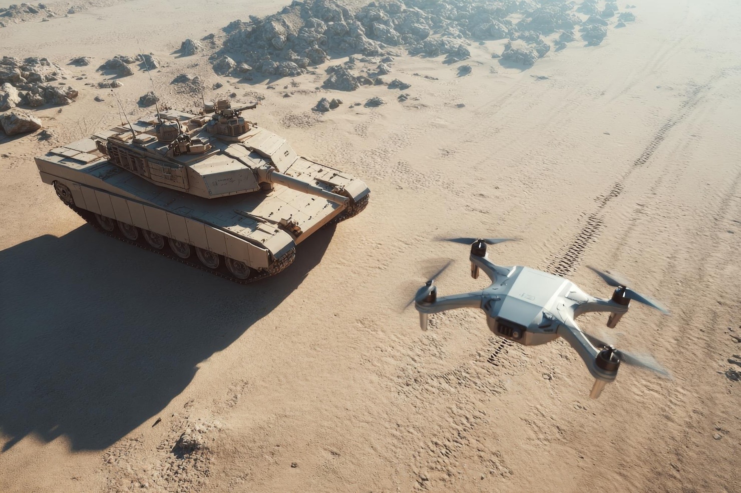
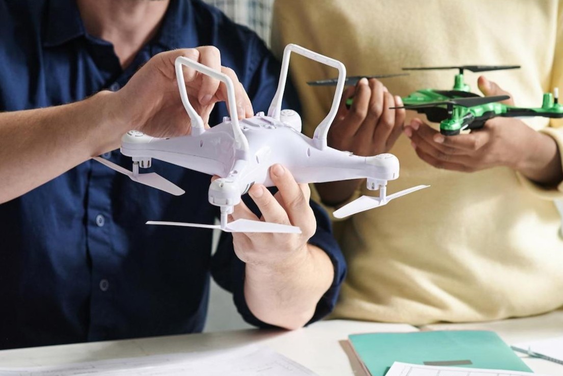
simple website templates

Mining, Quarries & Aggregates

With a single automated flight, MATRICE 300 RTK drones collect timely, georeferenced data that is quickly transformed into a precise 3D model of your site. This can then be used to calculate volumes, perform site surveys, design road layouts & much more.

Stockpile Volume Calculations Using Drone Data

Using traditional ground-based surveying methods to calculate the volume of a drone stockpile measurementmeans a surveyor must take their equipment on site and capture the coordinates and elevation of multiple points—around the base of the stockpile, on top of the stockpile, and along all of the breaklines.

Once these points have been captured, the surveyor can go back to their desk and generate a surface model. This model is compared against previous survey data, or a baseline surface or a virtual reference plane, to calculate volume changes.

Measuring all the stockpiles in a large stockyard using this method can take days to complete. The surveyor is generally exposed to hazardous conditions (walking near heavy equipment, climbing up unstable stockpile surfaces, etc.) and it’s often necessary to halt operations while surveying work is in progress.

Using Drones, MATRICE 300 RTK

The more points that are captured, the more accurate a surface model will be drone stockpile measurement drone can capture thousands more points than a surveyor using traditional methods, in a fraction of the time.

As an added benefit, using a drone means nobody needs to scramble up and down a stockpile, and site operations can continue uninterrupted.

By stitching together geotagged drone photos with high overlap, captured from multiple angles, Drones allows users to generate very dense 3D point clouds. While ground-based surveys capture just one point every 2–3 meters, an average stockpile surface within the Drone platform is modeled using tens of thousands of points.

Typical industries using DTA drone volumetric surveying services:

>>    Construction (especially earthworks)

>>    Landfill 

>>    Quarrying & Mining

>>    Soil Supplies

>>    Soil & Construction Materials Recycling

The result is more precise 3D surface models for higher accuracy volume calculations, safer and faster than before.  

The Other Applications, rather than Volume Calculation

volumetric surveying

Know your site’s status more frequently

Measure stockpile, pit, & blast volumes in a few clicks. Never walk a pile again. Drone surveying takes a few hours and your data is ready to access from your browser in 24 hours. Drone’s easy-to-navigate interface lets you track production without pausing operations.

volumetric surveying

Monitor haul roads & pit faces remotely

Ensure safety compliance by monitoring haul roads survey to survey. Improve efficiency by optimizing roads for fuel burn. Inspect and measure bench and overall pit angles without sending someone on site. In Drone you can view the 3D survey and individual high-resolution images from drone flight.

Inspect equipment & contractors

Inspect equipment & contractors

Use high-resolution imagery of your site to easily and remotely perform crushing equipment inspections. Closely monitor plant upgrades and contractor payment works with every survey. Track and mark off environmental hazards for everyone on your team to see.

Drone Stockpile Volume

Drone Stockpile Volume Surveys

Falcon.3D's volumetric surveys can accurately calculate your stockpile or earthworks volumes.

The accurate measurements of material that you have available to sell, or volumes and resources needed for earthworks extraction etc. can greatly improve the effectiveness of your business.

A volume survey is a topographic survey variant whereby particular attention is paid to levels, break lines and likely increased volume due to excavation and transfer into trucks.

We can provide a range of optional outputs:


>>    Detailed drawings with tabulated volumes (to your requirements)
>>    Cloud based digital models; accessible anywhere that you have a reasonable internet connection, providing you with interactive tools to measure volumes yourself.

See the images of one of the drones, 3D models and stockpile calculation being carried out on sharp sand.  

3D models and stockpile calculation

INTERESTED?

CONTACT US TODAY!