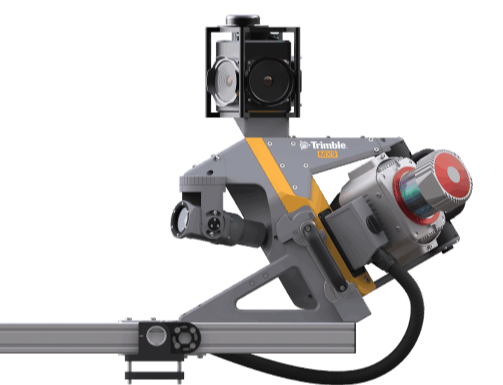
Trimble MX9
The MX9 is a complete field-to-finish mobile mapping solution combining state-of-the-art, advanced hardware with intuitive field software and a reliable, efficient office software workflow
Mobile mapping involves the use of sophisticated 360° high resolution optical camera systems in combination with LiDAR data acquisition sensors that can be mounted on almost any type of vehicle. Terabytes of high resolution, high precision data can be collected rapidly with mobile mapping services platforms.
Like UAV data, the magic with best mobile mapping services data happens in the office when the raw data is processed. Advanced Geomatics technology uses sophisticated software to process the imagery and LiDAR data and assemble it into a virtual desktop based on the real world. Any number of features on the ground can then be captured and recorded from the data and stored in GIS and/or CAD-compatible formats for use in other workflows and/or distribution to wider user groups through web portals and GIS. Comprehensive and detailed asset management databases are often created from mobile mapping datasets.

The MX9 is a complete field-to-finish mobile mapping solution combining state-of-the-art, advanced hardware with intuitive field software and a reliable, efficient office software workflow
The technology provider recently unveiled a new mobile mapping solution that combines a vehicle-mounted mobile LIDAR system, multi-camera imaging, and field software.
The Trimble MX9 mobile-mapping solution can be used in a range of applications including:
>> Road Survey
>> Topographic mapping
>> 3D modeling
>> Asset management
The technology captures dense point cloud data along with 360 degree georeferenced imagery and it is integrated with Trimble’s office software. Tools are also available for survey and engineering applications as well as deriving and publishing GIS and asset management deliverables.
Geographic information systems (GIS) continue to advance for construction. Today, there is greater use of the technology in infrastructure development, urban planning, and other areas of construction. The technology connects data with its geography, and it is increasingly becoming integrated with other Internet of Things (IoT) technologies.This provides users with the ability to make decisions using GIS. The integration of GIS with IoT devices also offers accurate data to users using the geospatial data analysis.
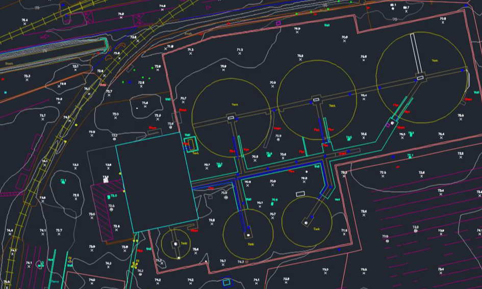
Planimetric maps of roads can be created by changing the shape of camera images and connecting them.
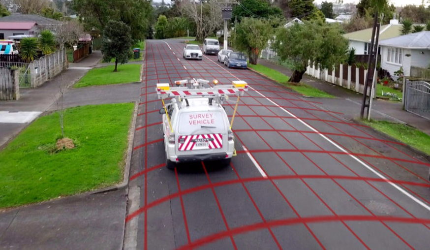
Falcon.3D provides Analysis of road infrastructure, Location of encroaching overhead wires, light poles, road signs, etc. , Road surface conditions
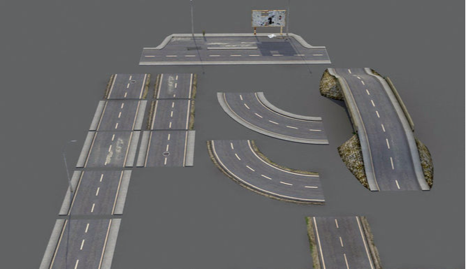
Mobile Mapping provides a remarkable capability and flexibility for the rapid 3D mapping overhead wires, utility, and power infrastructure including substations and power transmission corridors
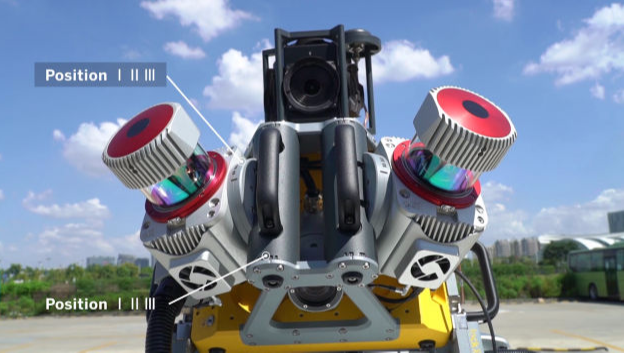
The MX9 mounts on top of a vehicle and rapidly captures dense point clouds and images—both panoramic and multi-angle. Rich corridor data can be collected at highway speeds, significantly improving data collection on busy highways and avoiding costly lane closures.
It is the next-generation solution for your needs today
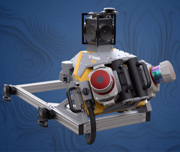
>> Very high point cloud density with complimentary immersive imagery
>> Advanced Trimble GNSS and Inertial technology
>> Lightest and most compact premium mobile mapping system
>> Simple installation and browser based operation from any smart device
>> Compatible with existing Trimble software and workflows
>> Enhanced remote support capabilities
>> Supported by Trimble Business Center Mobile Mapping for data processing
>> Trimble MX software for feature extraction workflows and data publishing
Contact us Today immediately