When you check on your solar panels often, they work better. At Falcon 3D, we use drones to make checking solar panels easy, safe, and stress-free. You can use our Solar Panel Inspection UAE service to find problems quickly, boost power output, and safeguard your solar investment, all without having to climb on roofs or stop work.
The old method of checking solar panels takes a lot of time and can be dangerous. Inspections are faster, safer, and more accurate when drones are used. You get the following with our Solar Panel Inspections Dubai:
It's a quick, accurate, and easy way to check something.
Easy & Reliable Solar Panel Drone Inspection
Rooftops, solar farms, and big sites are all great places for our solar panel inspection service by drone. Drones can fly to places that people find hard or dangerous to get to.
The main reason people choose drone inspections is:
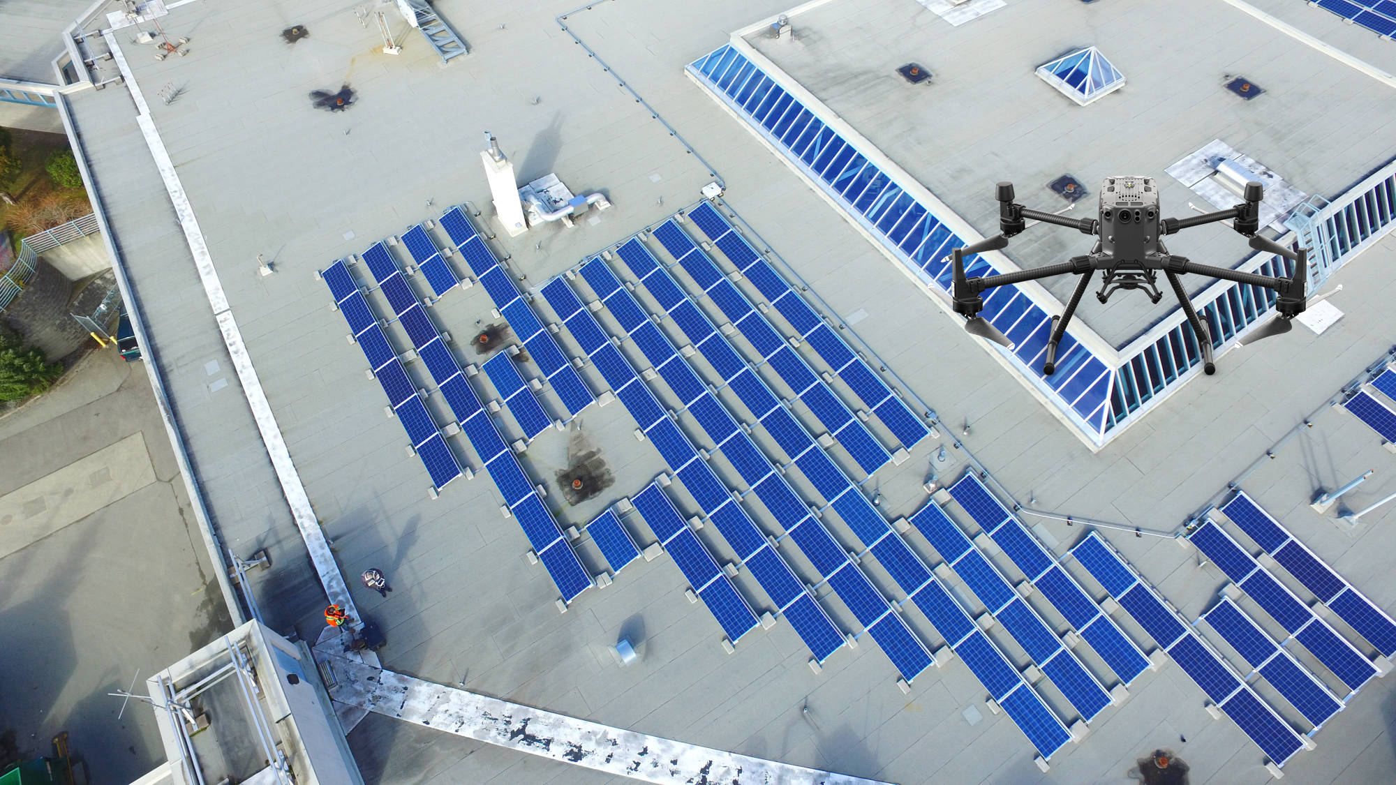
The heat, dust, and sand in Dubai can make solar panels less effective over time. Having your solar panels checked out regularly in Dubai will help keep your system running well all year.
We agree with:
Neglecting these problems can make less energy available. Flying a drone over them helps fix them quickly.
Safe: There are no steps or scaffolding
Quick: Covers a lot of ground in little time
Correct: Thermal cameras find problems that are hidden.
Saving money - Less work and fewer problems
Our drone services for surveying solar panels can be used for: Home solar roofs.
Business buildings
Places of business
A lot of solar farms
A professional solar panel drone check in Dubai will make sure that your solar panels stay working well and don't have any problems. Get in touch with us right away to set up your solar panel drone scan and make sure your investment in solar works at its best.
Contact Us